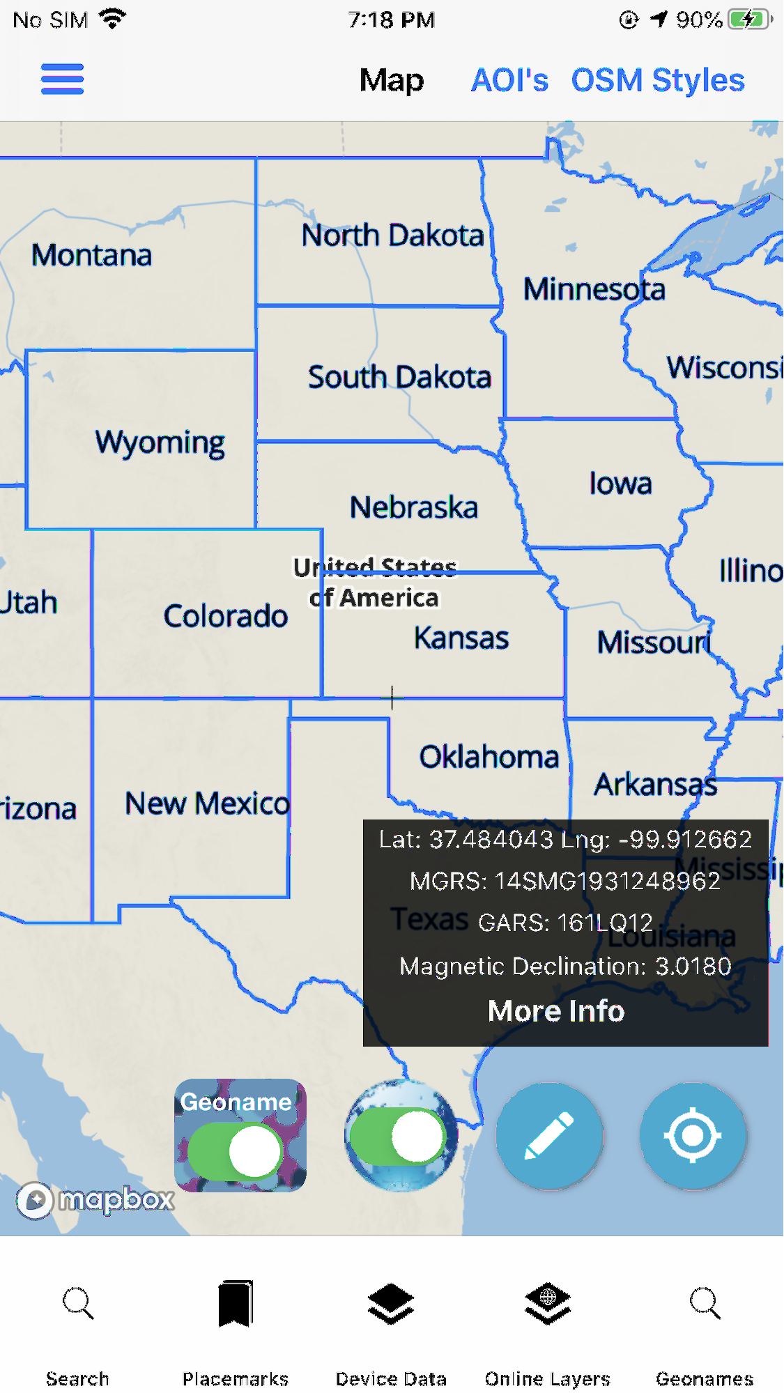
Controlling the Display of the GeoNames data on the map.
✓ You can decide what Feature Classes to Show. By default it’s set to show all
✓ Includes Toggles for the GeoNames Data
✓ As well as Vector Tile Overlays
✓ These online overlays are vector tiles produced by and served by Tech Maven Geospatial
✓ By default they are all off
✓ Users can toggle on/off the geonames Feature Class Categories they want to see on the map.
- GeoNames Data is shown on the map via optimized vector tiles
- We are utilizing the Display Field in controlling the scale dependency/zoom levels to show the data
- As you zoom in additional data will be shown (for USA USGS GNIS there is no display field so it shows all data at all zoom levels)
- Data starts displaying at level 5 (0-4 there are no GeoNames Displayed)
- Vector Tiles allow overzooming of the data so there is NOT stopping the GeoNames after 15 they continue showing to 25
- When Scale Bar Shows (you do not want to be viewing geonames data when zoomed out behind this )
- 4 miles = about zoom level 10 (1:500,000 map scale)
- 2 miles = about zoom level 12 (1:150,000 map scale)
- 1 mile = about zoom level 13 (1:70,000 thousand map scale)
- 0.5 miles = about zoom level 13.5
- 0.25 miles = about zoom level 14 (1:35,000 thousand map scale)


