Form Designer
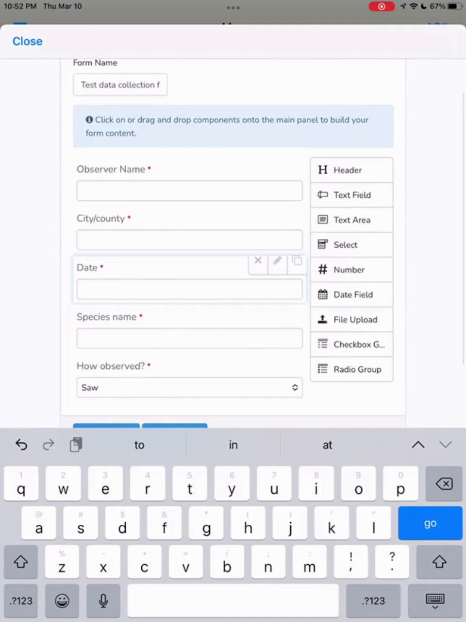
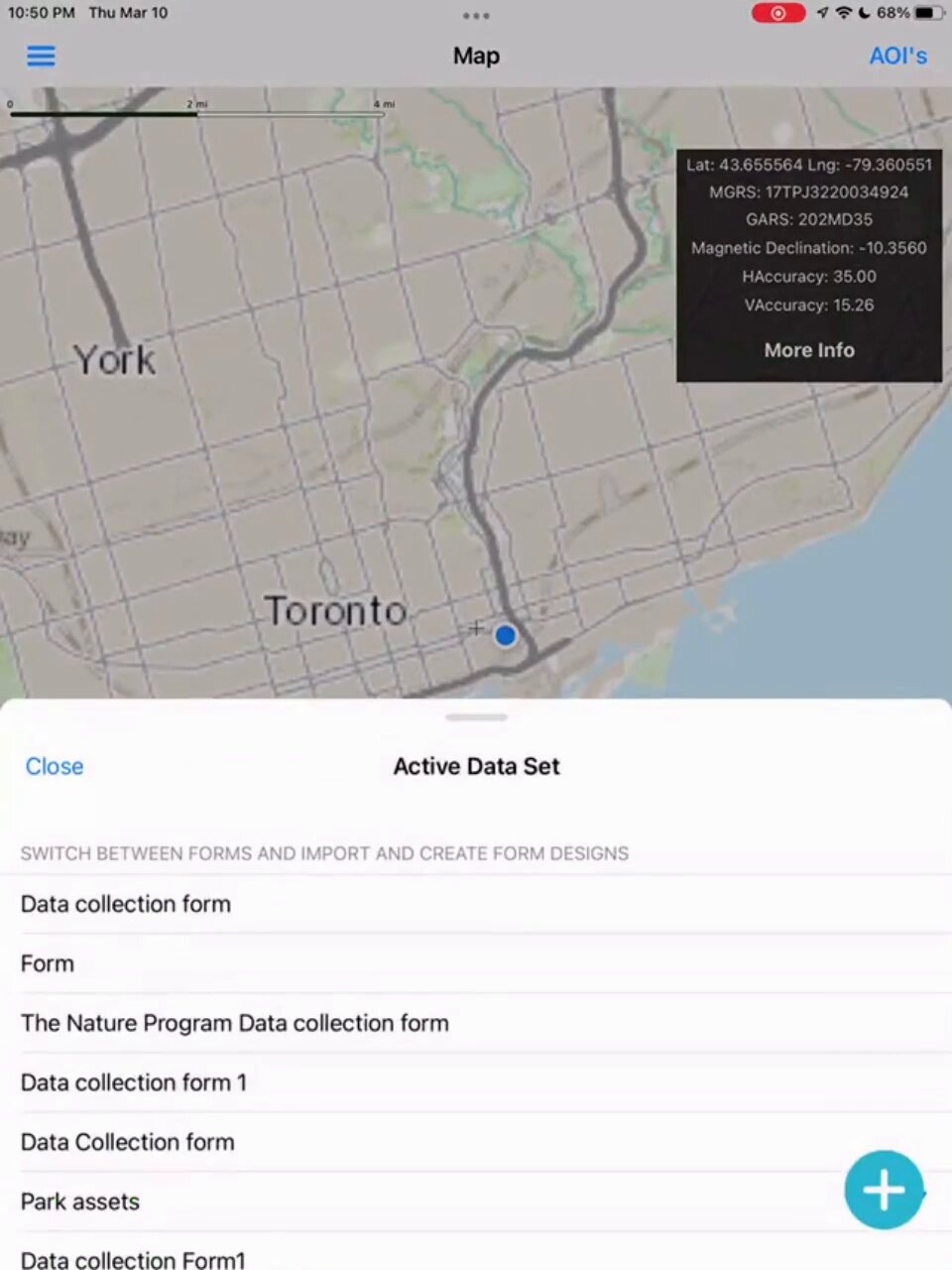
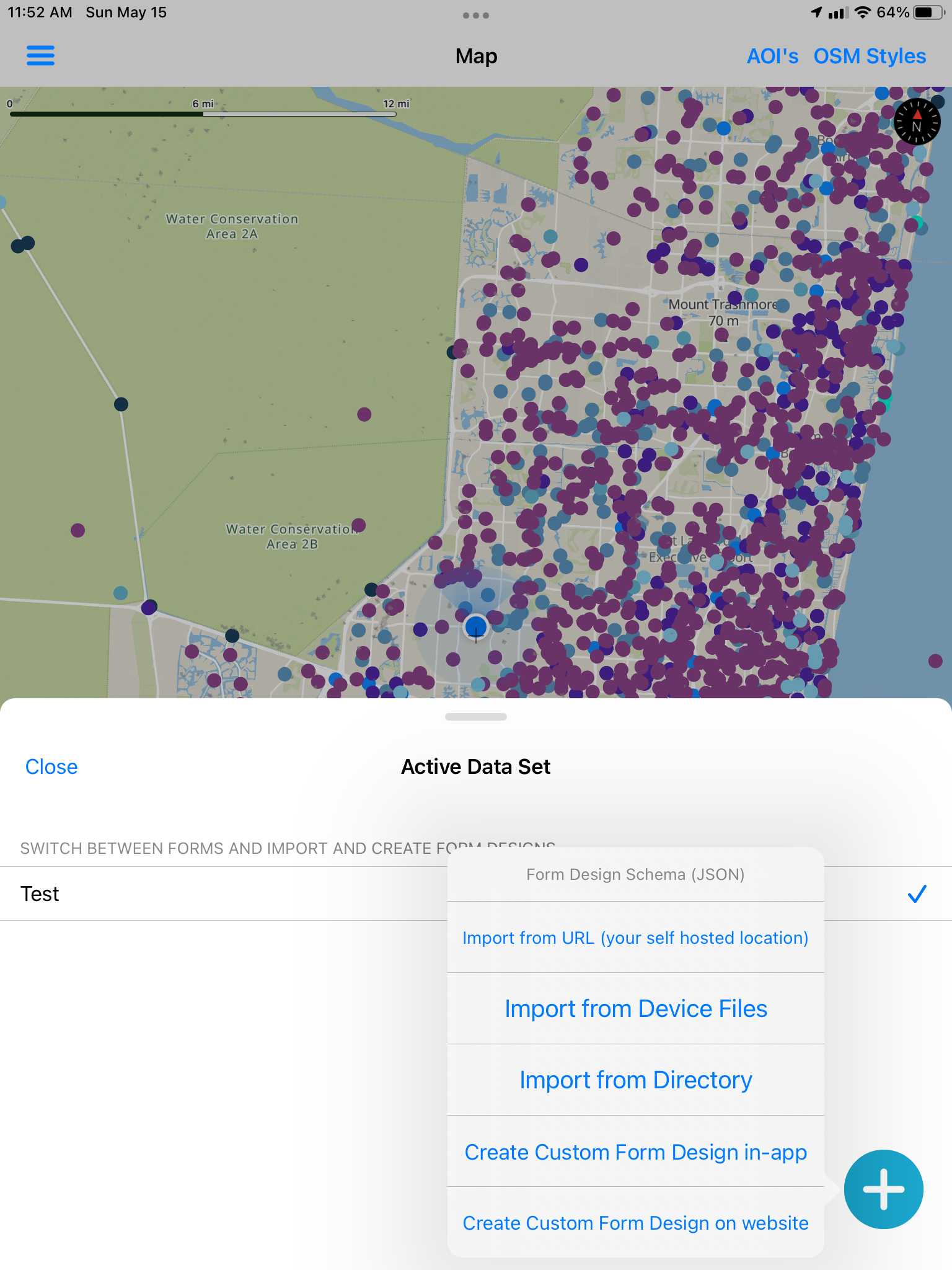
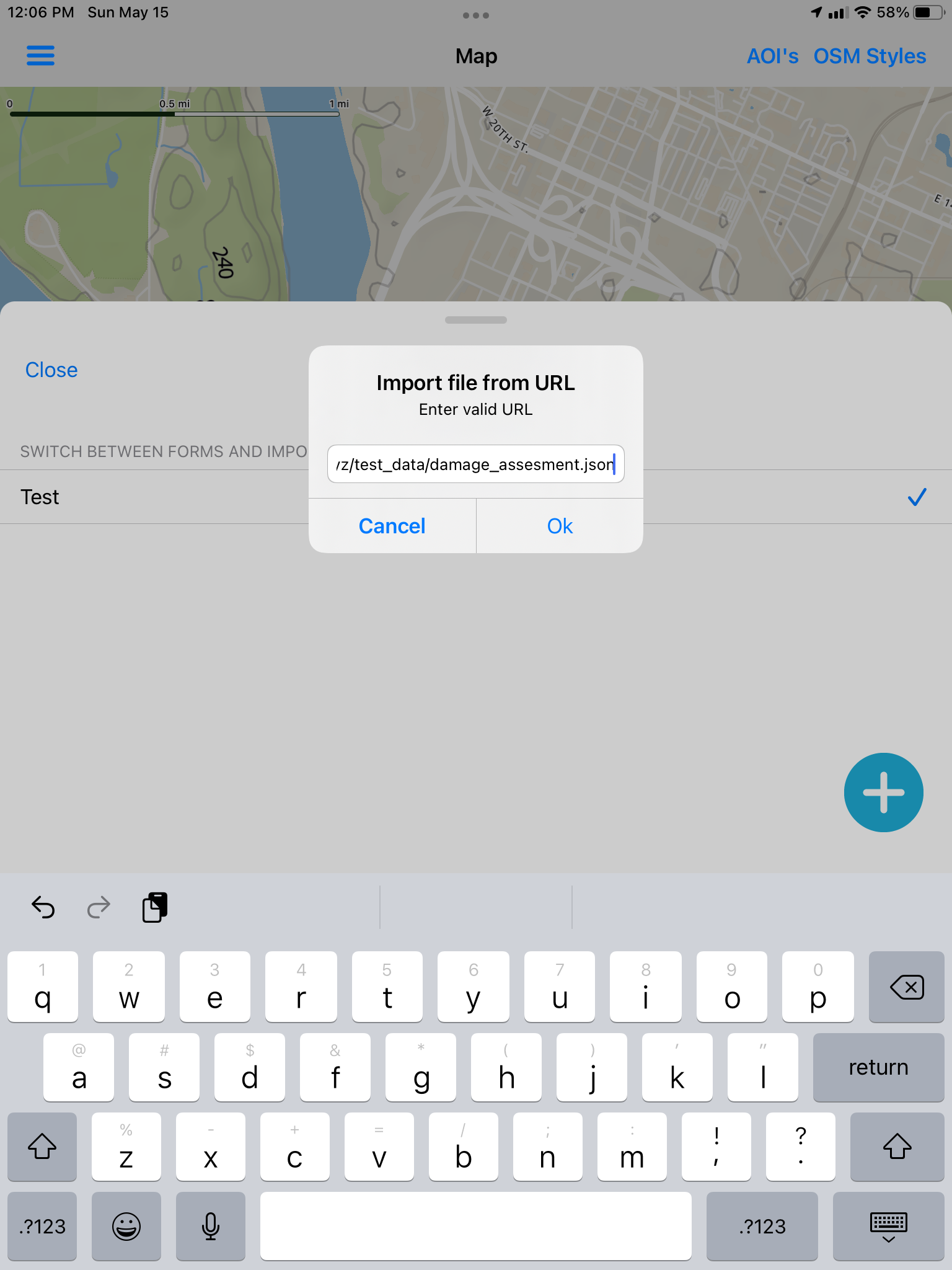
Create a form design and share it with your team (JSON Schema)
Flexible Form designer and adhoc in-app form building or via our website https://mapdata.xyz/form_generator/
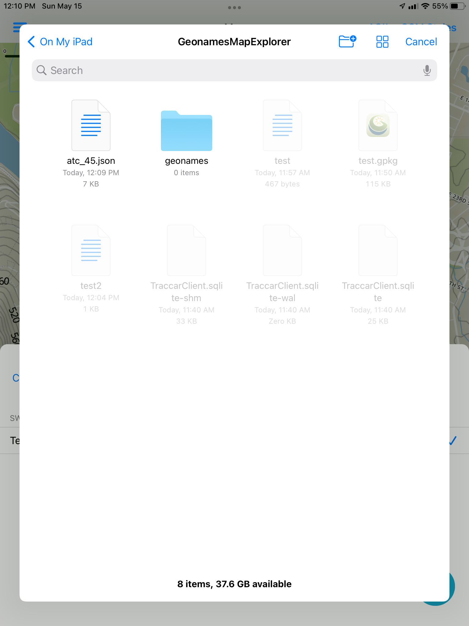
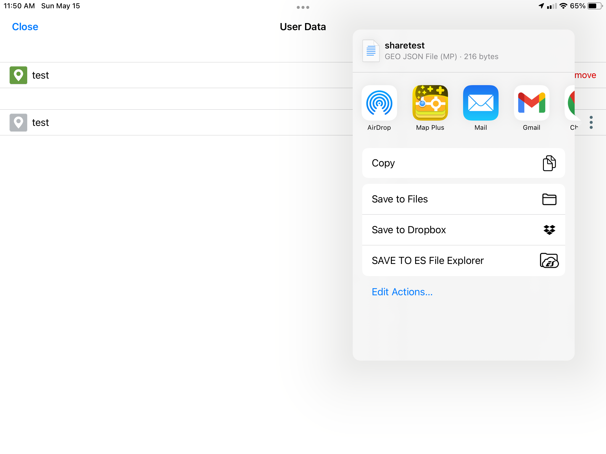
Supports saving data in GeoJSON and GeoPackage Vector Features
This works completely offline
Does NOT Require any server-side database/featureserver/api to use this. NO proprietary formats.
Also supports adhoc records for new data collection requirements.
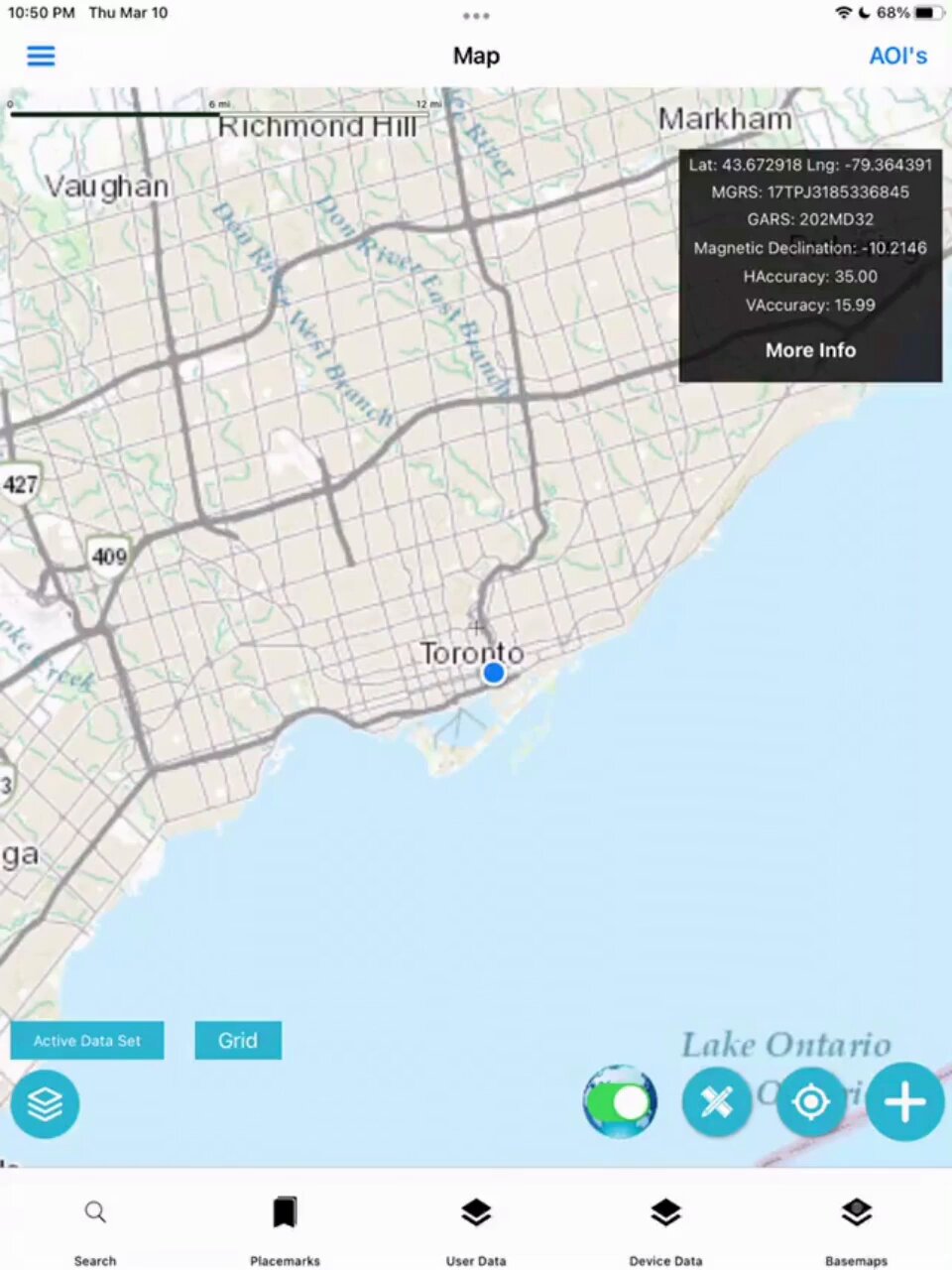
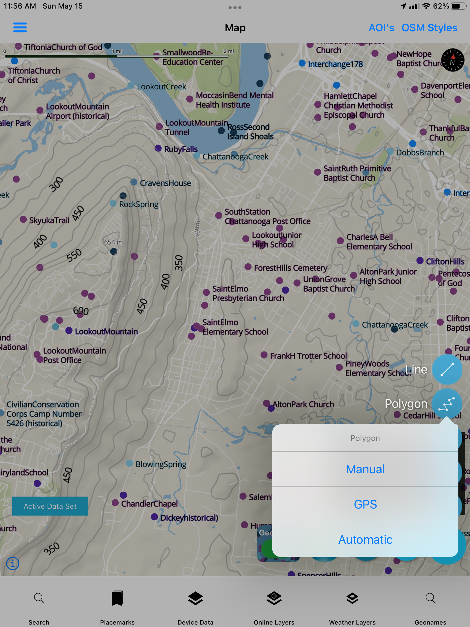
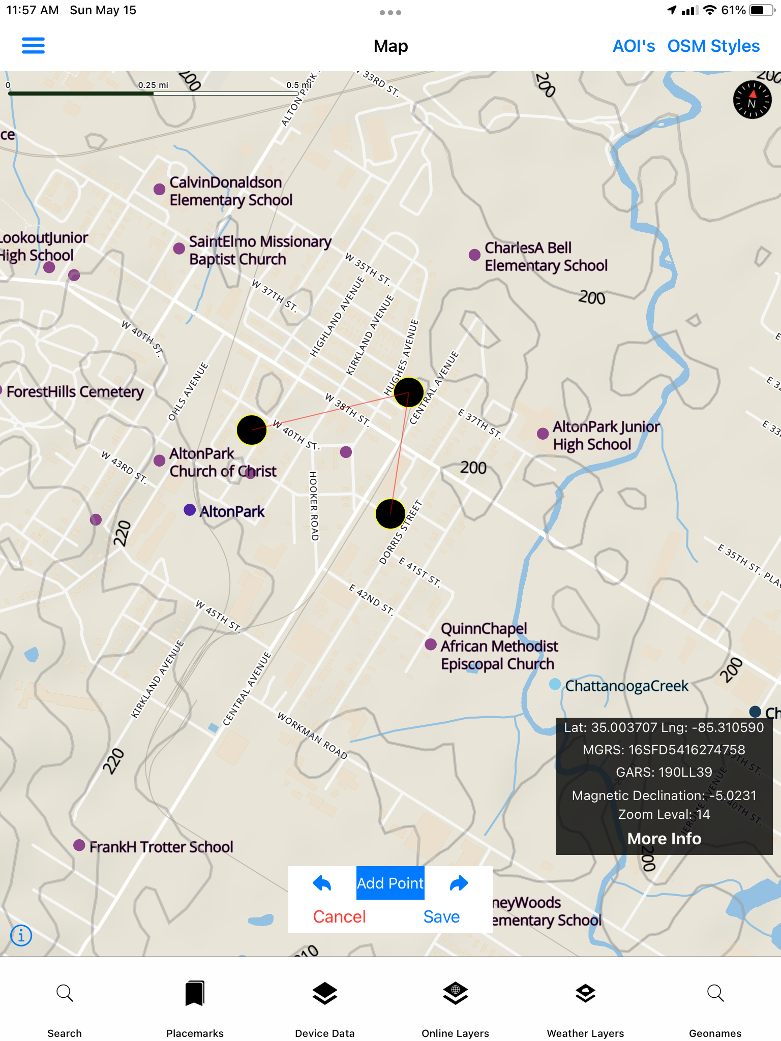
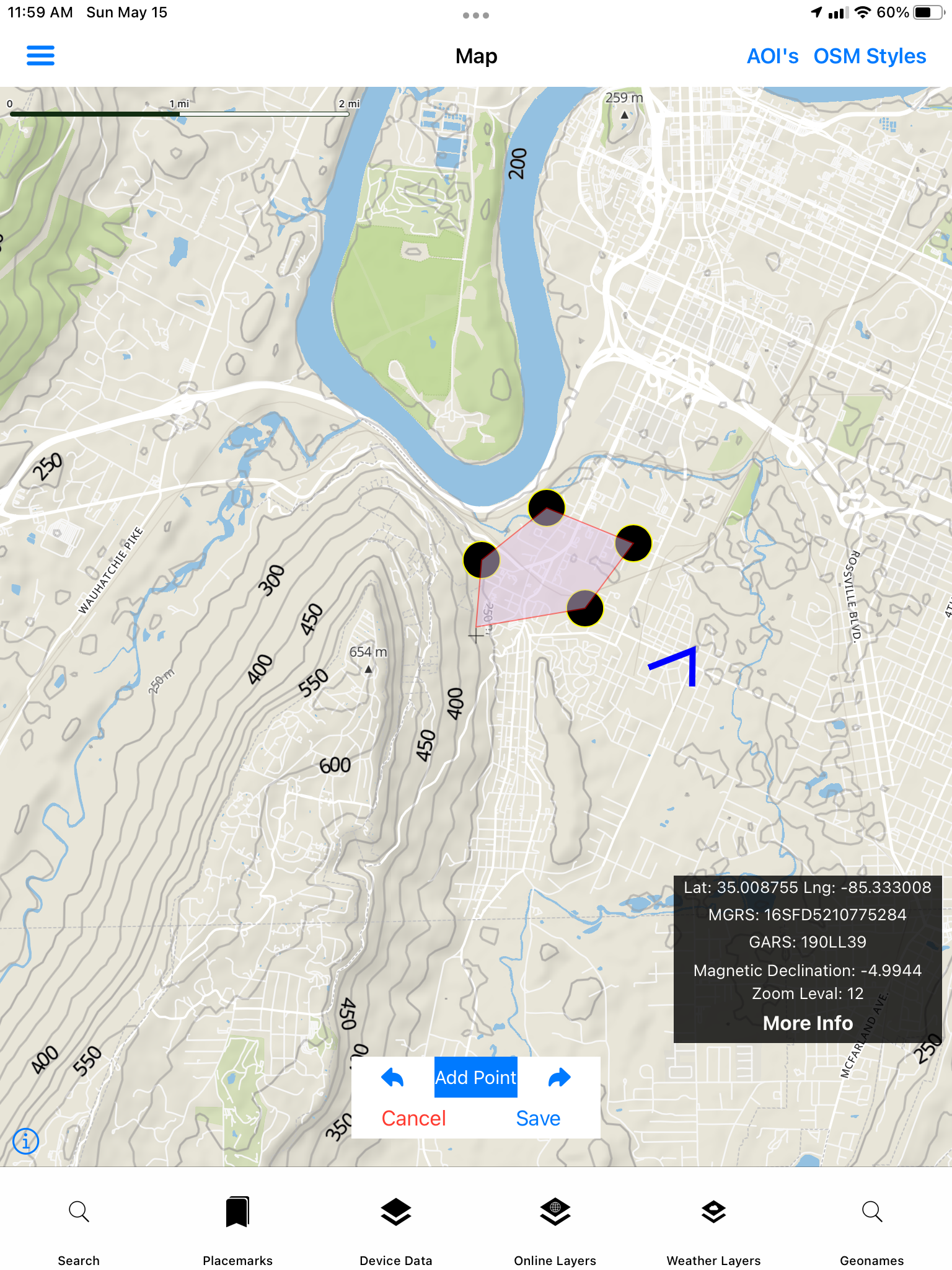
Data can be collected via GNSS/GPS or Drawing/Digitizing (Manual Mode) https://geonamesmapexplorer.techmaven.net/feature/vector-data-digitizing-and-editing/
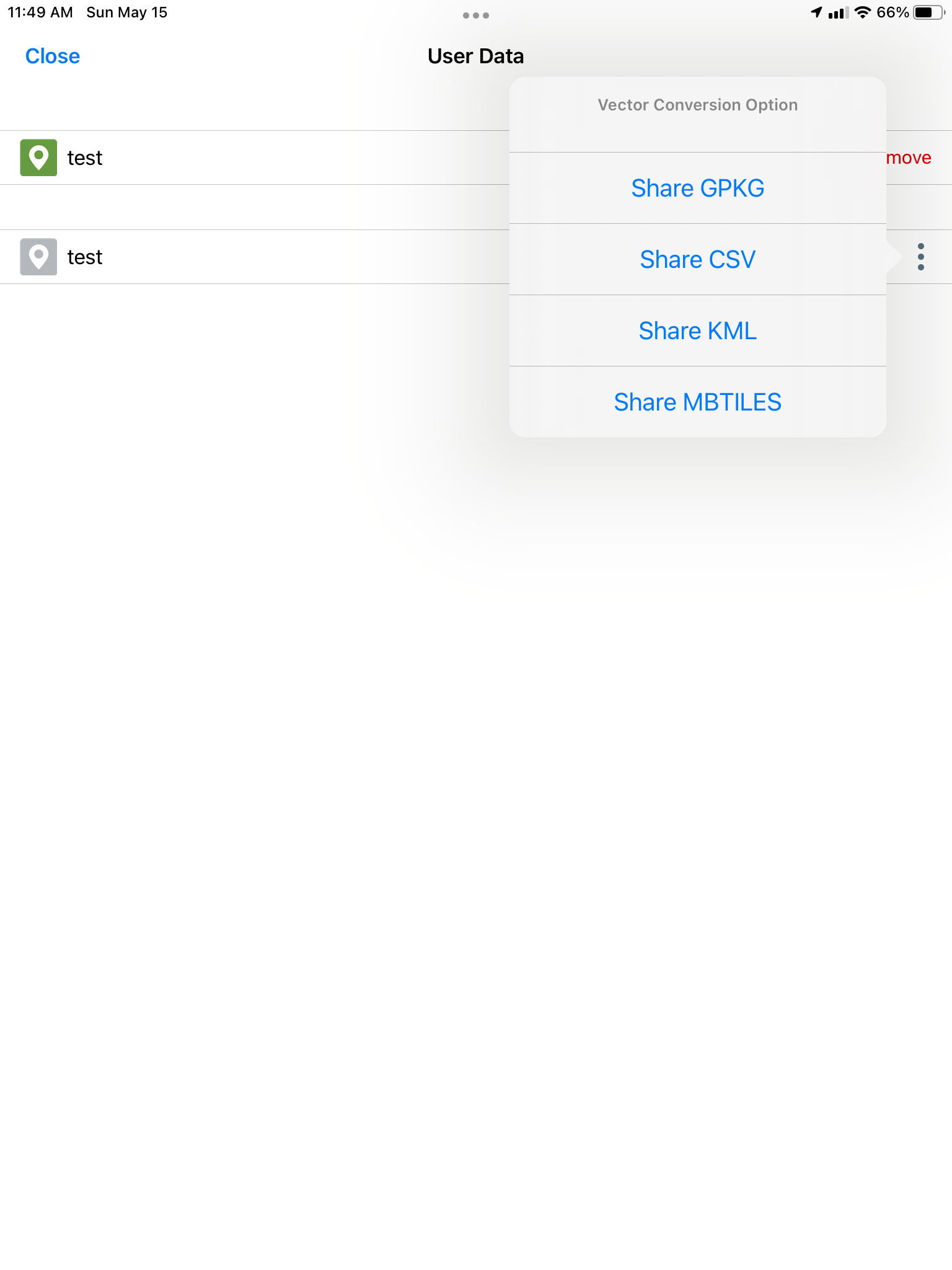
Convert Collected data to
GeoJSON, GPKG Vector Features, CSV, KML, MBTILES Vector Tiles
