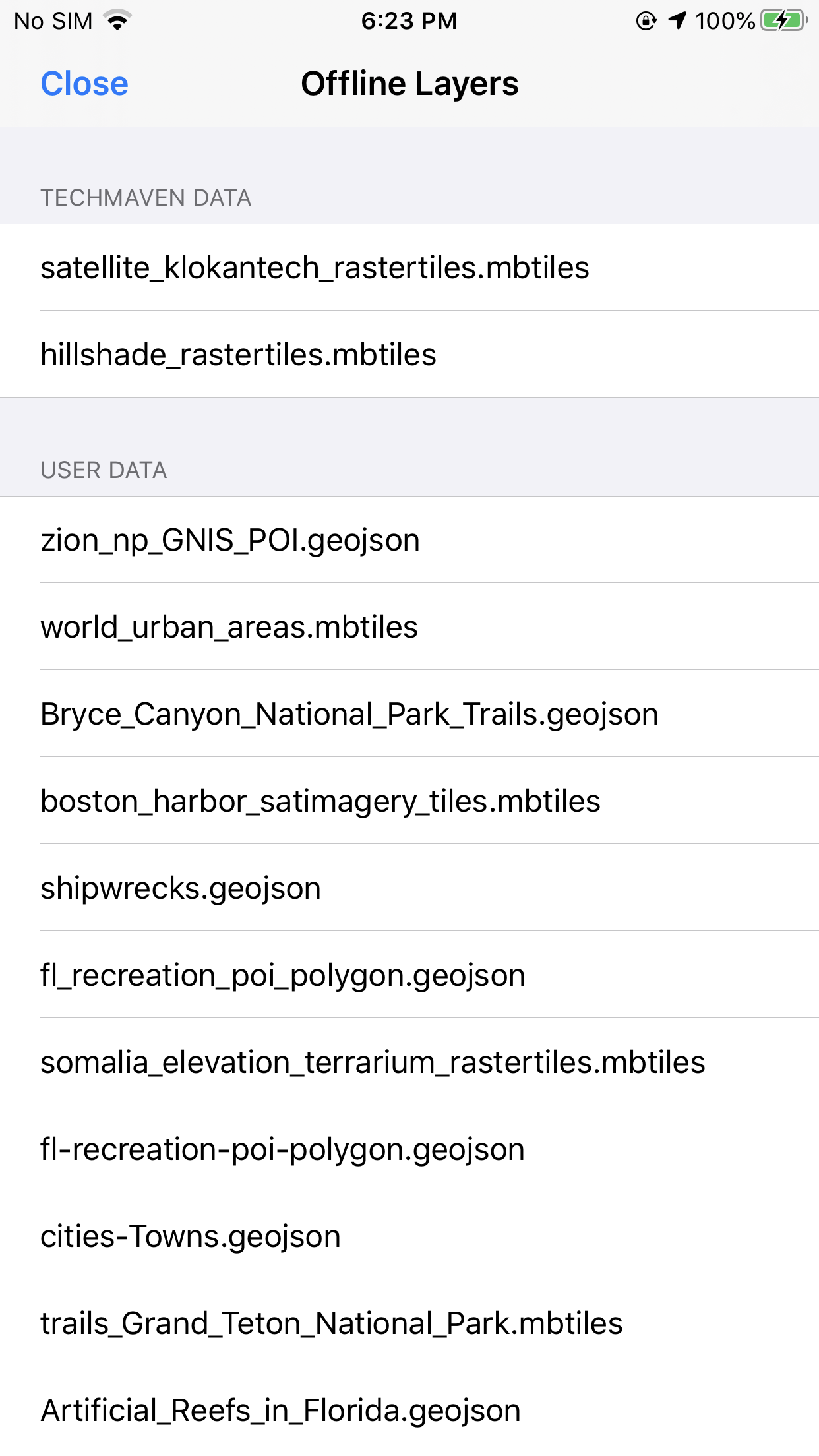
Users can add:
✓ GeoJSON (expected to be 4326 and single geometry type in one file)
✓ Raster tiles from MBTiles and GPKG
✓ Vector tiles from MBTiles and GPKG
✓ Data must be loaded into the GeoNames Map Explorer Documents Folder either transfer via itunes file transfer or using the Files app.
✓ We can’t access files outside of the app folder and it can’t be in subfolders/directories.
From the Map Screen Click Device Data bottom navigation. User Data and click to enable, If you enable multiple go to Navigation Menu and Layer Display Order to change the Order of the Data.
You want a GeoJSON file on top of a Raster Tile layer and also support other types of files:
- GeoPackage (.gpkg)
- Shapefile(.shp)
- KML
- CSV

