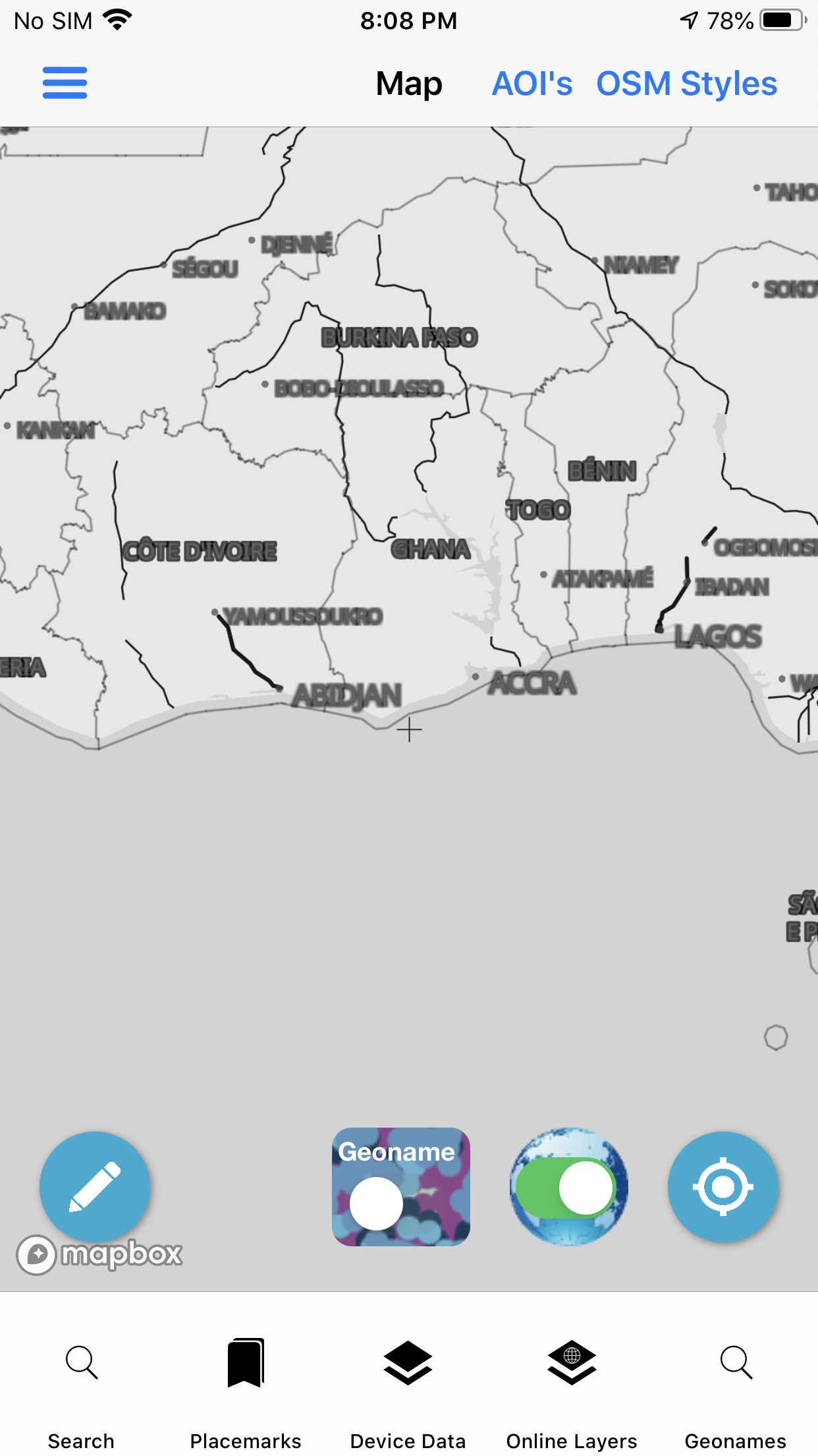
OSM -OpenStreetMap Vector Tiles
Open Street Map (OSM) Derived Data in PBF Vector Tile Format with Custom Styles
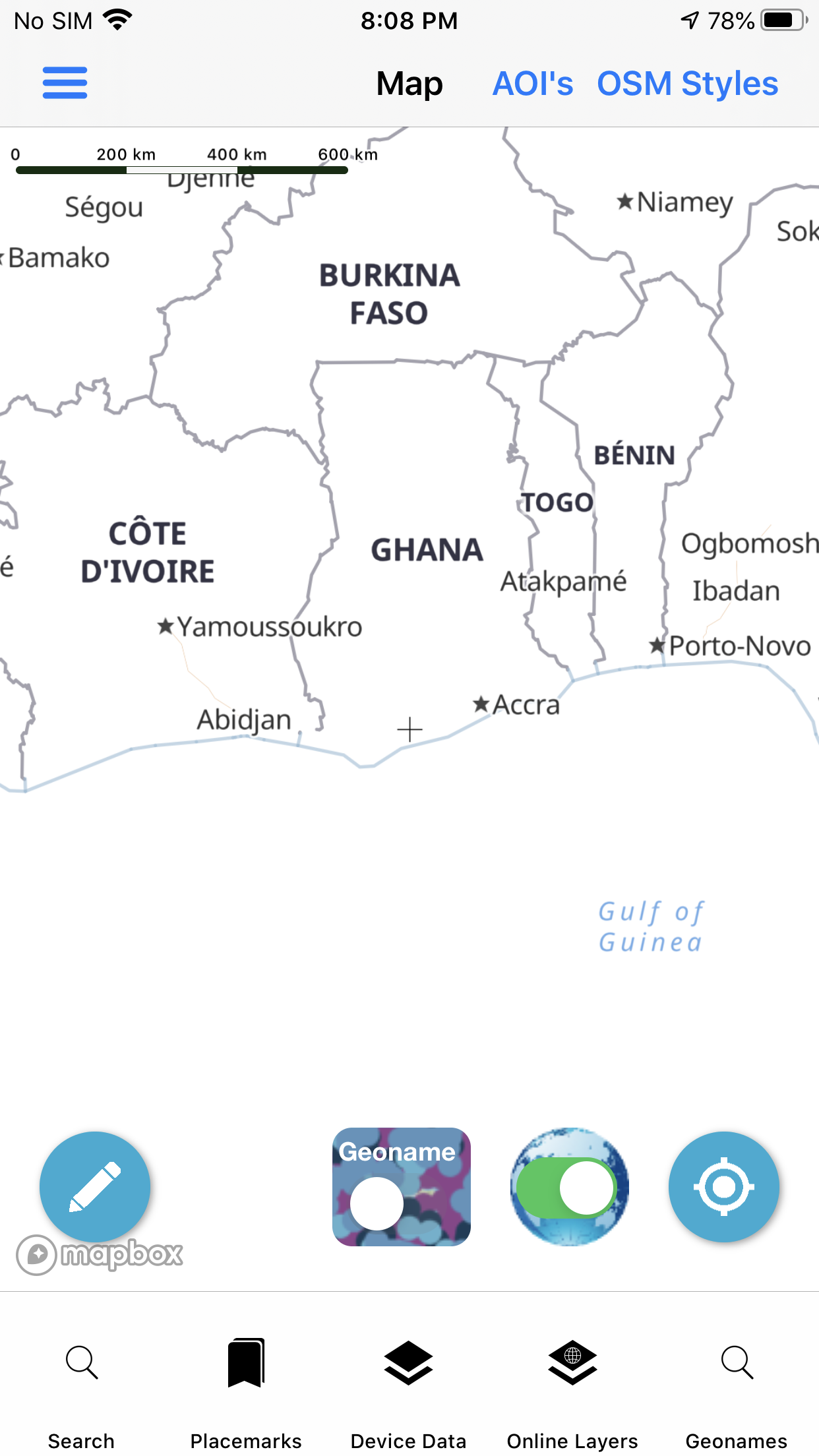
Option to add Contour Lines Vector Tiles and Hillshade Raster Tiles for a Topo/Terrain Style
Map rotate the labels show correctly
You can click on the basemap and identify properties inside the vector tiles. So even the basemap is interactive and you can get landuse categories and other attributes
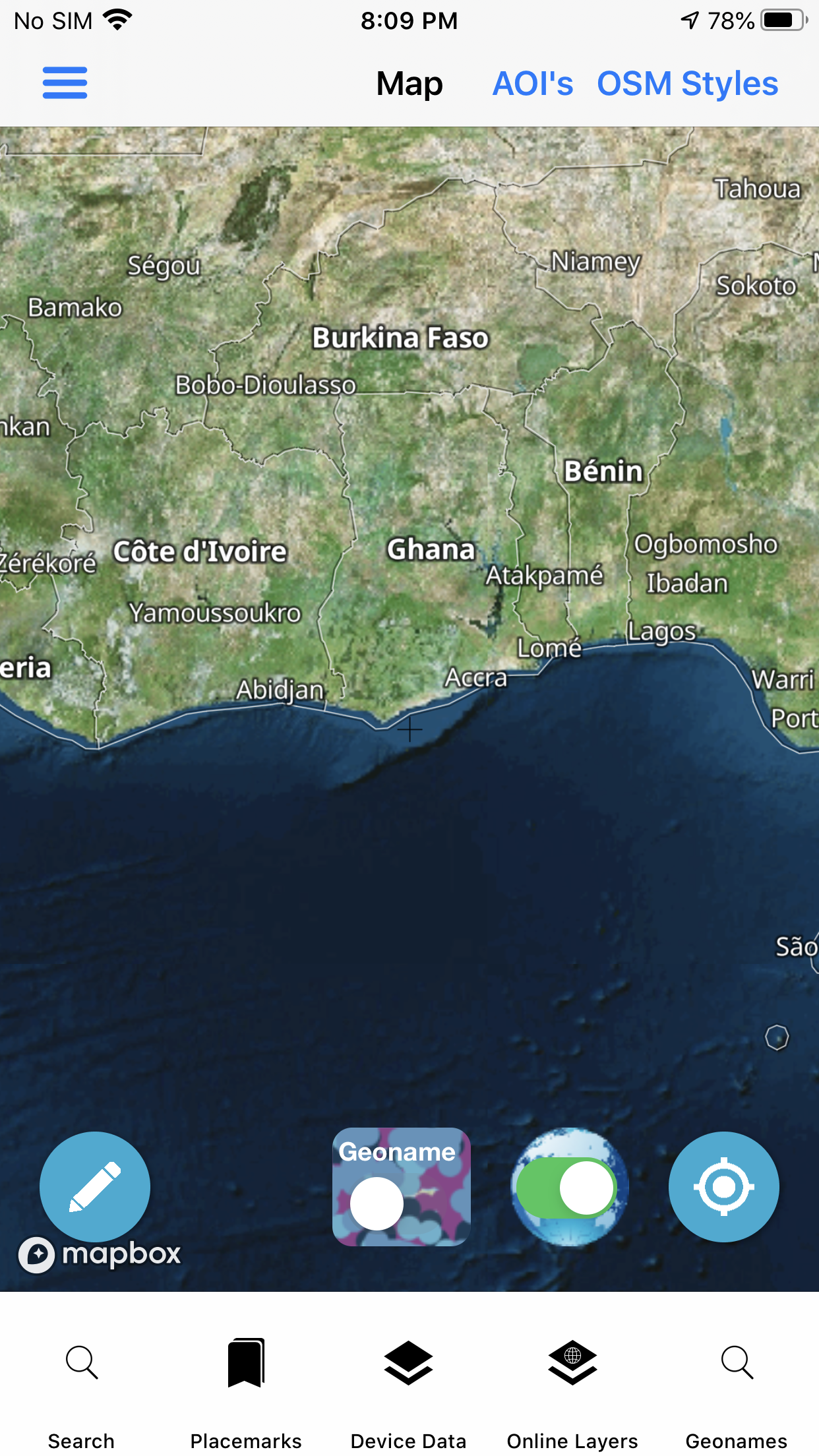
Below image is hybird showing OSM Vector Tiles with satellite raster tiles