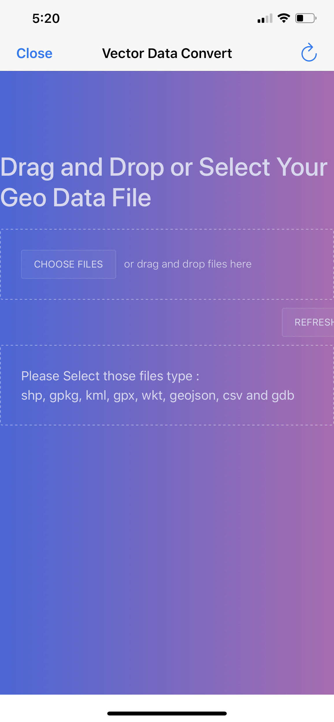
in-app GIS Vector Data Converter
This will convert from Shapefile, GPKG, KML, CSV, WKT to GeoJSON
It’s lightweight and not meant for large datasets. Please convert those with your desktop GIS Software ahead of time. In future versions, we will be adding a server-side conversion service.
This screen allows you to convert GIS Mapping data to GeoJSON to load onto the map – there is NOT drag and drop – Just Select the button that says Choose Files and browse to the file to convert
Convert GIS Vector data from
✓ ESRI Shapefile (4326)
✓ OGC GPKG Vector Features (4326)
✓ GPX
✓ KML
✓ CSV (with lat long in decimal degrees 4326 WGS84)
✓ GeoJSON
For Reference: ESRI ArcGIS calls it: GEOGCS[“GCS_WGS_1984”,DATUM[“D_WGS_1984”,SPHEROID[“WGS_1984”,6378137,298.257223563]],PRIMEM[“Greenwich”,0],UNIT[“Degree”,0.017453292519943295]

Note: The data should be fairly small, less than 2mb, ESRI FileGeodatabase is NOT supported, Shapefiles need to be zipped, Source data must be in 4326, Unprojected Geographic World Geodetic System 1984
