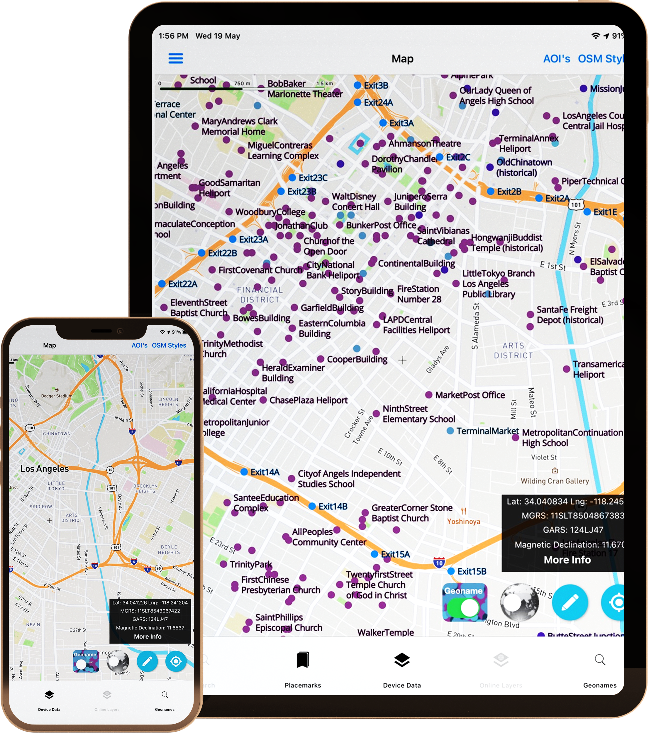
GeoNames Points of Interest and Place Names Data from the US Government
We update the data regularly and build optimized offline capable formats and load it into our custom database and API1
The US Government (NGA- Foreign GeoNames and USGS-Domestic GNIS) produces a dataset called GeoNames/ Geographic Names Information Database that includes Place Names, point of interest features, and geographic features.
Tech Maven Geospatial processes this data and optimizes it for use on mobile devices and makes it available for use offline. We update this data monthly.
We divide up the data into nine categories:
• Administrative
• Populated Places
• Locality Area
• Streets Highways Roads Railroads
• Hysography – Land features
• Vegetation
• Hydrographic – Water features
• Undersea
• Spot
This database has over 18 Million points!
GeoNames can be turned off – click the toggle – show arrow

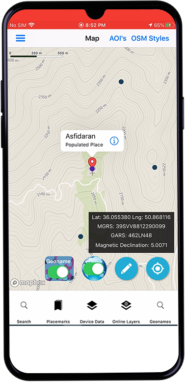
View GeoNames Information

Filter by Feature Class
9 different categories

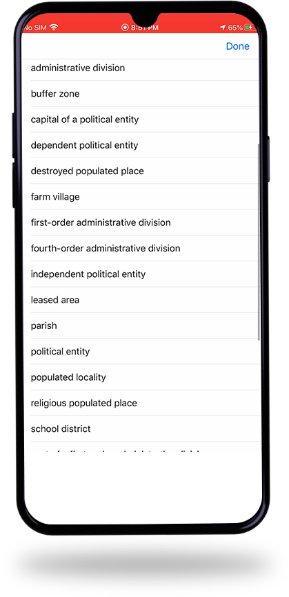
Filter by Feature Designated Lookup

View Information Box

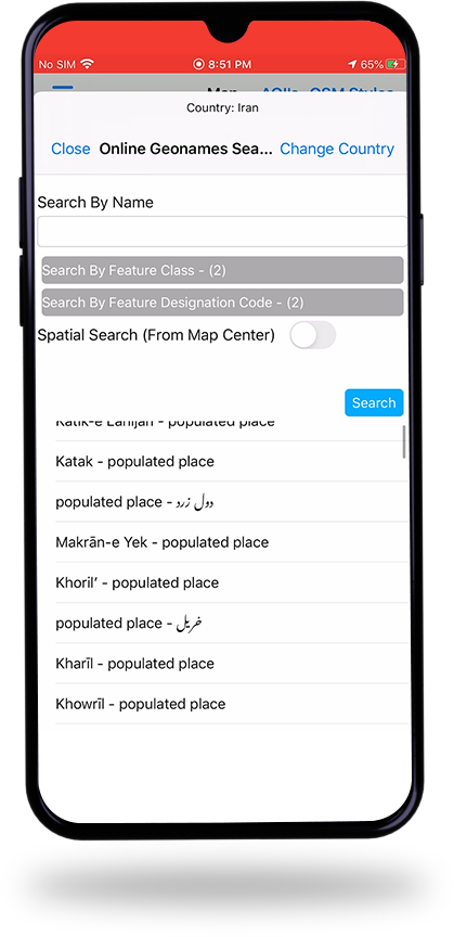
Geonames Spatial Search

Search by Filtering
by Feature Class and Feature Designated Codes (also spatial search what’s in mapview/vicinity)

Some popular Spot Feature class Geonames Feature Designated Search
Search for:
Airports, Heliports, Airfield, Airbase
Military Bases, military installation, military school
Border Crossings, Customs Checkpoint
Community Center,
Fire Station, Police Station, police post, forest station
shopping center or mall
school
mosque, synagogue, church
museum
Geonames poi (Point of Interest) Data
Notes:
For USA we do not include Feature Designated Code Lookup – we standardize the GNIS data to the 9 feature classes only
NGA has a new search application https://geonames.nga.mil/geonames/GeographicNamesSearch/
USGS https://edits.nationalmap.gov/apps/gaz-domestic/public/search/names
NGA has a new search application https://geonames.nga.mil/geonames/GeographicNamesSearch/
USGS https://edits.nationalmap.gov/apps/gaz-domestic/public/search/names
OVERTURE MAPS PLACES
FOURSQUARE POI (Points of Interest)
Your content goes here. Edit or remove this text inline or in the module Content settings. You can also style every aspect of this content in the module Design settings and even apply custom CSS to this text in the module Advanced settings.
USGS GNIS
Your content goes here. Edit or remove this text inline or in the module Content settings. You can also style every aspect of this content in the module Design settings and even apply custom CSS to this text in the module Advanced settings.
NGA GeoNames
Access the application at:
OSM Poi (OpenStreetMap)
Your content goes here. Edit or remove this text inline or in the module Content settings. You can also style every aspect of this content in the module Design settings and even apply custom CSS to this text in the module Advanced settings.
