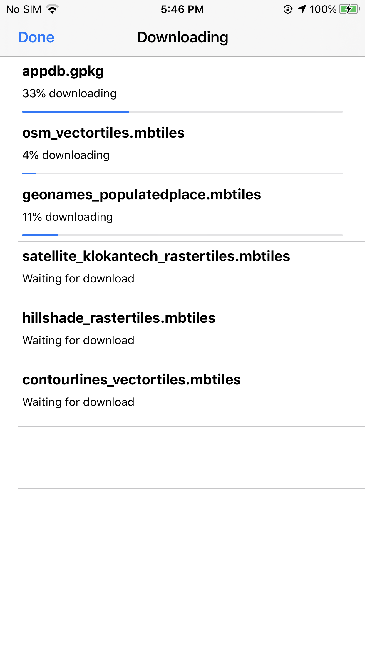
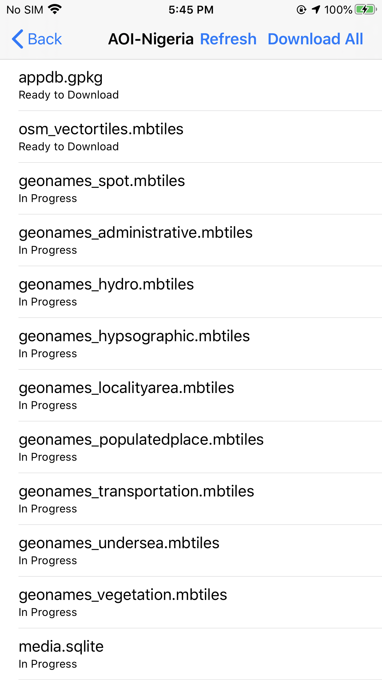
Download offline GeoNames data and basemap data for your Area of Interest
Tech Maven Geospatial has developed a highly efficient offline data preparation API called GeoRequest Area of Interest. From the Map you can define your area of interest and download required and optional datasets. We’ve developed custom dotnet tools to rapidly clip the worldwide datasets into your area. In general, all data can be ready for download in under five minutes. This depends on the size of your area and the amount of other jobs on the server. Once you’ve downloaded an area the map defaults to offline mode and uses that offline data. In addition, all searching on GeoNames is now using the local database.
What data is included?
- OSM Vector Tiles – basemap
- 9 GeoNames Feature classes vector tiles
- Main app database and audio pronunciations database
- Optional Data: Hillshade raster tiles, Contour Lines vector tiles ,Satellite Low Resolution raster tiles and GADM- Admin Boundaries


Clicking Specific Request On
✓ Download progress of the specific request will be displayed
✓ List of files to be download will also be displayed
