Defense & intelligence
Operate with place names that matter.
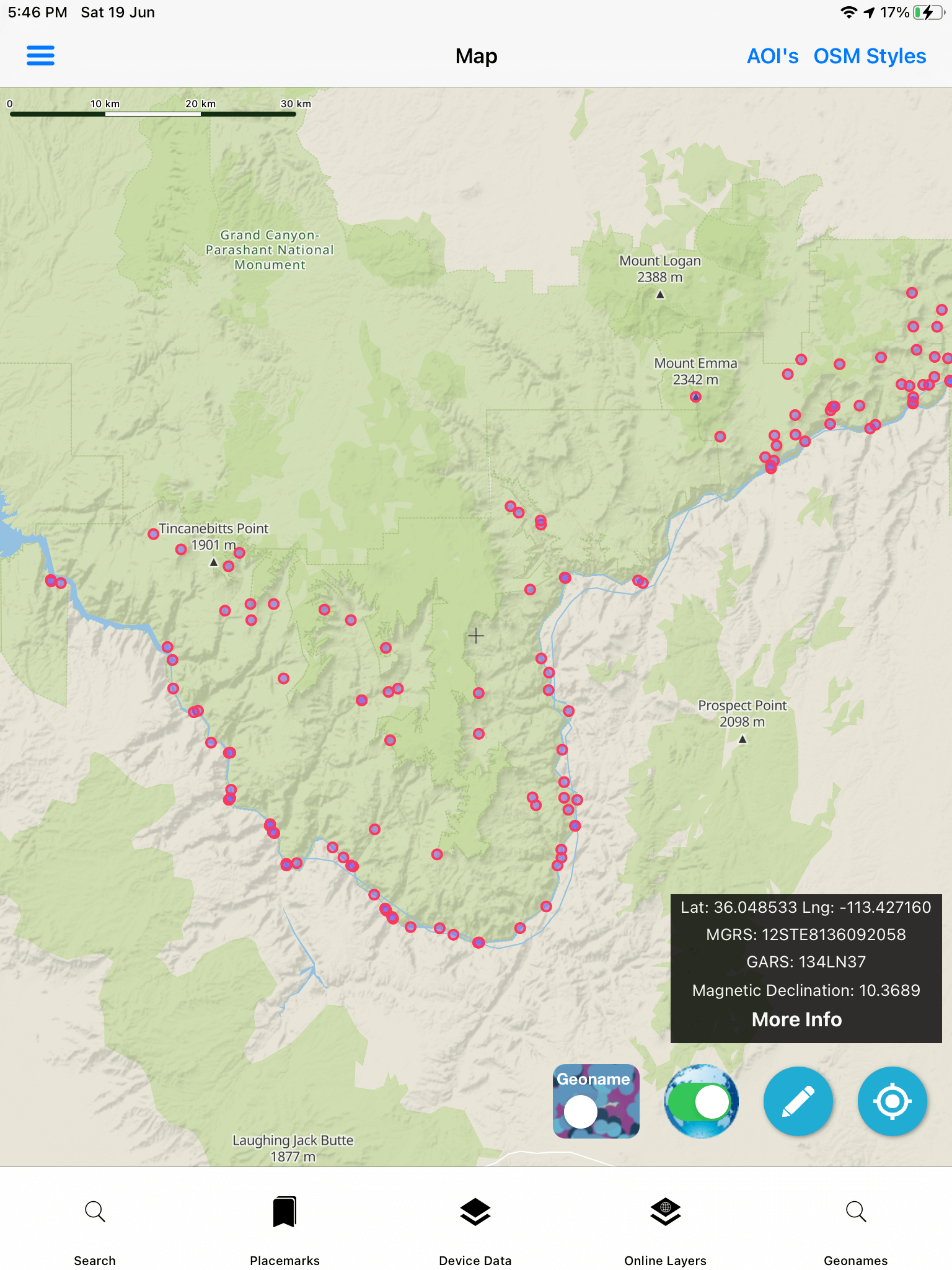
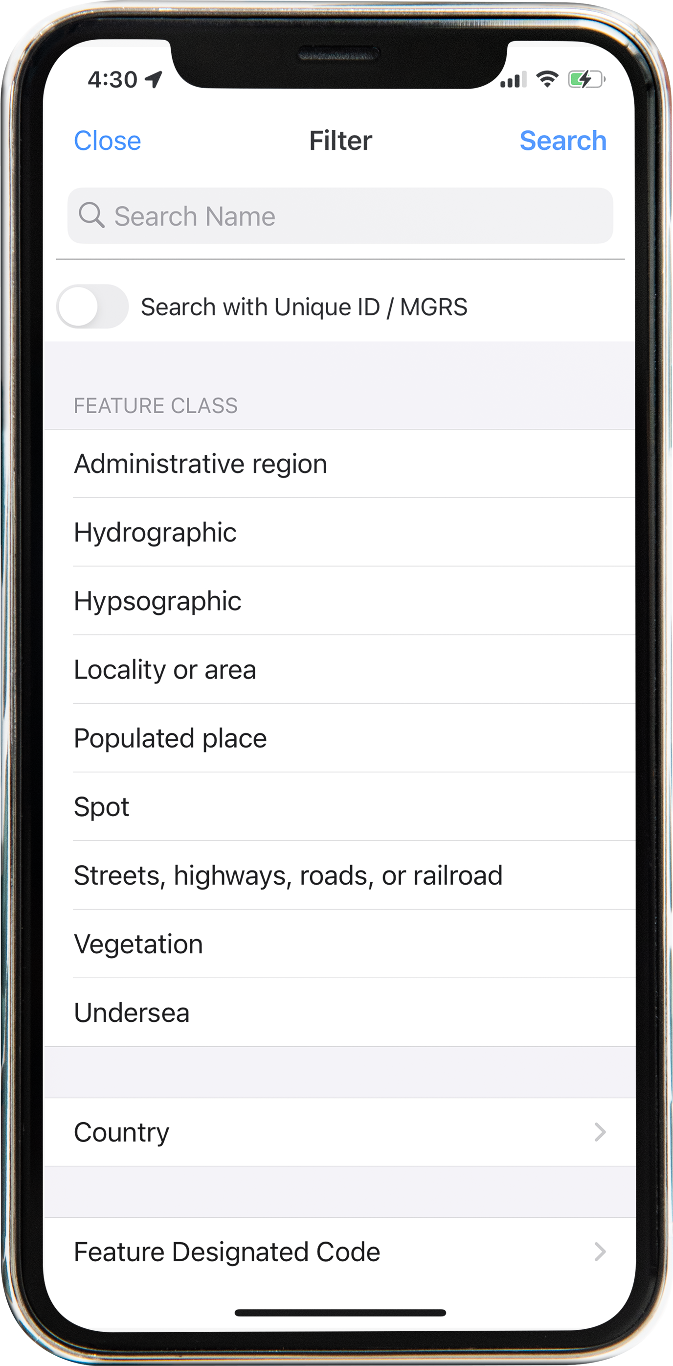
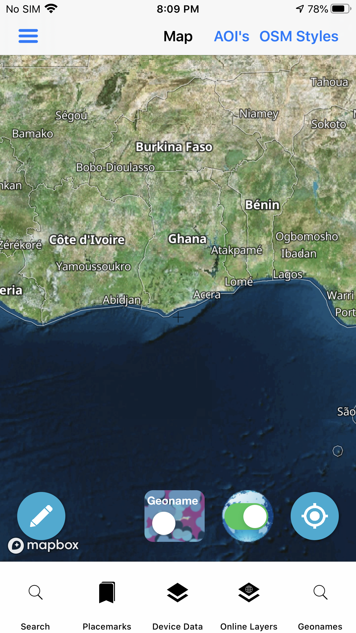
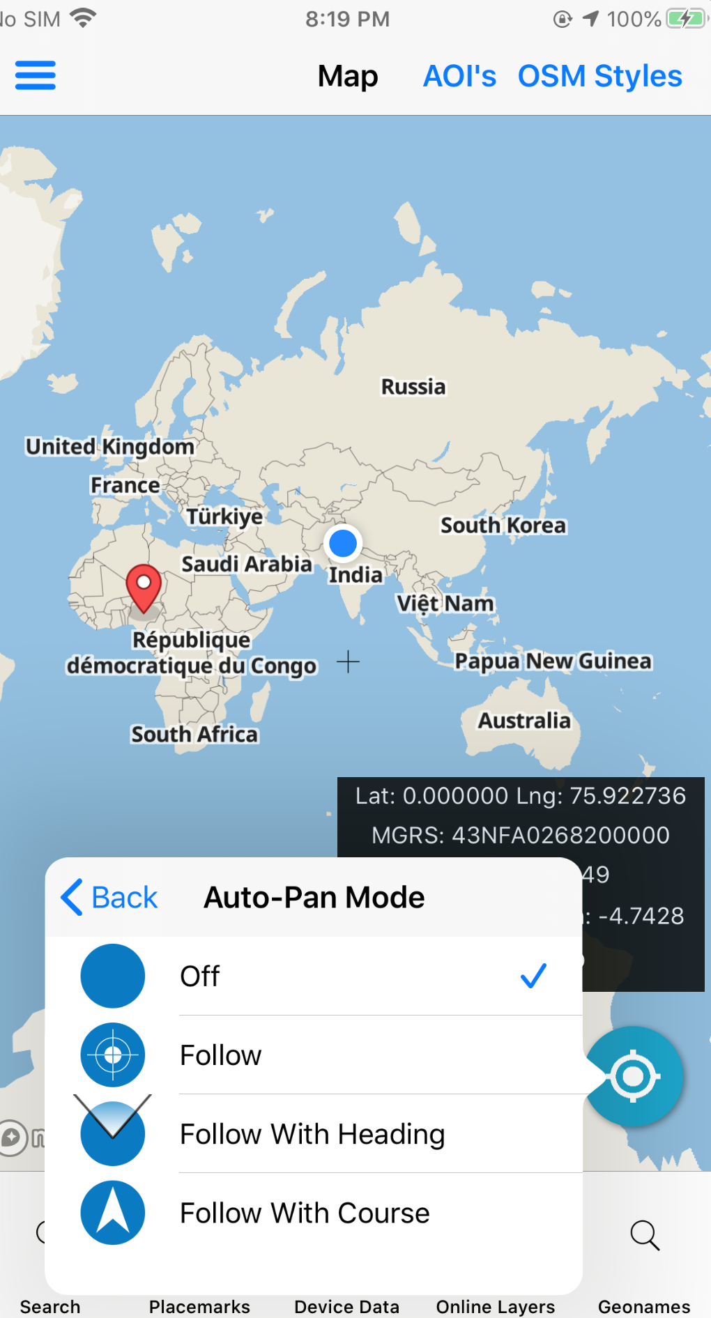
Built for defense and intelligence users who need foreign place-name authority, coordinate discipline, and offline packs when coverage is uncertain. Keep GeoNames, MGRS/grids, military symbology, and field collection on the same map you brief from.
- NGA Foreign GeoNames & USGS GNIS context
- MGRS, GRG, measure, go-to-coordinates
- APP-6 / MIL-STD-2525C symbology
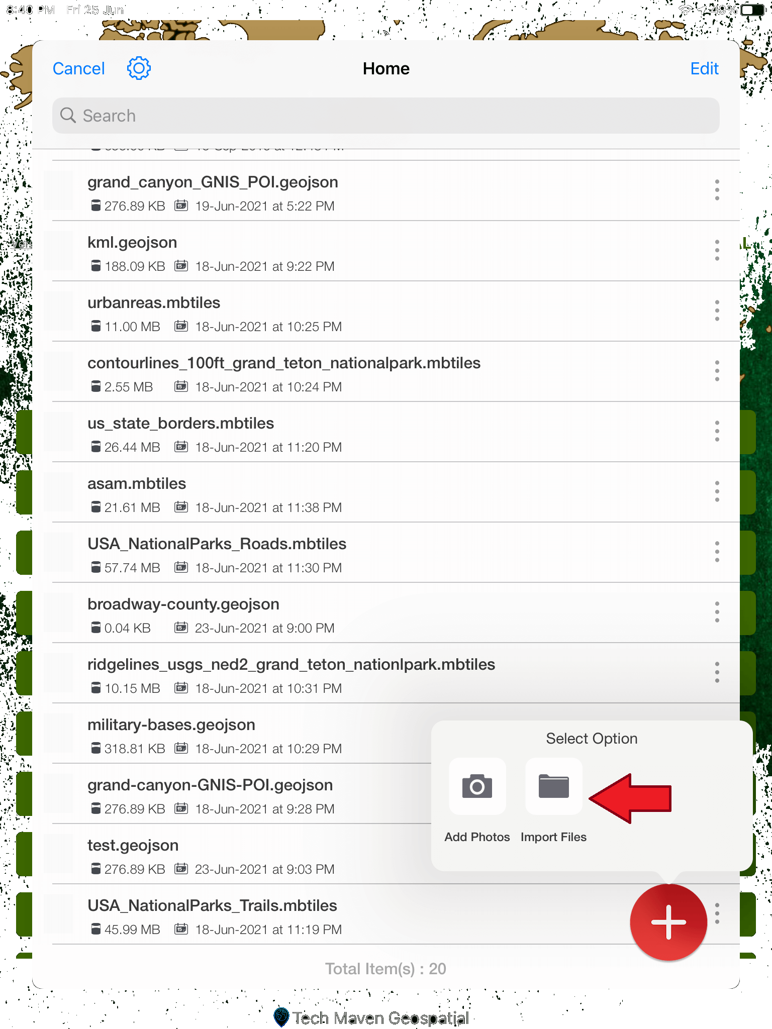
- Offline AOI downloads + local MBTILES / GPKG
- Forms & digitizing for field collection
Pair with weather layers and live location tools when the mission needs eyes on conditions as well as places.