Field workflow
Collect on the map. Switch forms. Digitize. Import.
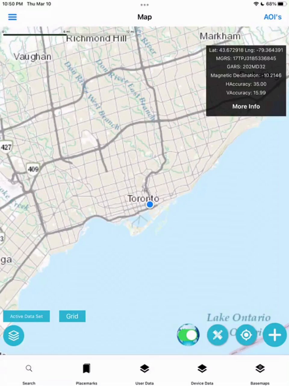
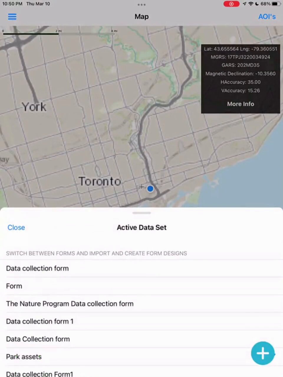
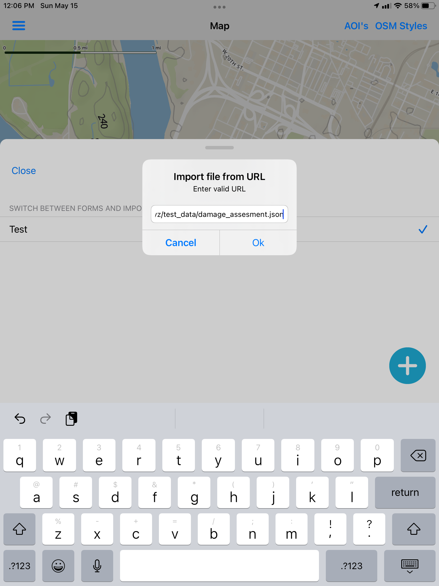
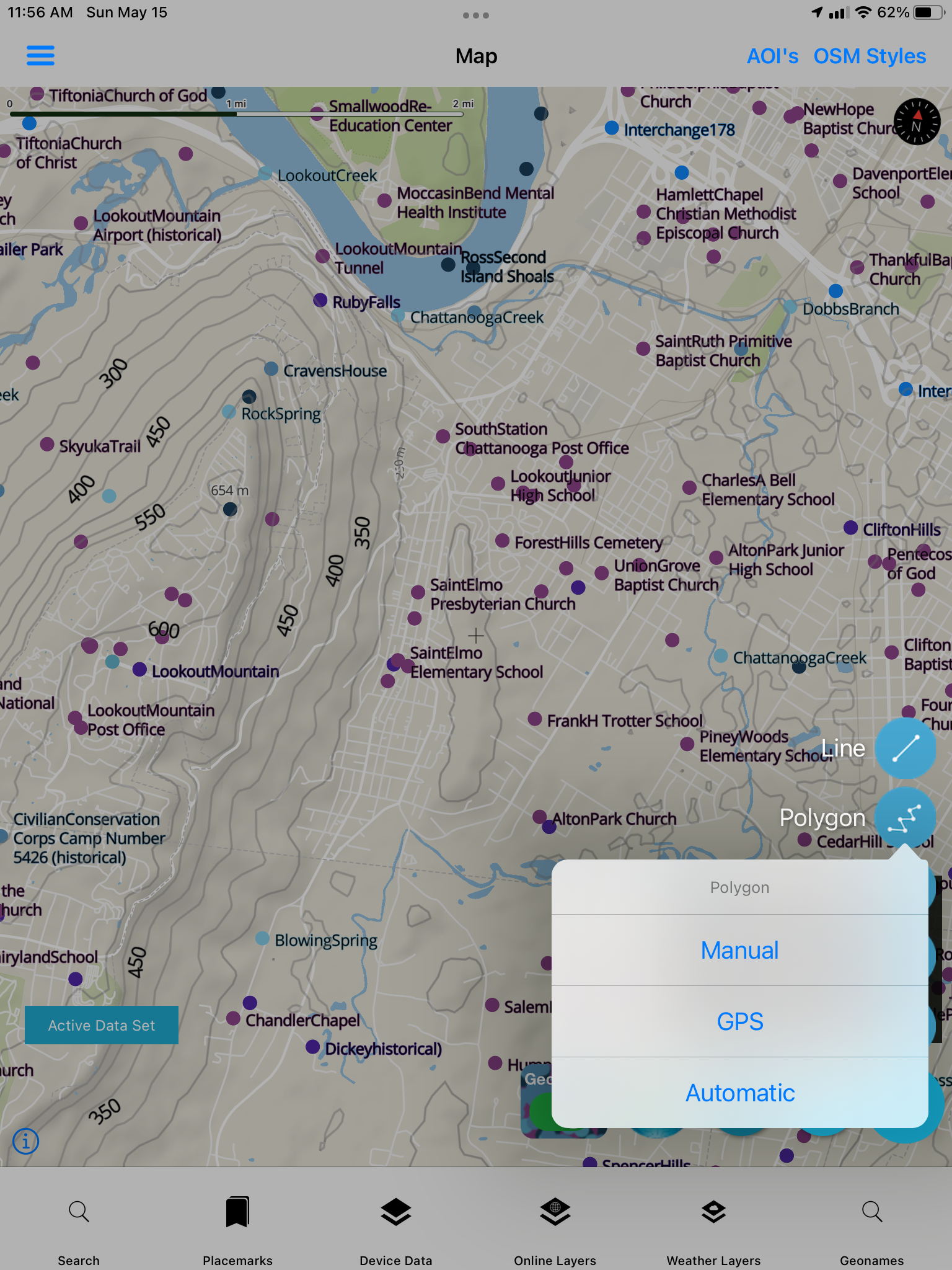
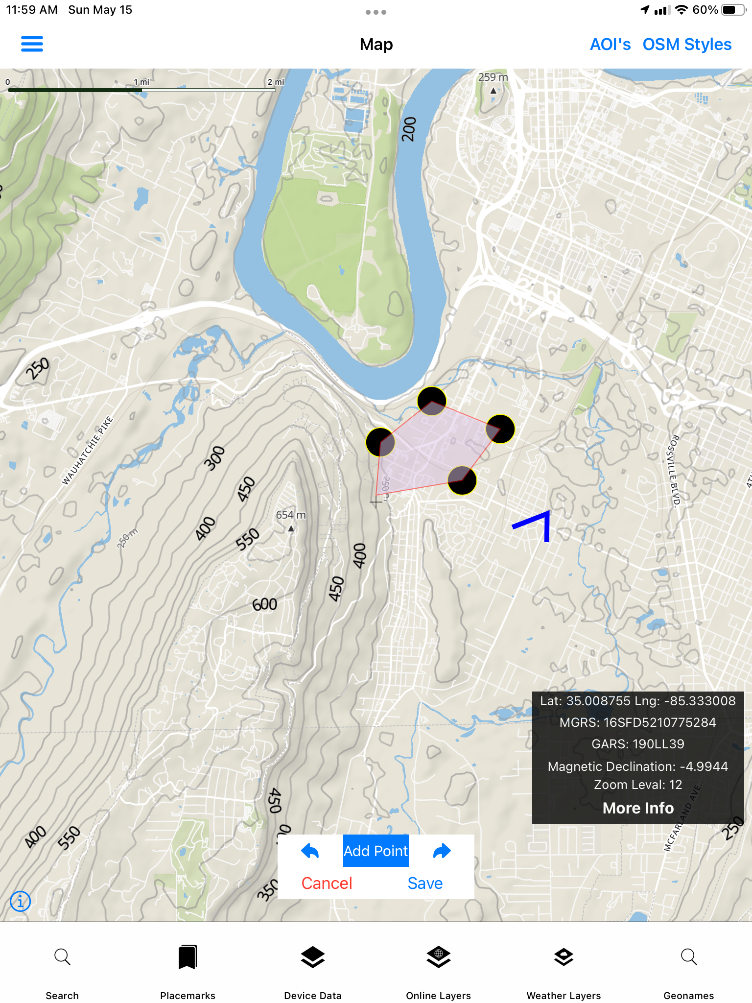
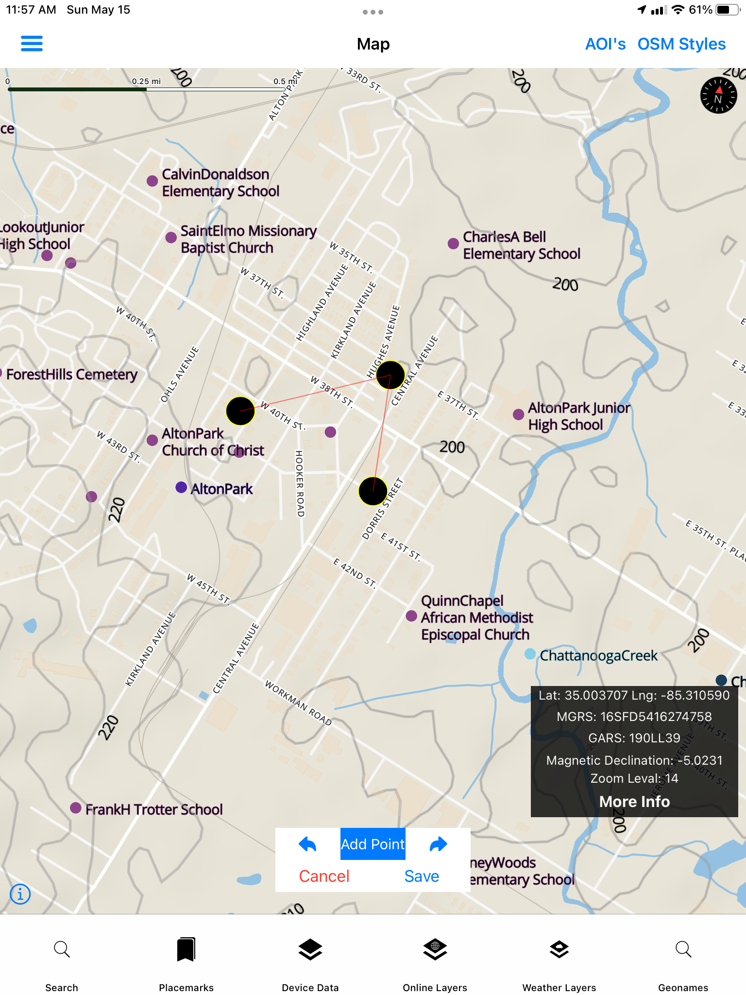
Every screen from the File Collection set — Active Data Set, digitizing, polygon modes, and URL import.
Forms
Form Designer — build a schema, share it with your team as JSON, collect offline, and export to open GIS formats. No server-side database required.
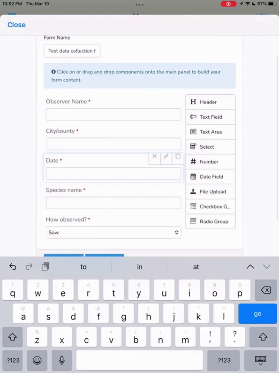
Flexible Form designer and adhoc in-app form building, or via mapdata.xyz form generator.
Data can be collected via GNSS/GPS or drawing/digitizing (Manual Mode) — see Vector Data Digitizing and Editing.
GeoJSON · GPKG Vector Features · CSV · KML · MBTILES Vector Tiles
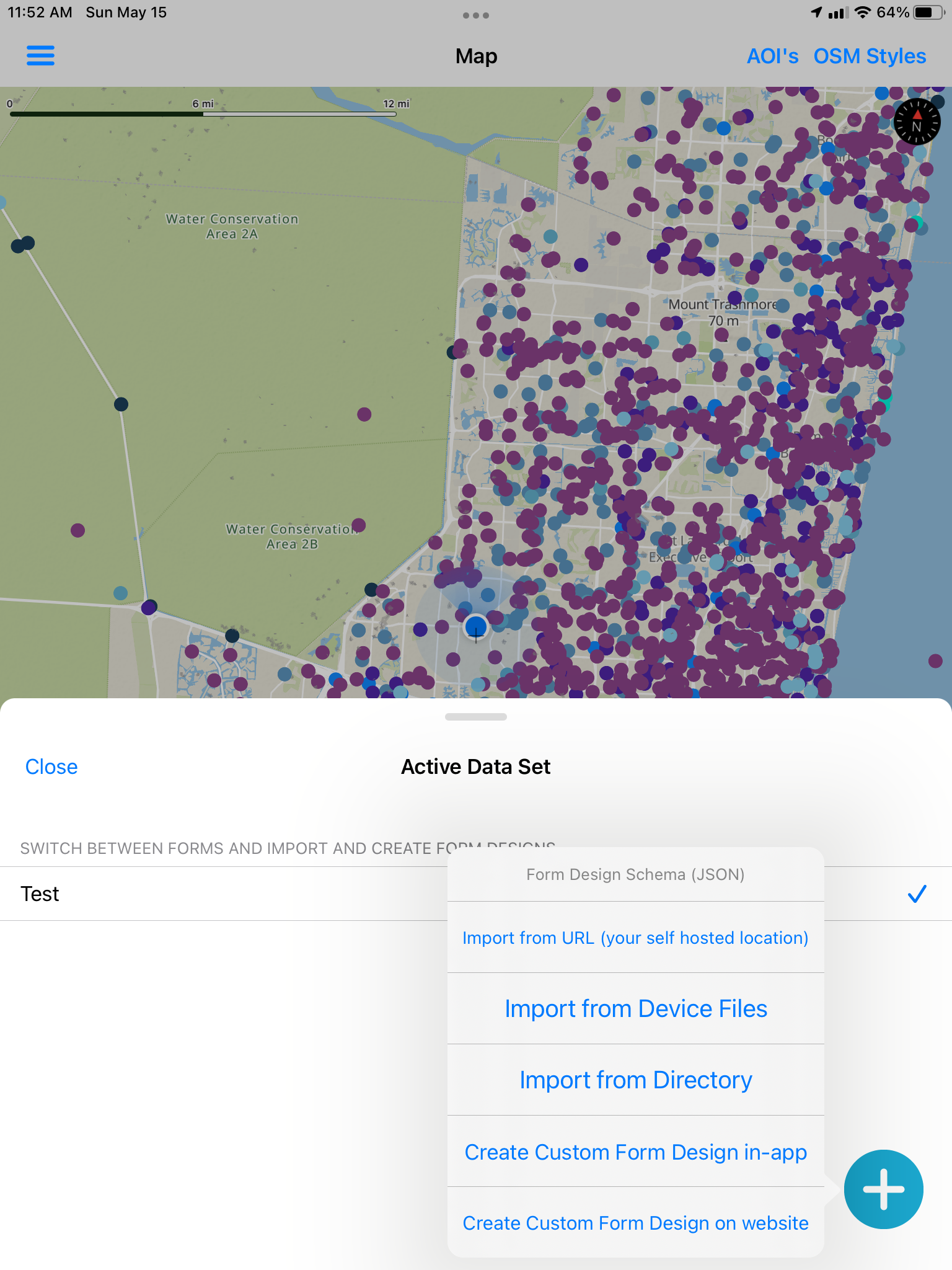
Build in-app or on the web
Create custom form designs on-device or on the website, then switch Active Data Set so every operator on the team collects against the same JSON Schema — Observer Name, species, dates, selects, file upload, and more.
See On-device AI for Gemma-assisted form design.
Photos & attributes
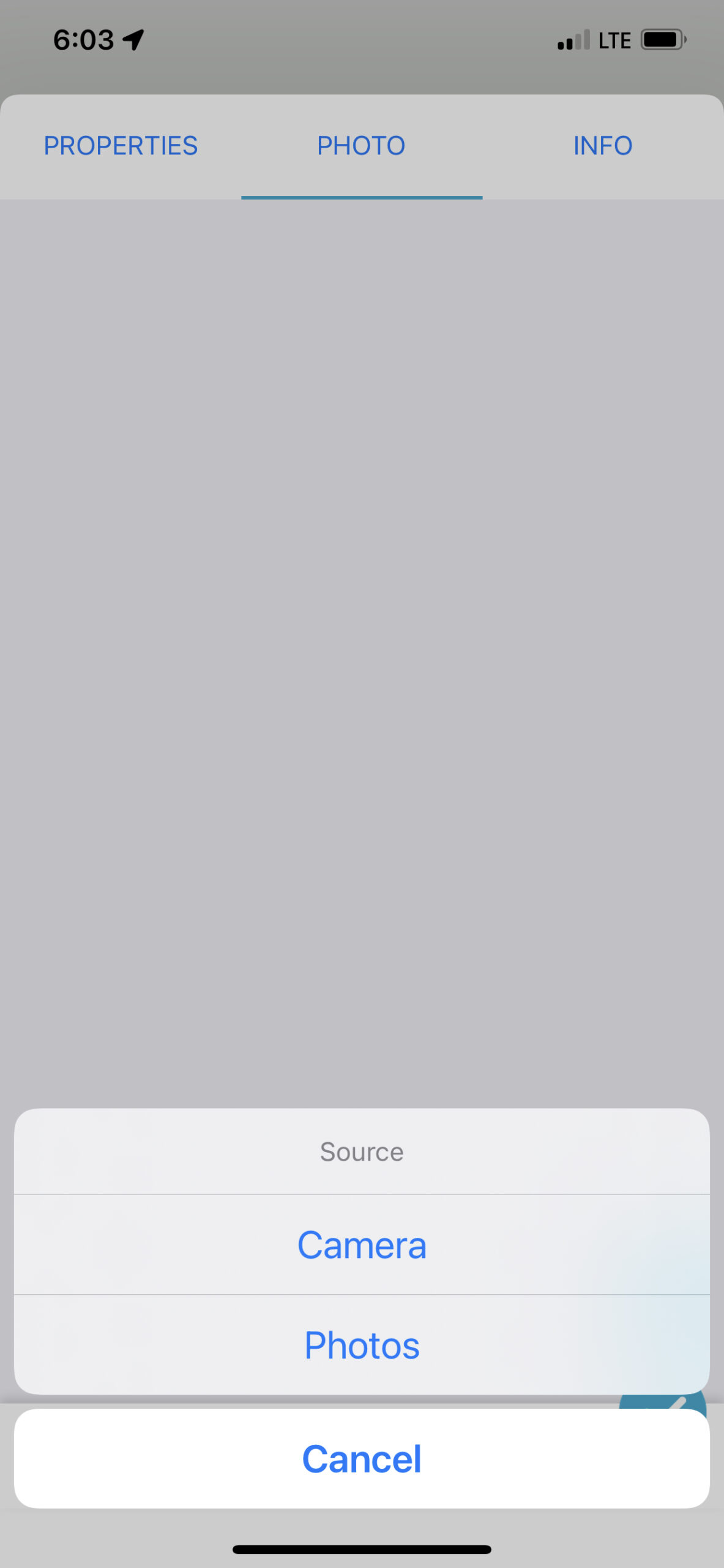
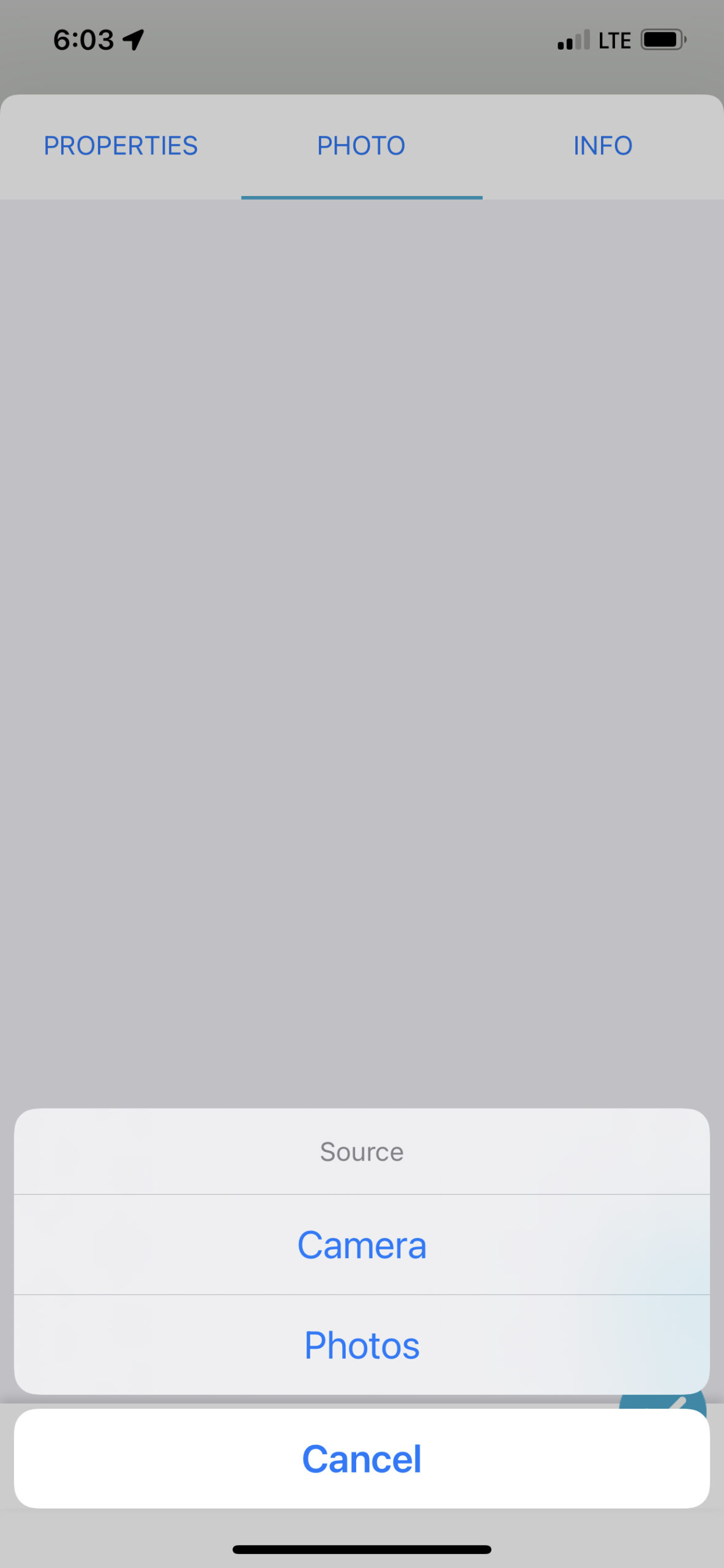
Forms support photo fields — pick Camera or Photos when you fill a record in the field. Keep evidence tied to the same GeoJSON / GPKG feature you just digitized.
Open formats
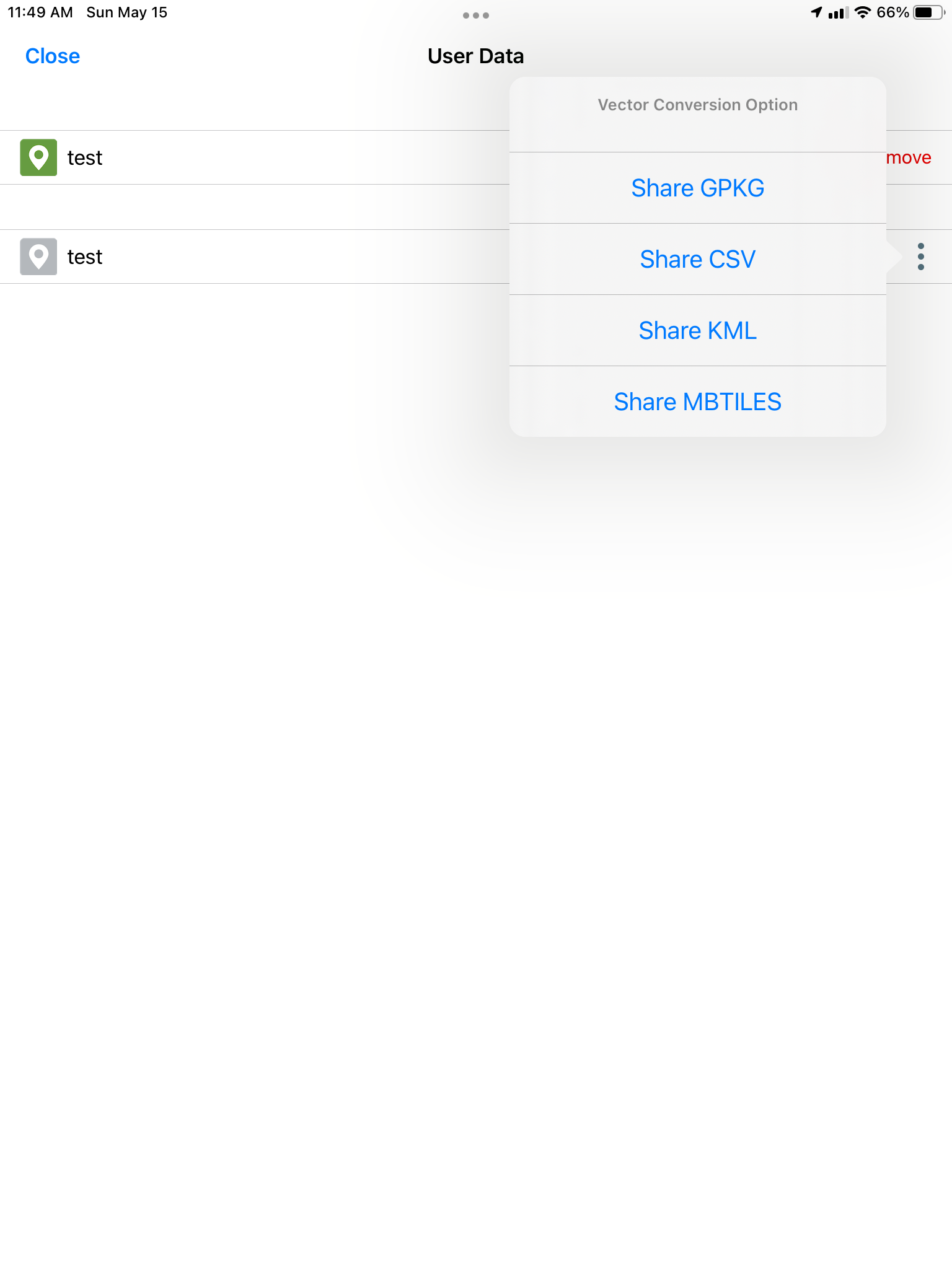
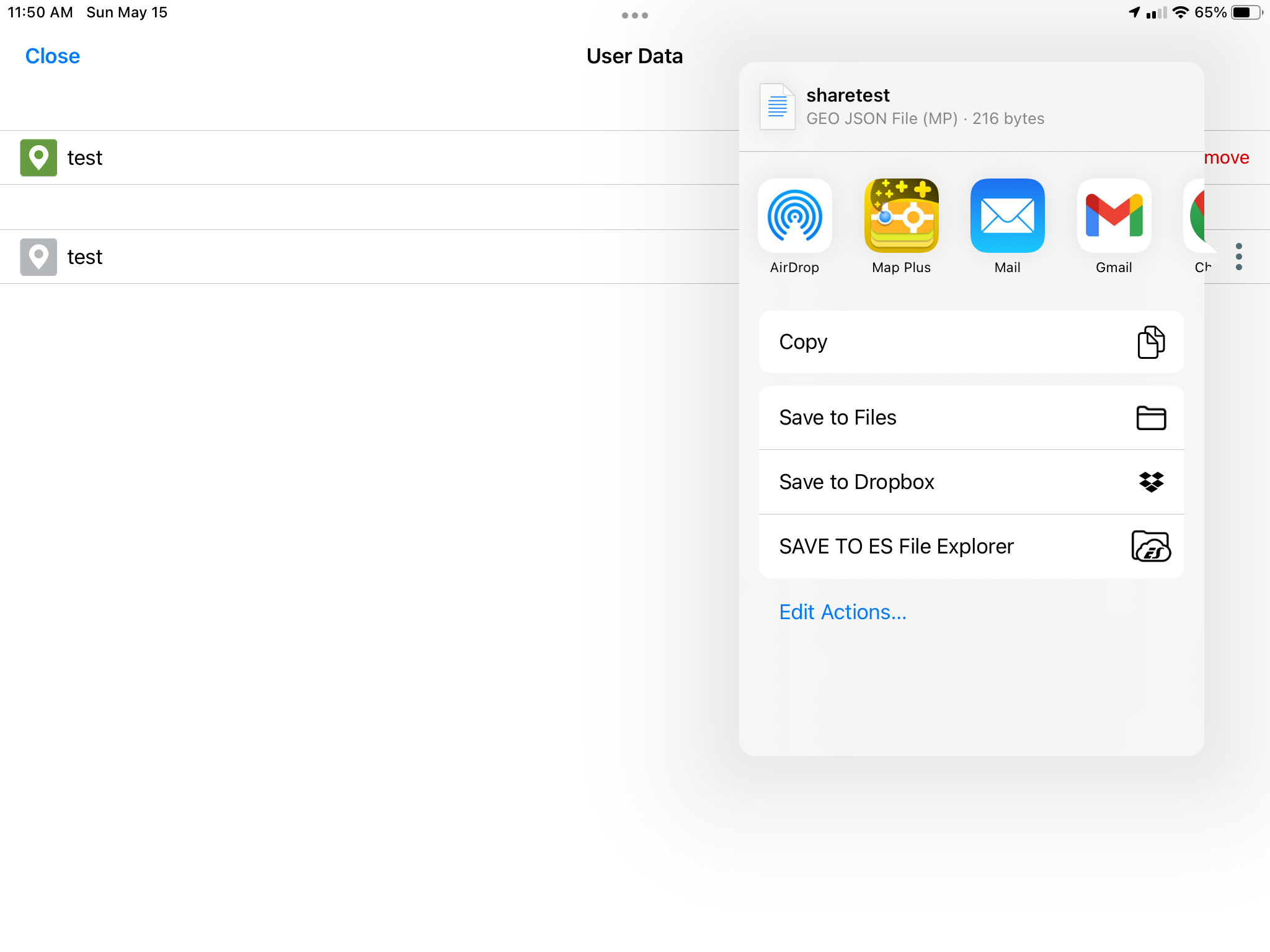
From User Data, convert and share packages as GPKG, CSV, KML, or MBTILES — or hand off GeoJSON through the system share sheet to Files, Dropbox, Mail, and other apps.
Field workflow
Every screen from the File Collection set — Active Data Set, digitizing, polygon modes, and URL import.
Full-resolution set