Mission support

Weather on the map

Forecast, conditions, and weather layers where you operate — powered by OpenWeatherMap, shown beside the same AOI you already brief on.

OpenWeatherMap

Know the sky before you move.

GeoNames Map Explorer pulls sunrise/sunset, timezone, elevation, country code, and related context from OpenWeatherMap so operators get more than a temperature number. Pair that with forecast/conditions and map raster weather layers when the mission needs eyes on precipitation, cloud, or wind over the AOI.

  • Weather forecast & current conditions
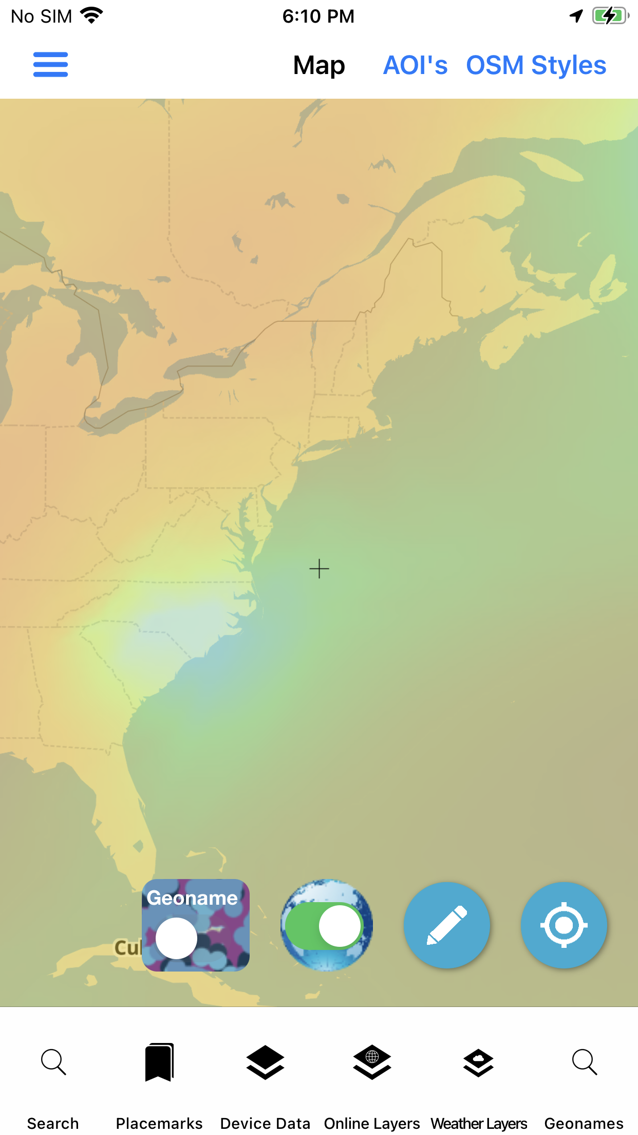
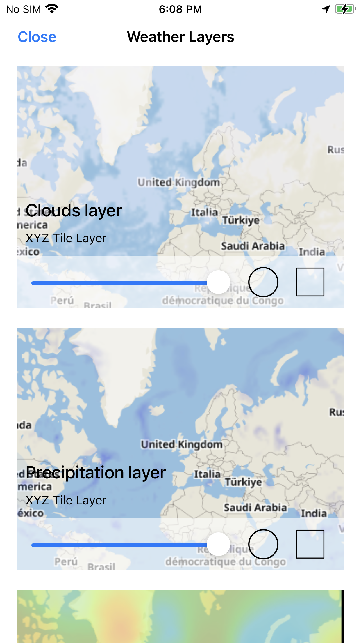
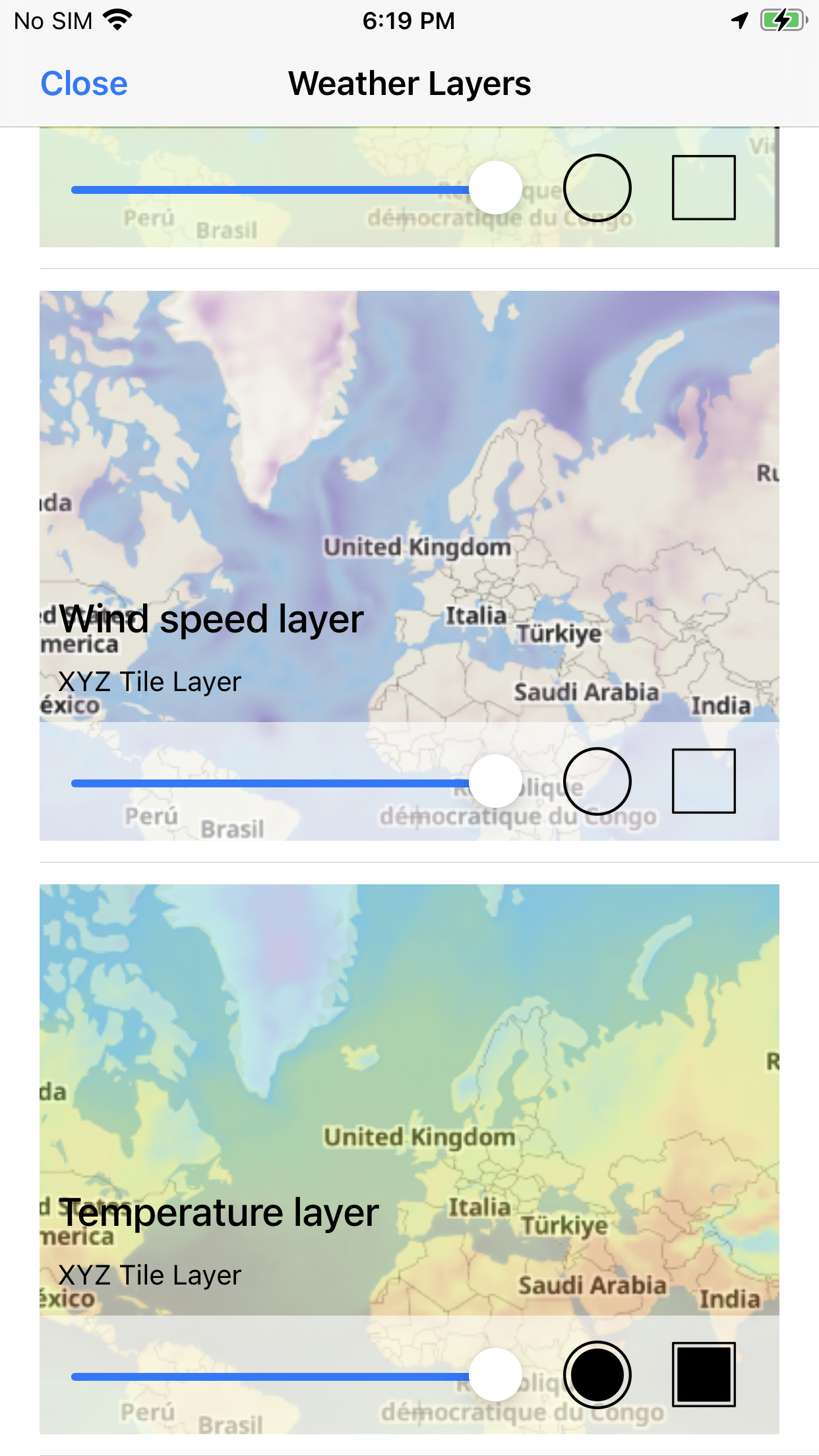
  • Raster weather tiles overlaid on the map
  • Sunrise / sunset, timezone, elevation, country code
  • Requires internet access for live weather services

Tech Maven maintains a paid OpenWeatherMap account so these services stay available inside the app — no separate weather login for the end user.
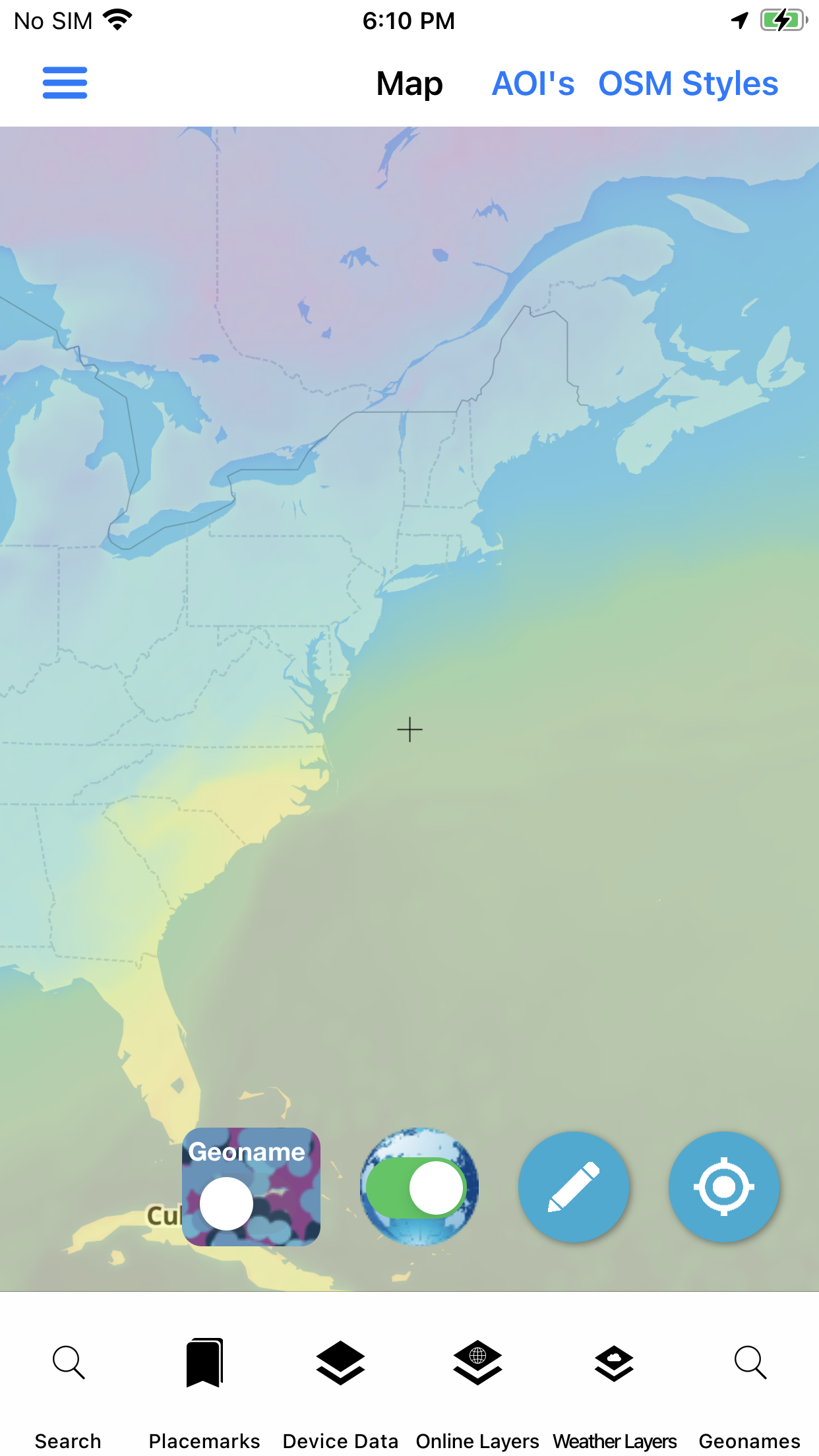
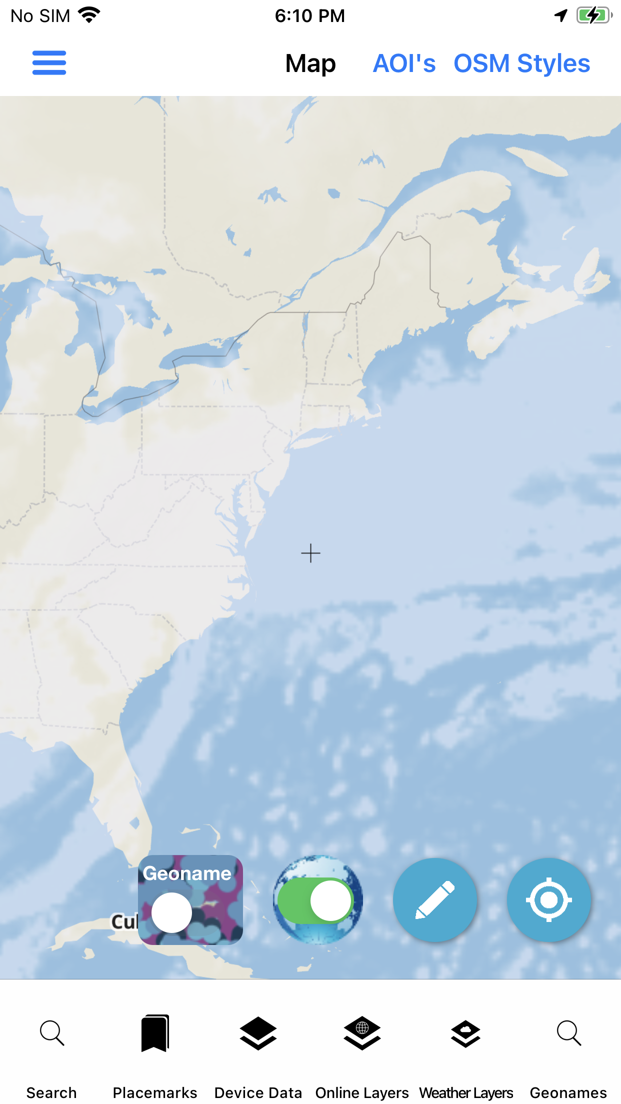
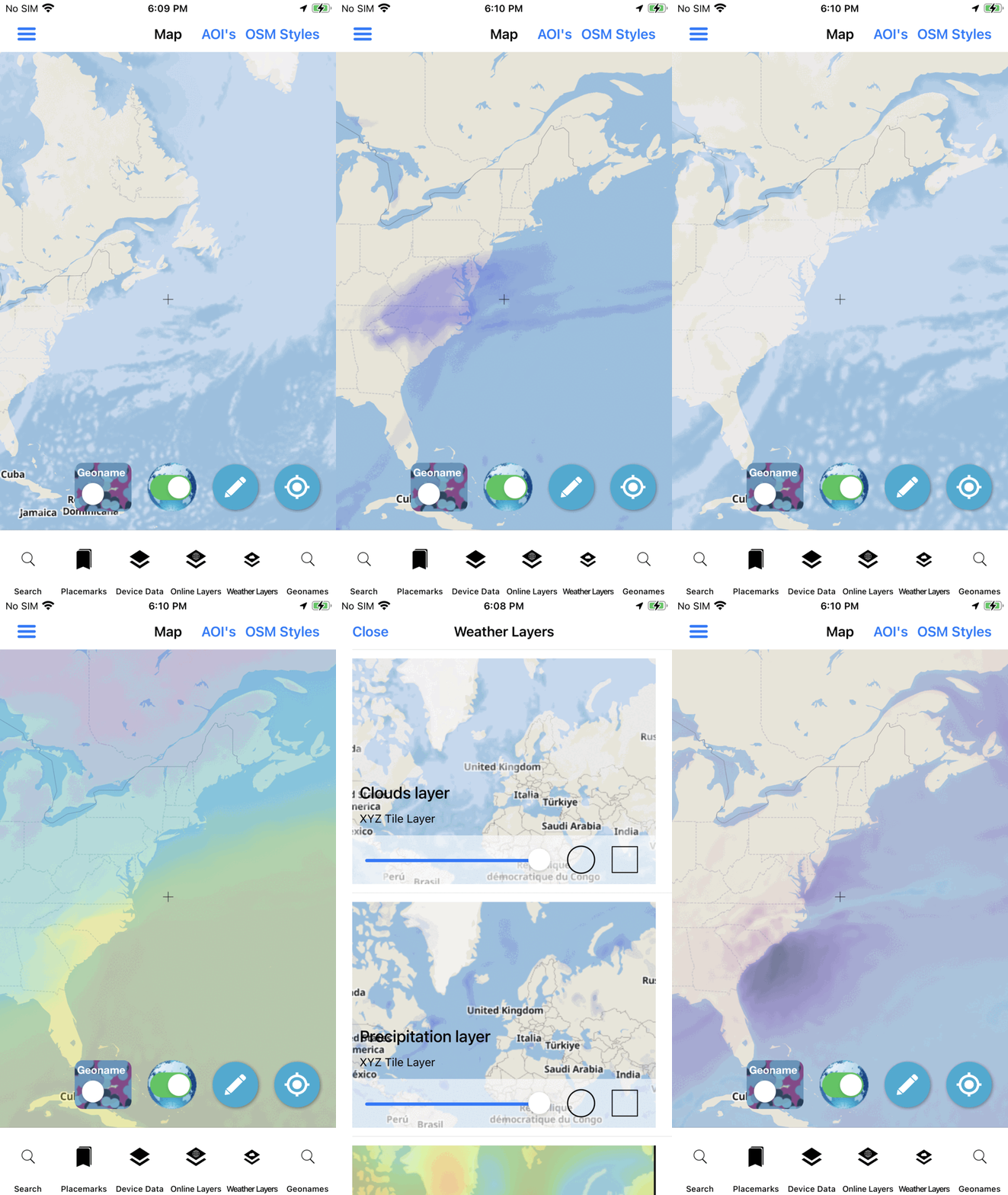
Weather layers on the map
Weather layers · on the map

Conditions detail

Sunrise, wind, pressure — at a glance.

Tap a place and read the OpenWeatherMap detail sheet: temperature in °C/°F, sunrise and sunset, cloud coverage, humidity, pressure, wind speed, and direction — the same fields operators check before a move.

Weather detail · crisp UI recreation

In the field

Forecast, layers, and context — not a single screen.

The same weather stack the live product ships: conditions, overlays, and supporting meta for the AOI.

Map layers

Put weather on the basemap.

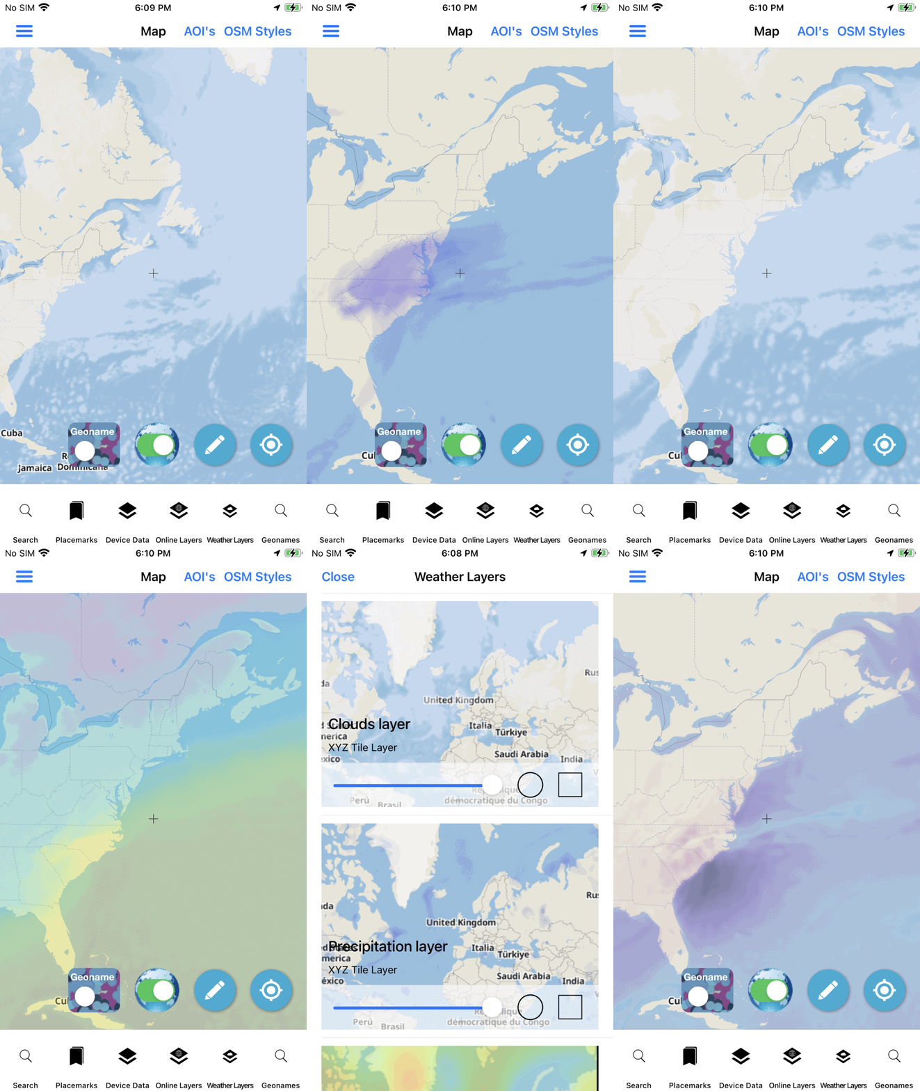
When conditions change across a ridge line or coastline, static briefings fall behind. Weather raster tiles let you paint the current picture onto the same map you already use for GeoNames, placemarks, and AOI packages — then pan and zoom with the rest of the stack.

  • Overlay weather rasters with your online / offline basemap
  • Keep GeoNames and mission graphics in the same viewport
  • Use when connectivity allows — clearly marked as internet-required
Weather map animation
Weather layers · live product demo

Deploy

Weather that sits with your map stack.

Evaluate on the App Store, or ask about custom builds that keep weather next to your agency layers and AOI rules.

Not affiliated with the U.S. Government (NGA or USGS). Weather data via OpenWeatherMap. Source: weather.