Screens
APP6 builder and MGRS / filter views


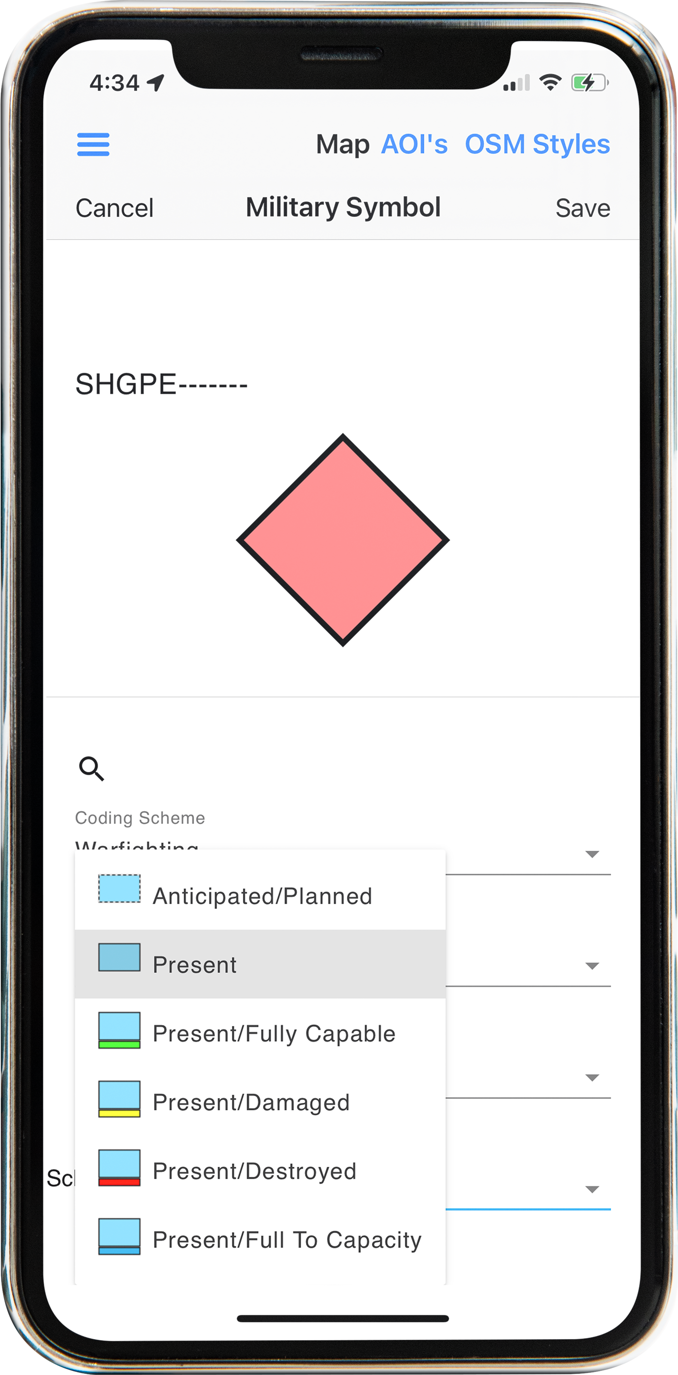
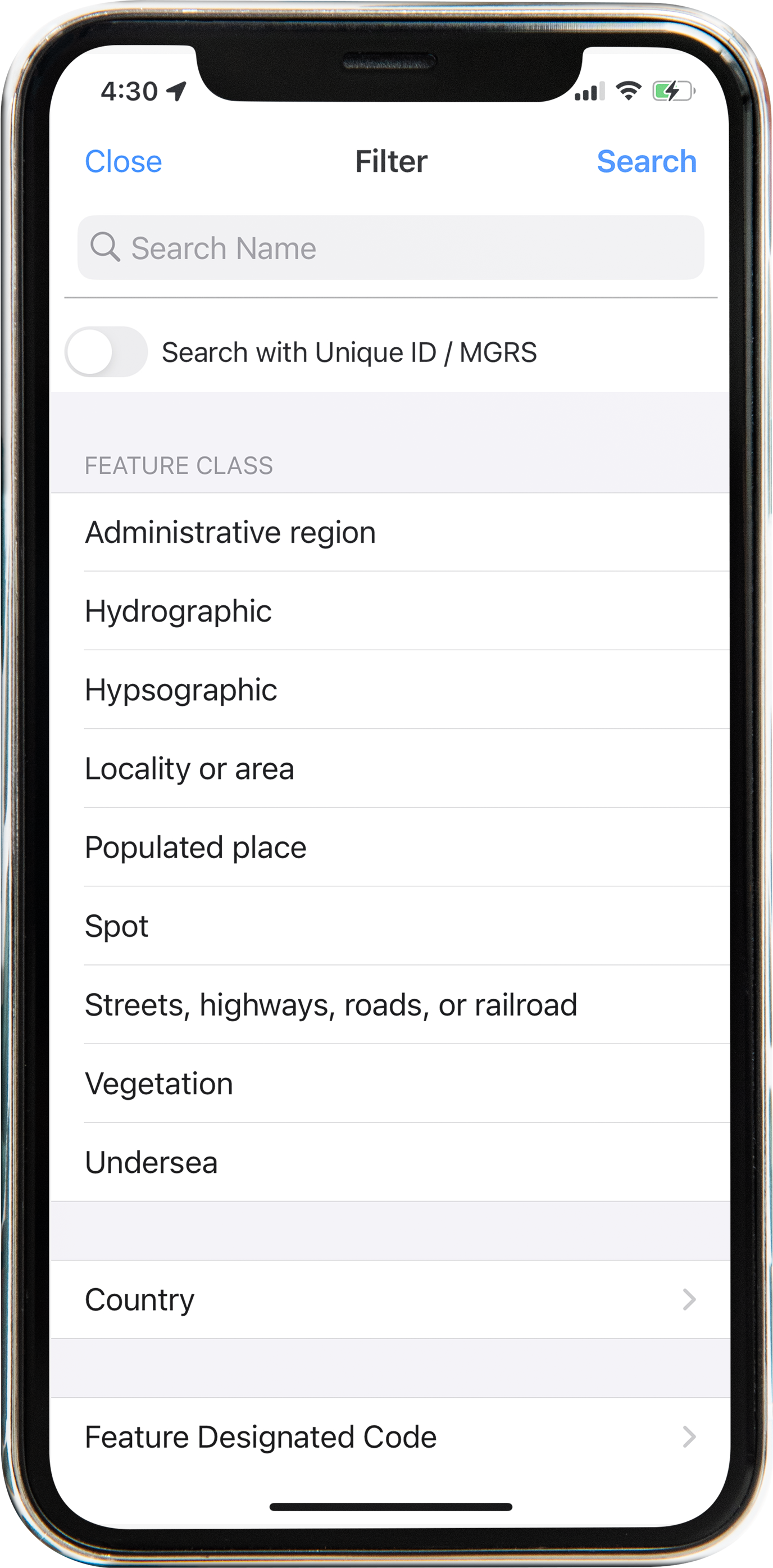
APP6 / MIL-STD-2525C
Create, display, and share NATO APP6 and MILSPEC 2525C symbology as JSON on the map — the same operator stack used when commercial maps fail.
Build military symbols in-app: identity, status, modifiers, and related attributes. Place them on the map, review beside GeoNames / MGRS context, and share the symbol package as JSON with other operators.
Pair with GRG, Go to Coordinates, and Military Defense & Intelligence for full GEOINT briefing flow.
On the ops map
Keep symbology next to MGRS / feature-class filters so briefs stay in one map — not a separate desktop tool. Search, place, and share without leaving the AOI.
Screens