Screens
From the product gallery
GRG
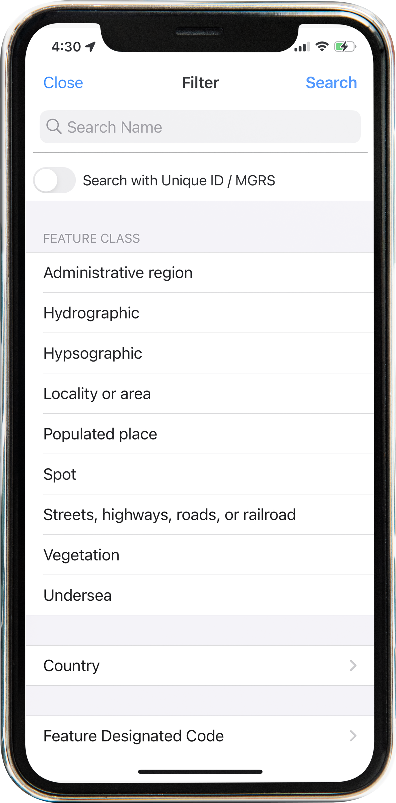
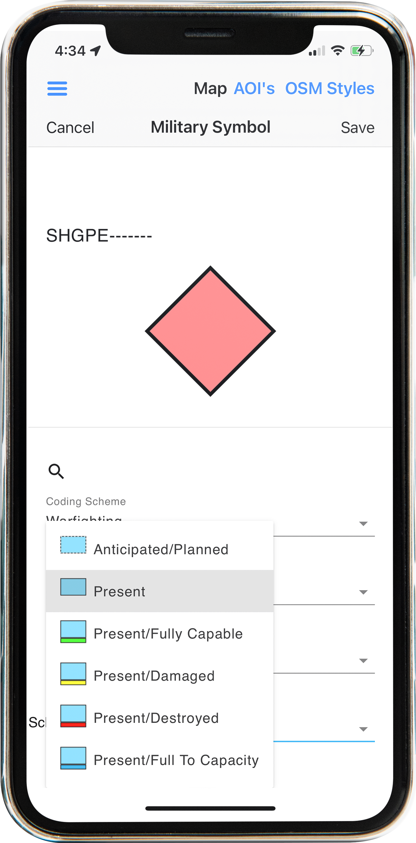
Grid Reference Graphics for briefings and control — keep MGRS-aware graphics with the same mobile map stack.
GRG tools support building and using grid reference graphics during planning and execution. Use them with MGRS views and military symbology when the briefing needs a shared grid language.
Related: Military Symbology · Go to Coordinates
In the field
Grid Reference Graphics for briefings and control — keep MGRS-aware graphics with the same mobile map stack.
Screens