Industries & markets

GIS Mobile Mapping

Bring GPKG, MBTILES, and GeoJSON into the field — style, edit, and work offline on iOS.

GIS & mobile mapping

Your layers. Your device. Offline when needed.

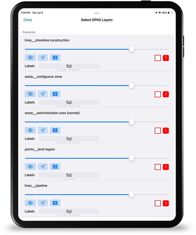
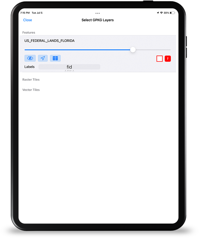
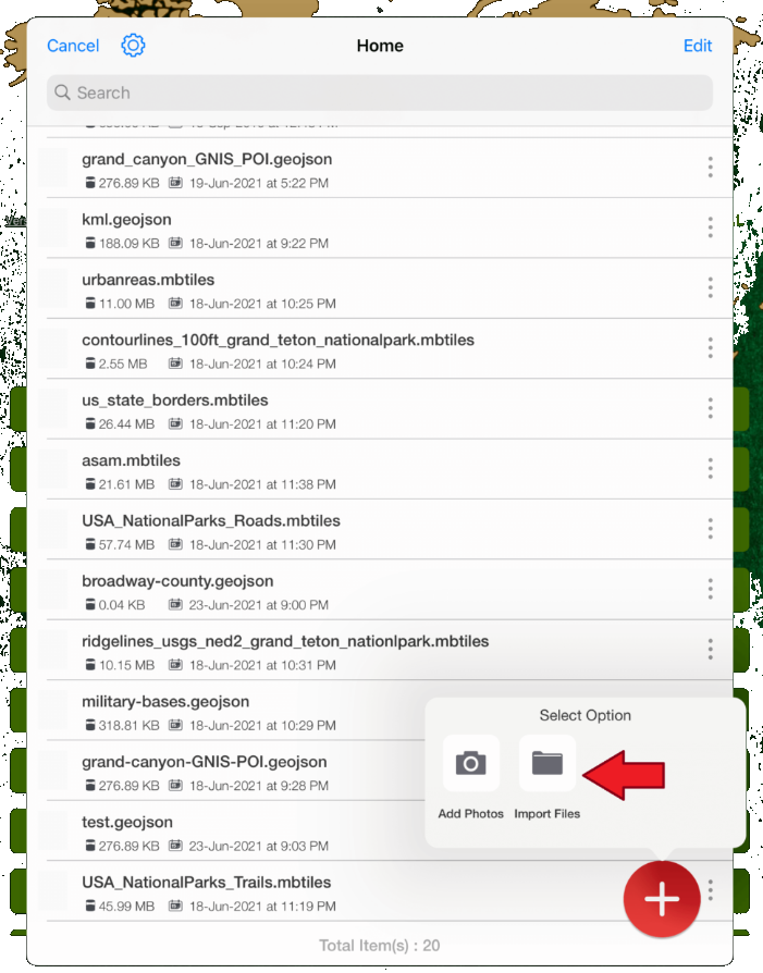
GIS mobile mapping users load their own data: GeoPackages, MBTiles (raster and vector), GeoJSON, and in-app conversion. Digitize features, review attributes, and keep AOI packs ready when the field site has no reliable backhaul.

  • GPKG, MBTILES, GeoJSON from device storage
  • MBTILES vector tiles with field styling
  • Vector digitizing & editing
  • Attribute grid / table workflows
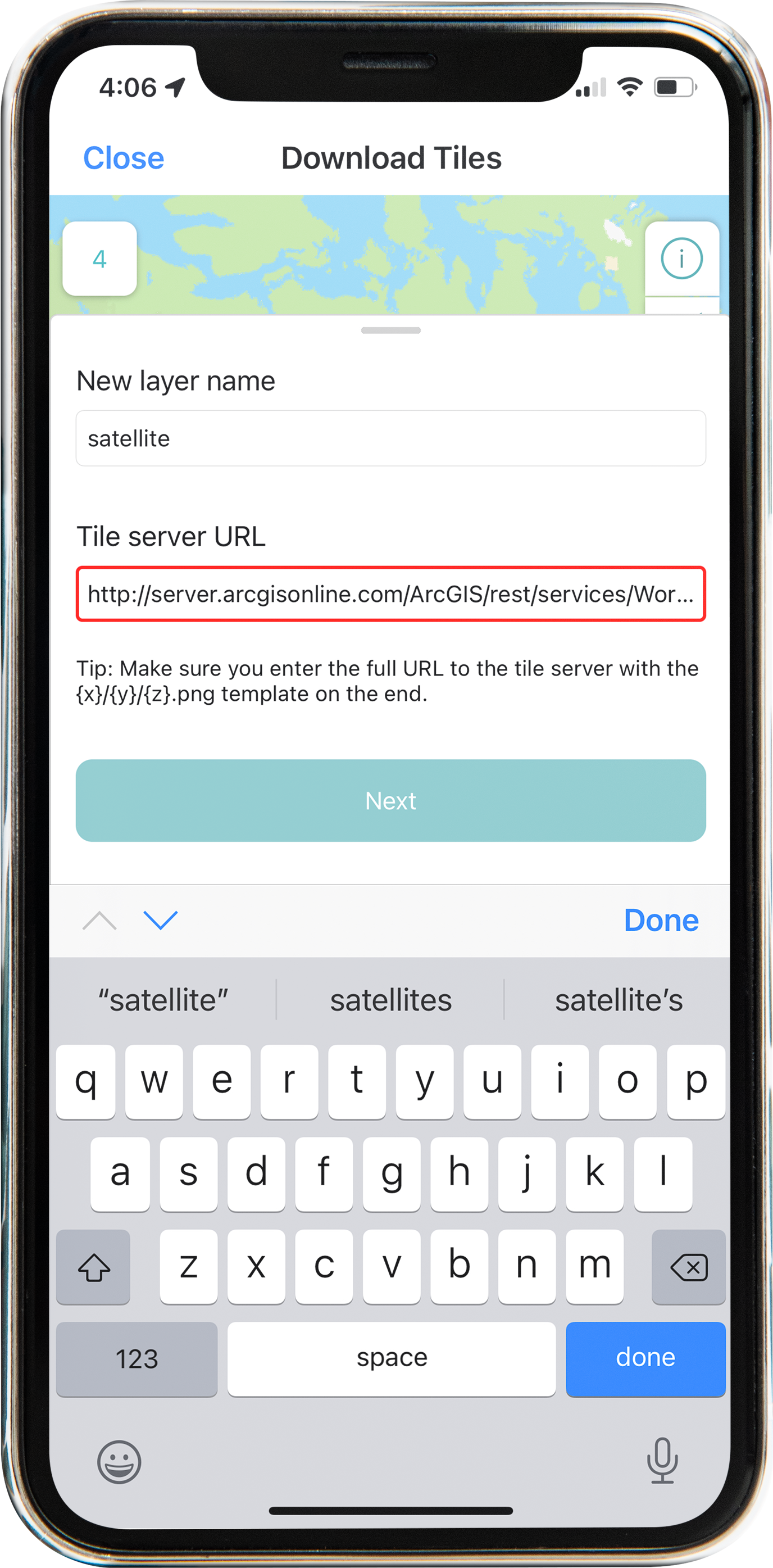
  • Offline AOI + tile downloader options

Pair with forms for structured collection and wifi share to move packages between nearby devices.

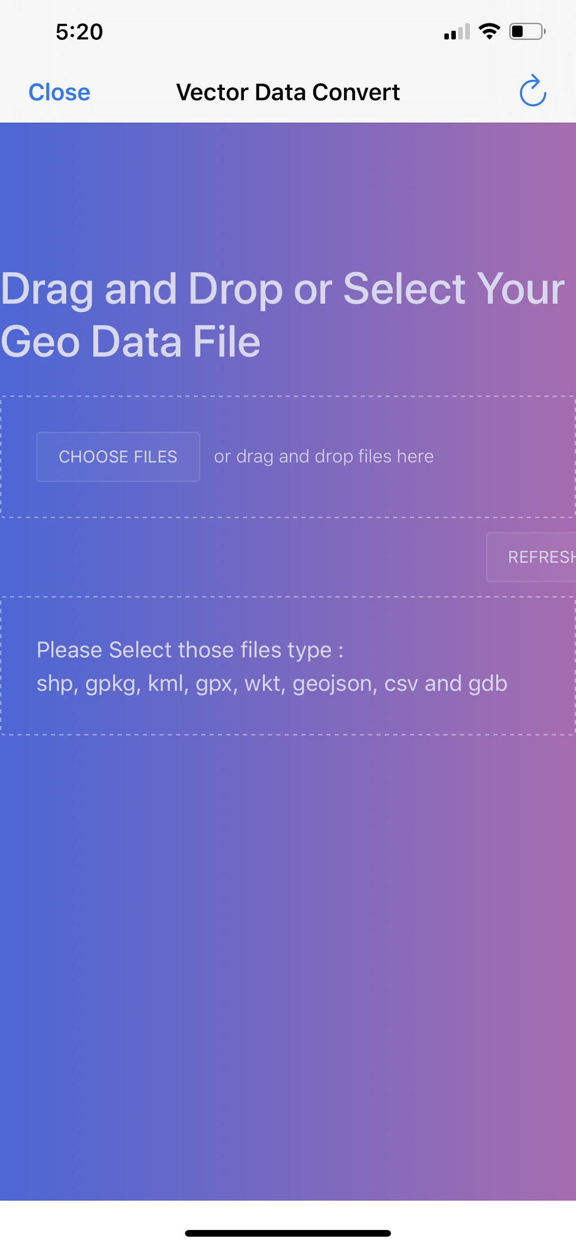
Vector data conversion
Vector converter · iPhone

Sector toolkit

Capabilities this market leans on.

Jump into the same feature pages operators already use — not empty Divi placeholders.

In practice

Field GIS without the laptop tether.

Download tiles, load user device data, and keep attribute review next to the map so the mobile workflow matches how GIS teams already think about layers.

  • Tile downloader for custom extents
  • User device map data manager
  • Map export for desk-side handoff
GIS mobile mapping
GIS mobile · market visual

Visuals

Screens and context for this sector.

Deploy

Evaluate the stack. Ask about custom builds.

App Store for evaluation, Pricing for unlocks, Contact for white-label and agency configurations.

Not affiliated with the U.S. Government (NGA or USGS). Source: GIS Mobile Mapping market.