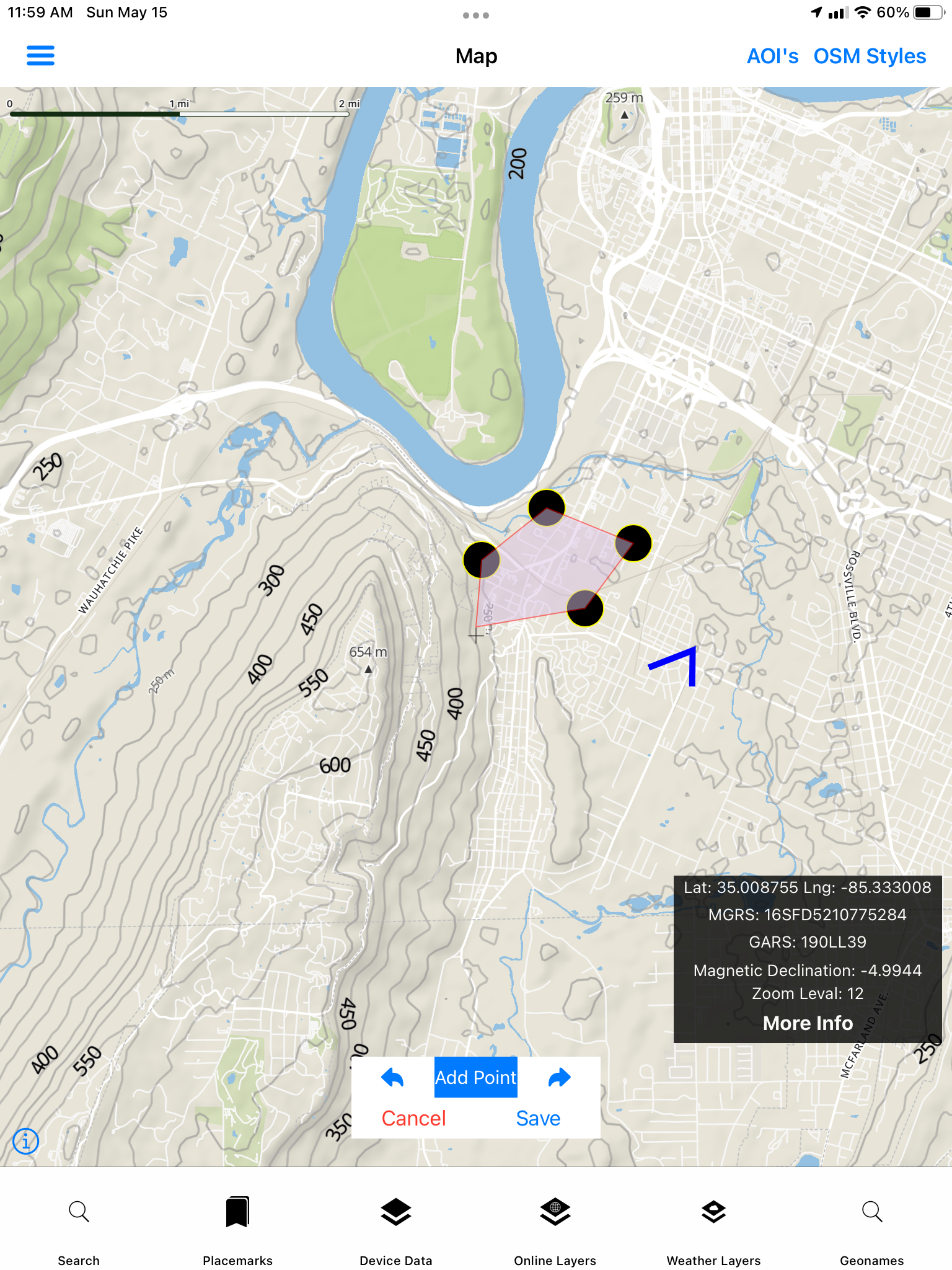
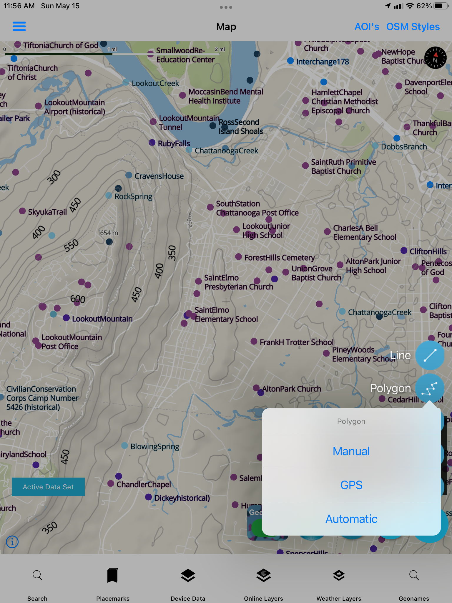
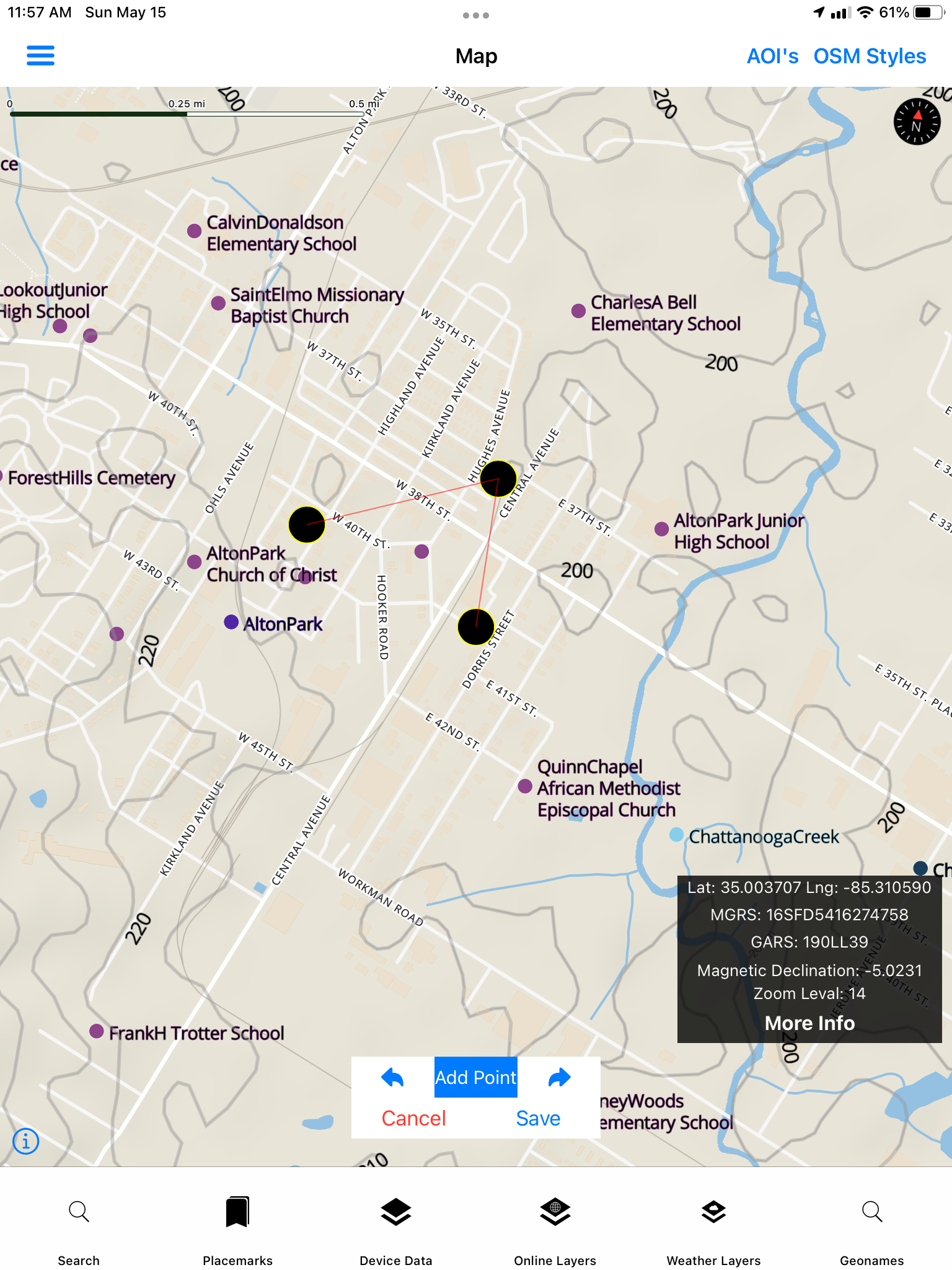
Field capture
Drawing, digitizing, and converting collected data
Points, lines, and polygon geometry and attributes can be exported as GeoJSON and converted to GPKG, KML, and other formats.
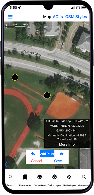
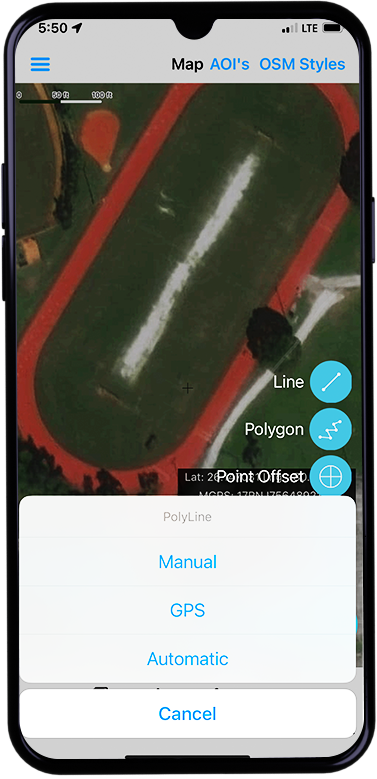
Map Tools · Forms
GeoNames Map Explorer supports the creation of new vector layers (points, lines, and polygons) and digitizing/drawing (select Manual Mode) them as well as capture via GNSS receiver.
Field capture
Points, lines, and polygon geometry and attributes can be exported as GeoJSON and converted to GPKG, KML, and other formats.
Geometry and attributes export as GeoJSON, then convert onward to GPKG, KML, and other open formats — same path as Data Collection forms and the in-app Vector Converter.
More field UI