Formats

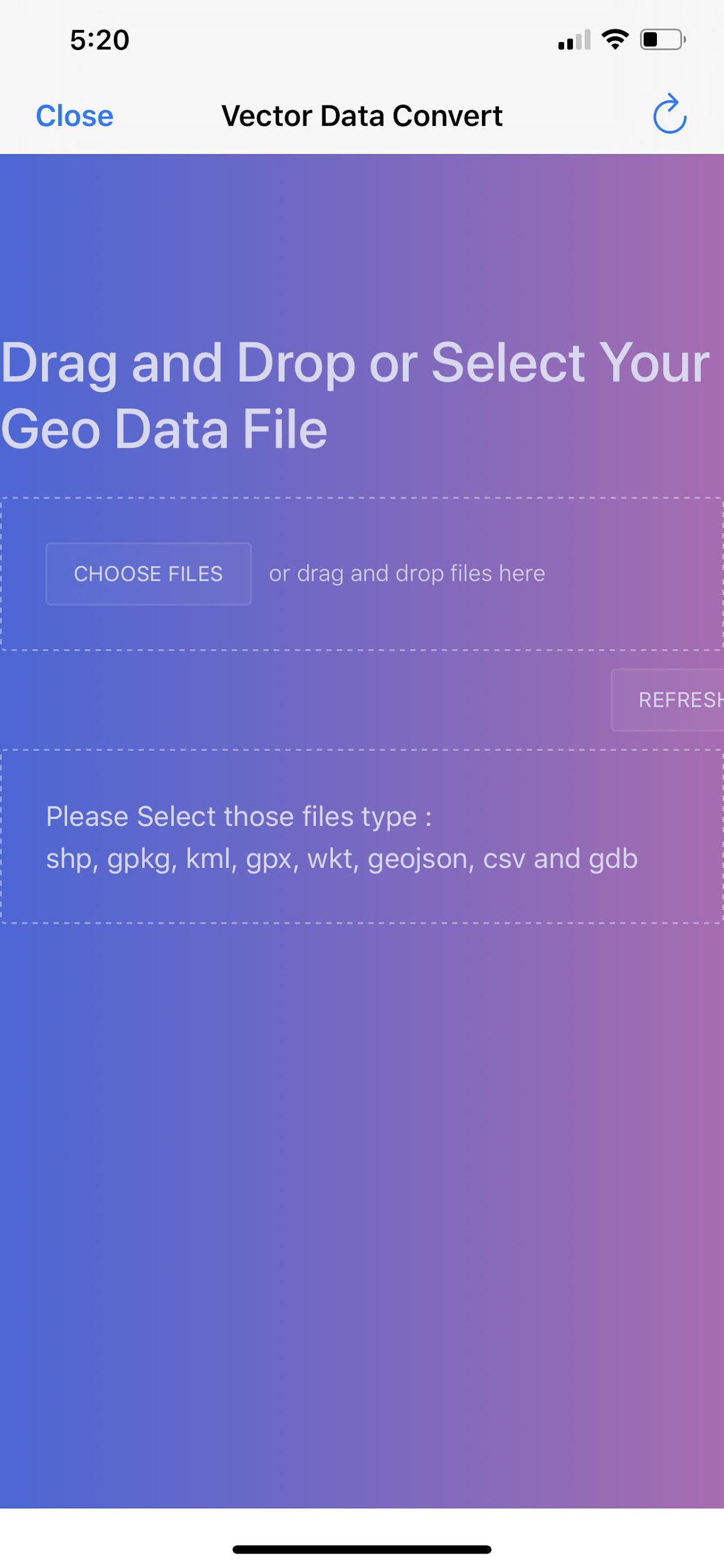
In-app Vector Data Converter

Convert common GIS vector formats to GeoJSON on the device — then load, style, and collect against open formats without a desktop GIS step.

Bring your vectors. Leave proprietary formats behind.

The in-app converter turns field and office GIS files into GeoJSON so they work with Device Data, forms, digitizing, and share/export flows already in GeoNames Map Explorer.

Supported inputs (typical)

  • Shapefile (SHP bundle)
  • GeoPackage (GPKG) vector features
  • KML / KMZ
  • CSV with coordinates
  • WKT geometries

Output & constraints

  • Primary output: GeoJSON
  • Coordinate reference: EPSG:4326 (WGS84)
  • Practical size limit on device (~2 MB class files — keep packages lean)
  • FileGDB and other locked enterprise formats are not supported

After convert, load via Device Data, inspect attributes in the Attribute Grid, or hand off through Forms / Wi‑Fi Share.

This product and website are not affiliated with the U.S. Government (NGA or USGS). Source: in-app-vector-converter.

Field + office

Digitize, convert, share.

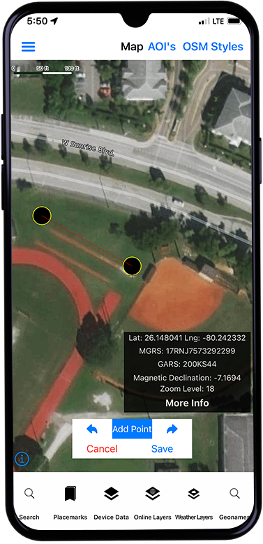
Collected points, lines, and polygons export as GeoJSON and convert onward to GPKG, KML, and related formats — the same path used after forms and manual digitizing.

  • Works with drawing / digitizing workflows
  • Pairs with Forms data collection
  • No proprietary intermediate format required

Screens

Converter and digitize / convert flow