Industries & markets

Environmental Conservation

Offline AOIs, field forms, and weather for conservation teams working remote landscapes.

Environment & conservation

Map the ground you protect.

Environmental and conservation teams need offline coverage, geolocation, and forms for observations — plus weather and terrain context. Load GPKG / GeoJSON survey layers and keep collecting when the network is gone.

  • Offline AOI downloads for remote study areas
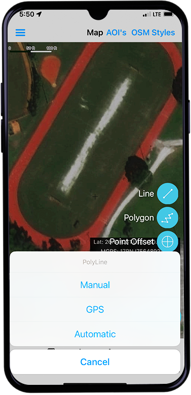
  • Forms & digitizing for field observations
  • Geolocation, placemarks, geotagged photos
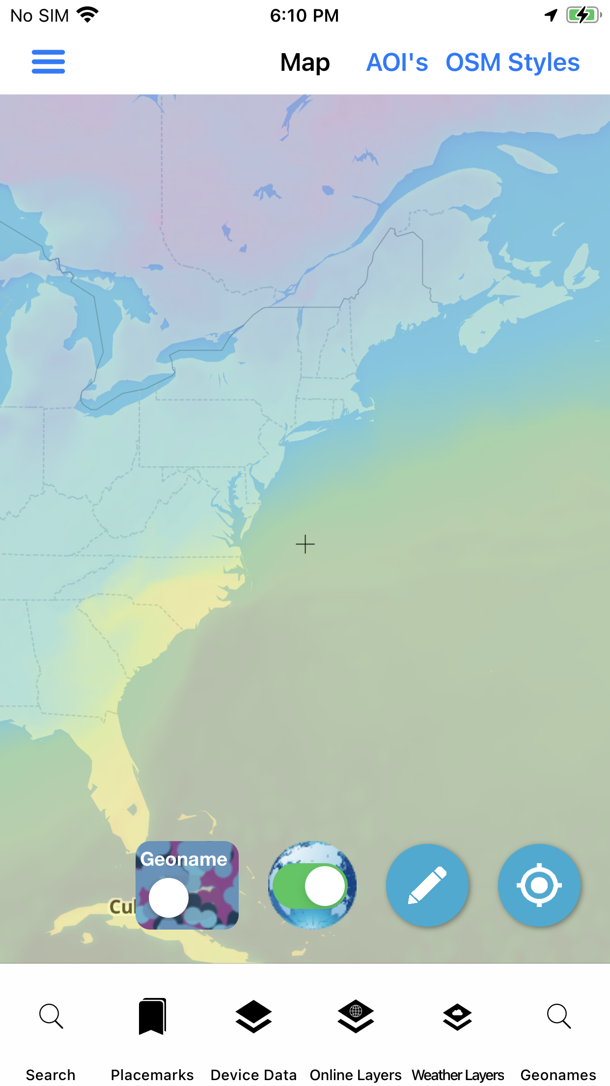
  • Weather for planning field days
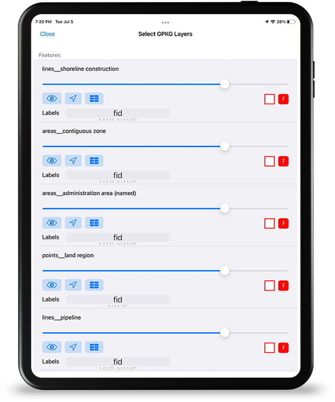
  • Local GPKG / GeoJSON / MBTILES overlays

Attribute grids and file manager help keep survey packages tidy across multi-day deployments.

Field mapping tools
Field map · iPad

Sector toolkit

Capabilities this market leans on.

Jump into the same feature pages operators already use — not empty Divi placeholders.

In practice

Survey layers that travel with the team.

Bring your own vectors and tiles, collect with forms, and export maps for reports — the same stack defense and GIS users already rely on, aimed at conservation AOIs.

  • User device map data
  • Map export for reporting
  • Wifi share for camp / vehicle handoff
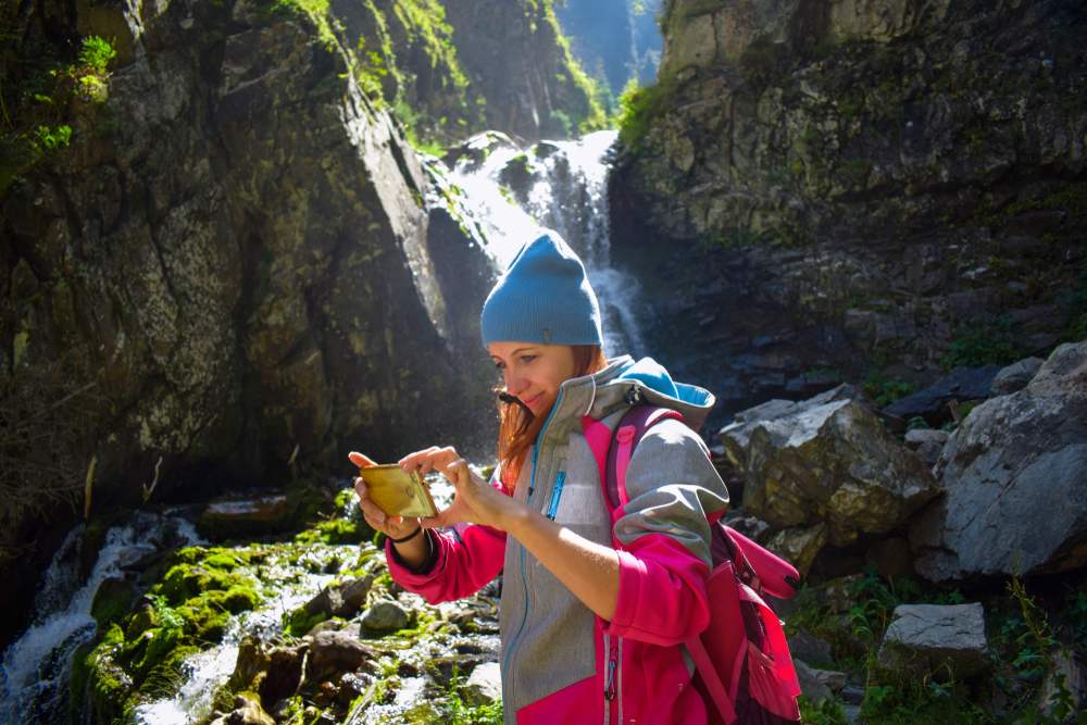
Environmental conservation fieldwork
Environmental · market visual

Visuals

Screens and context for this sector.

Deploy

Evaluate the stack. Ask about custom builds.

App Store for evaluation, Pricing for unlocks, Contact for white-label and agency configurations.

Not affiliated with the U.S. Government (NGA or USGS). Source: Environmental Conservation market.