Industries & markets

Wildland Fire

Weather, terrain packs, and field collection for fire and incident teams working remote AOIs.

Wildland fire

Weather and AOI when the line moves.

Wildland fire support needs weather awareness, offline map packs, geolocation, and a way to capture observations without waiting on a server. GeoNames Map Explorer keeps those pieces on one map operators can brief from.

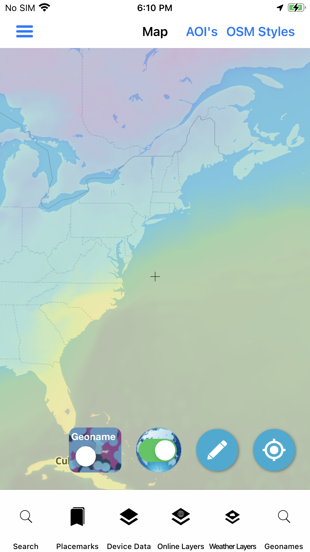
  • Weather forecast and raster weather layers
  • Offline AOI downloads for remote ground
  • Geolocation, measure, and radius rings
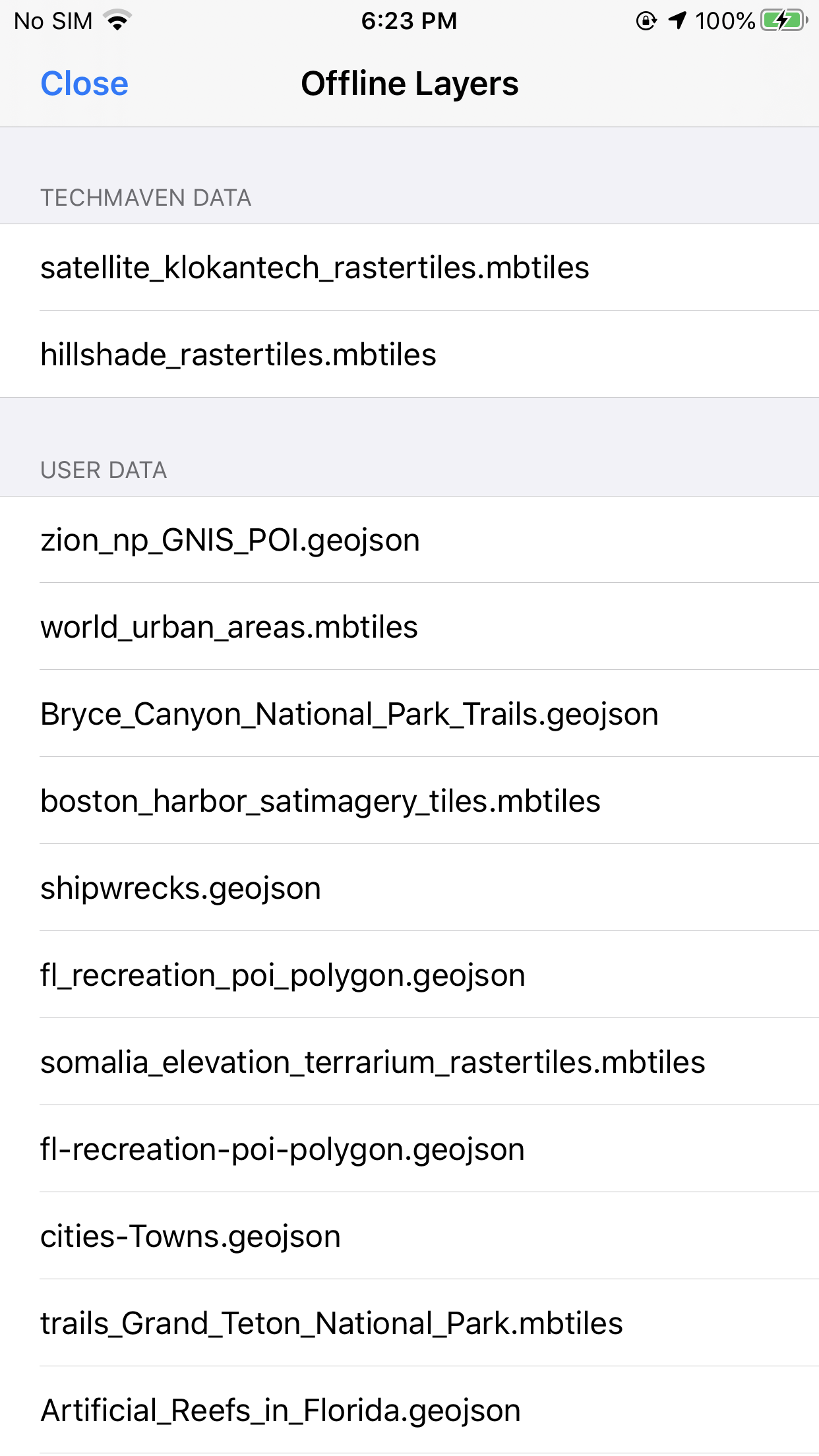
  • Forms for offline incident notes
  • Placemarks and geotagged photos

Live location and GPS tracker help when teams need a shared sense of movement during an assignment.

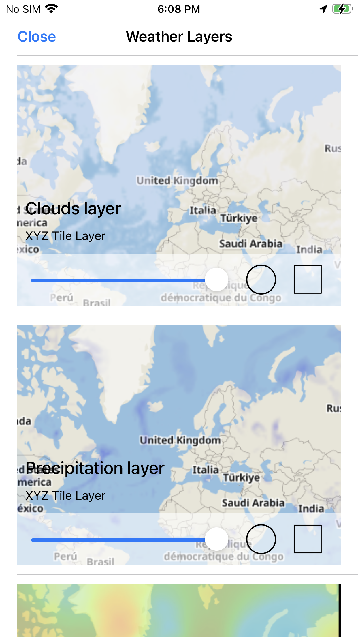
Weather raster tiles
Weather rasters · map

Sector toolkit

Capabilities this market leans on.

Jump into the same feature pages operators already use — not empty Divi placeholders.

In practice

Brief from the same stack you carry.

Load contours and hillshade packs, mark points, and export maps for handoff — then keep working when the tower drops.

  • Topo / hillshade basemap options
  • Map export for briefings
  • Wifi share between nearby devices
Wildland fire operations
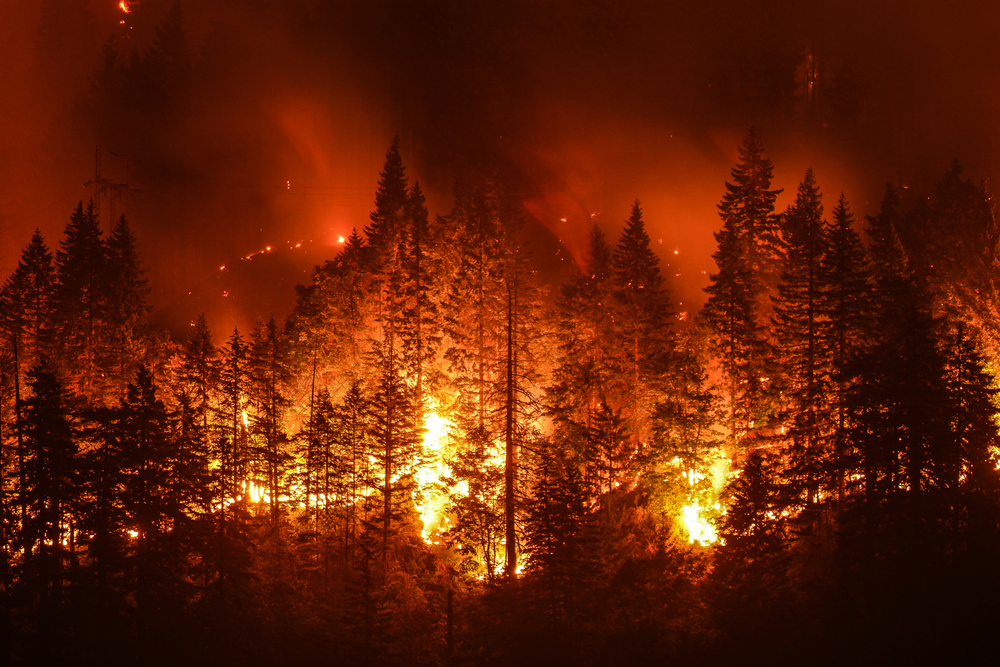
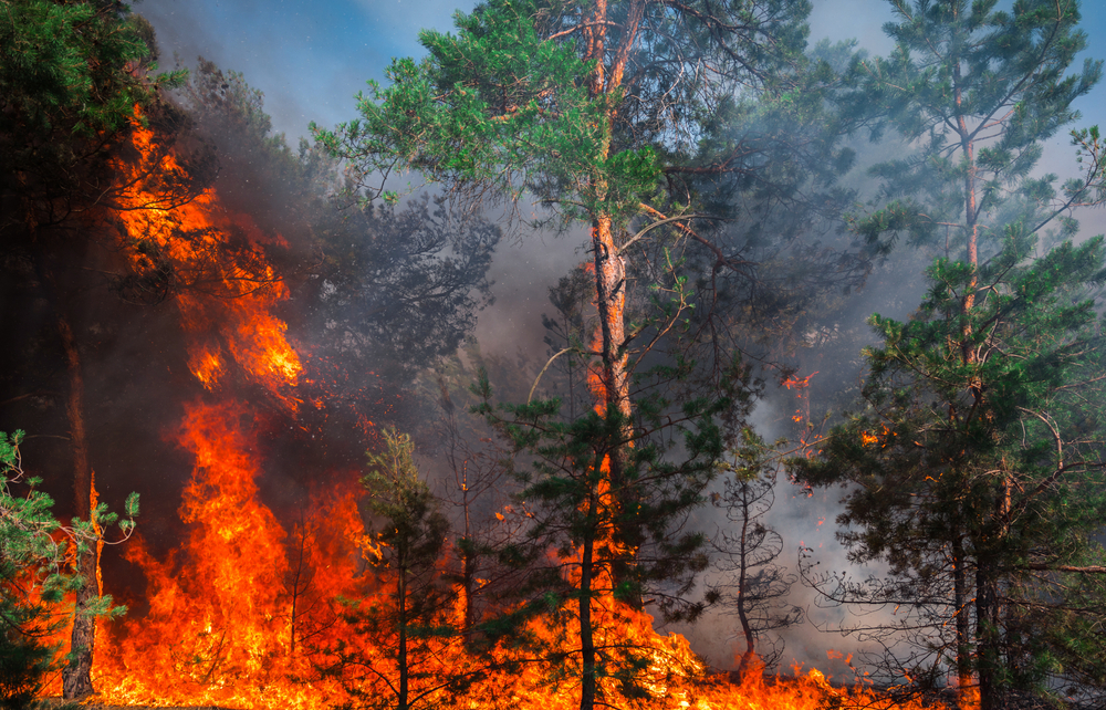
Wildland fire · market visual

Visuals

Screens and context for this sector.

Deploy

Evaluate the stack. Ask about custom builds.

App Store for evaluation, Pricing for unlocks, Contact for white-label and agency configurations.

Not affiliated with the U.S. Government (NGA or USGS). Source: Wildland Fire market.