Industries & markets

Homeland Security

Shared map context for security teams — places, weather, tracking, and offline packs in one iOS app.

Homeland security

One map for places, weather, and movement.

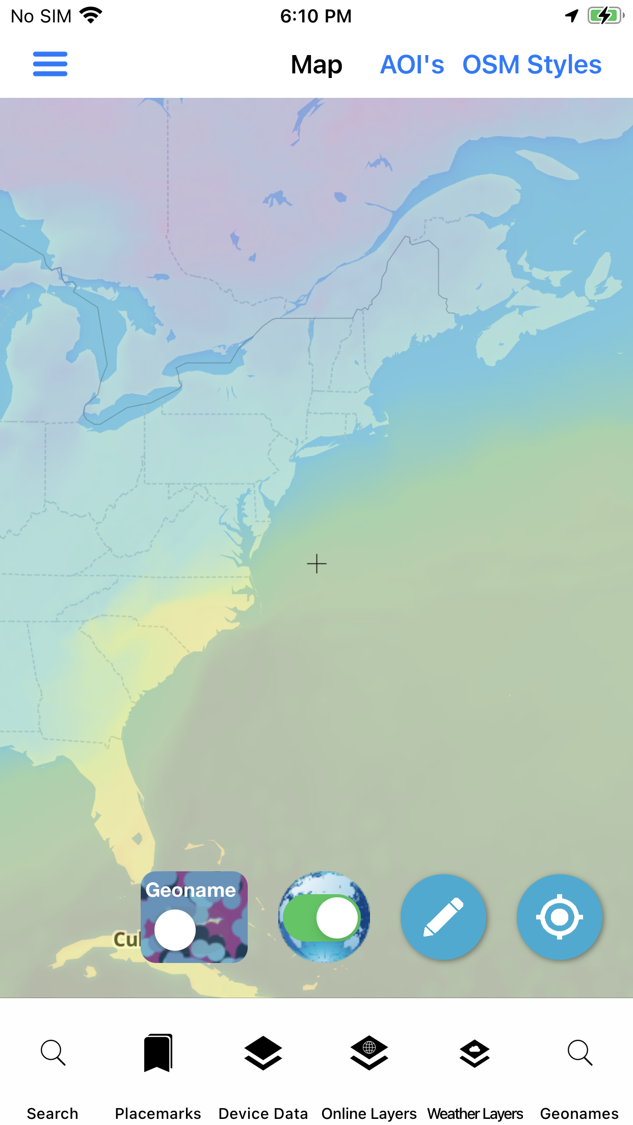
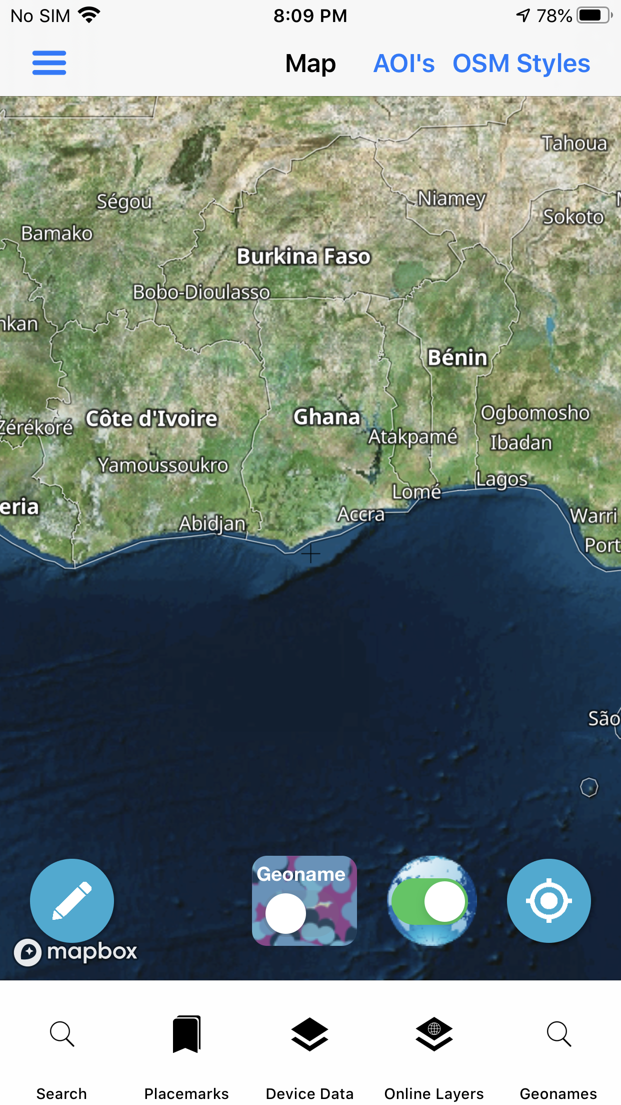
Homeland security users need a common picture: where things are, what the weather is doing, who is moving, and which AOI packs stay available offline. GeoNames Map Explorer puts those capabilities beside U.S. place-name authority and foreign GeoNames when operations reach beyond the border.

  • GeoNames / GNIS place search
  • Weather forecast & map layers
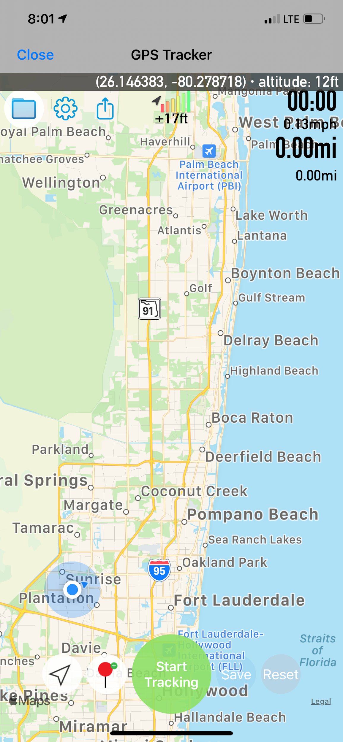
  • Live location tracking + GPS tracker
  • Placemarks, photos, and forms
  • Offline AOI downloads

Coordinate converters, reference info, and wifi share help when teams hand off packs in the field.

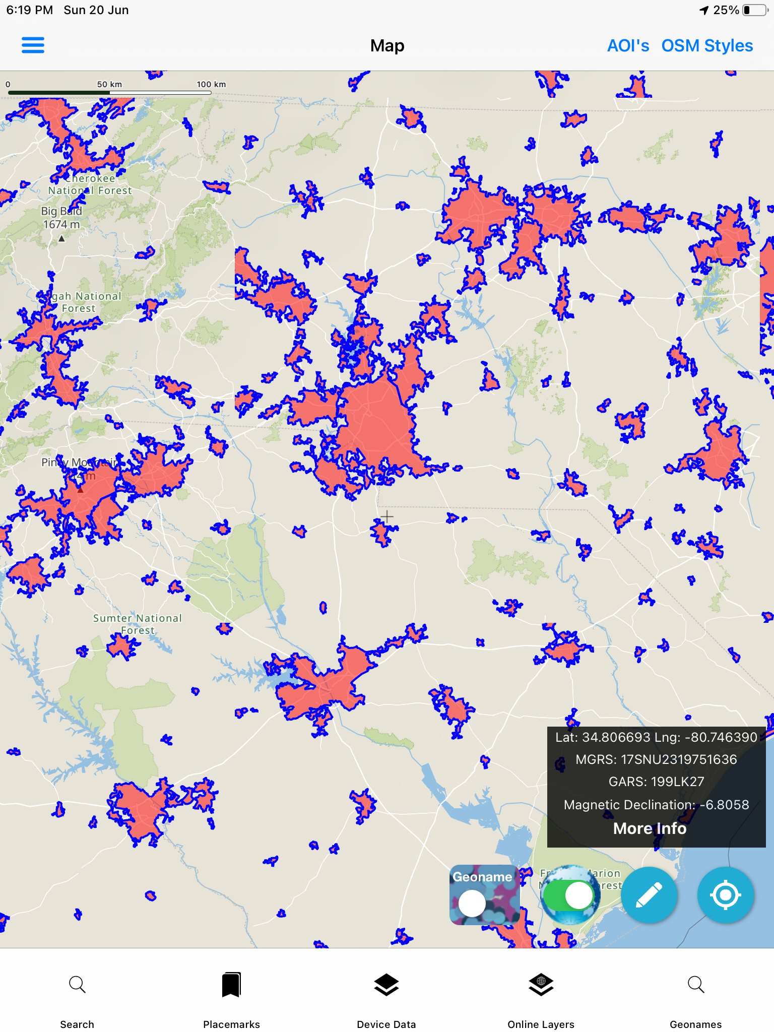
Ops map on device
Ops map · iPad

Sector toolkit

Capabilities this market leans on.

Jump into the same feature pages operators already use — not empty Divi placeholders.

In practice

Ready before the event — usable during it.

Pre-load AOIs, set placemarks, and keep weather and tracking available so the map stays the briefing surface when plans change mid-day.

  • Inset map and compass for orientation
  • Map export for after-action packages
  • User device MBTILES / GPKG overlays
Homeland security sector
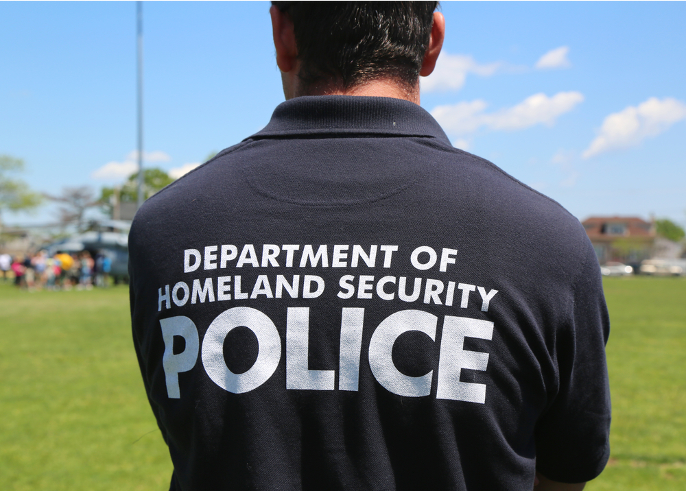
Homeland security · market visual

Visuals

Screens and context for this sector.

Deploy

Evaluate the stack. Ask about custom builds.

App Store for evaluation, Pricing for unlocks, Contact for white-label and agency configurations.

Not affiliated with the U.S. Government (NGA or USGS). Source: Homeland Security market.