Screens
From the product gallery
Navigate
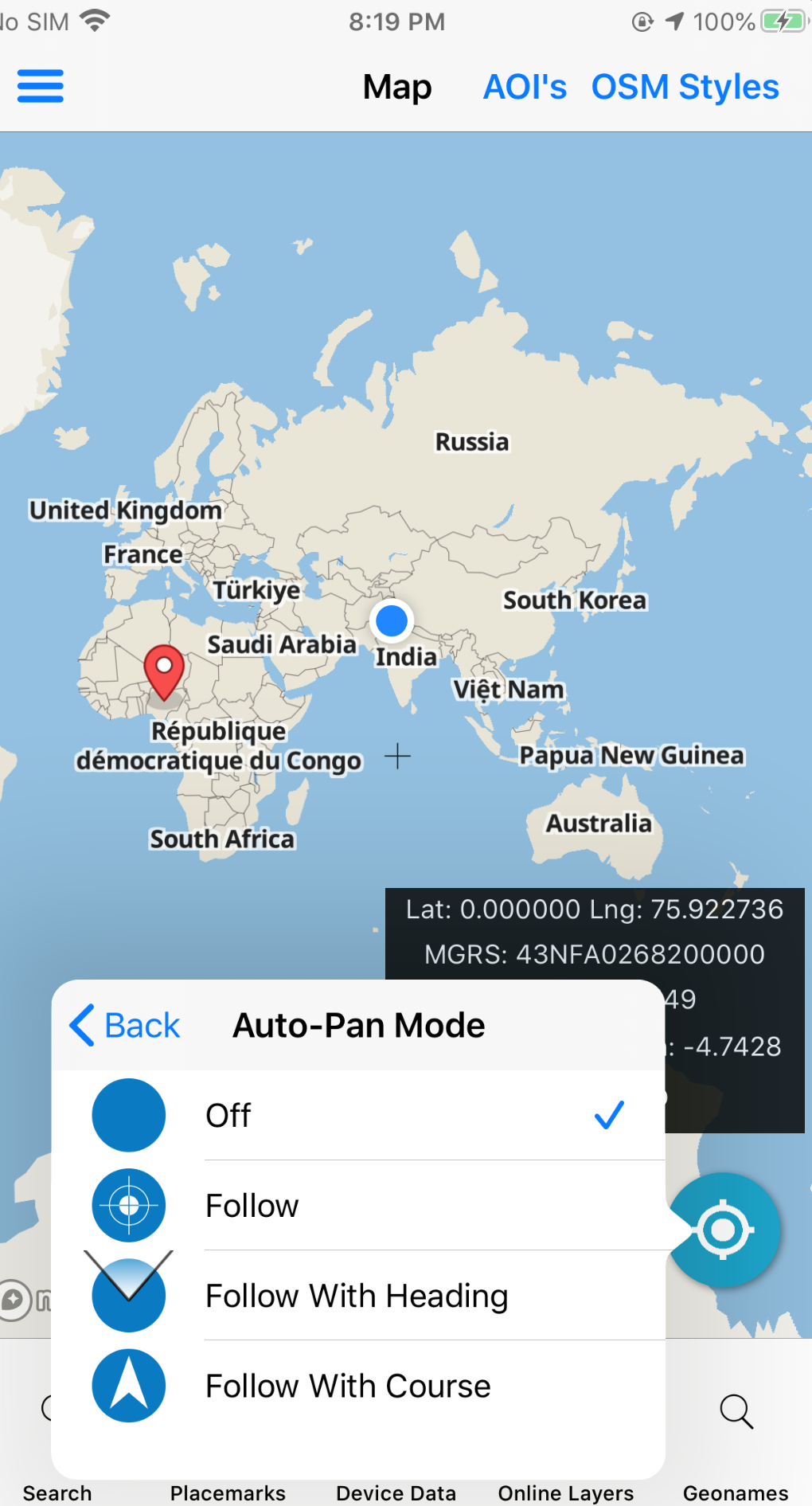
Jump the map to lat/long, MGRS, GARS, and related coordinate strings — then brief from that point.
Paste or type a coordinate and center the map instantly. Supports the same grid languages operators already use in GEOINT workflows, including MGRS and GARS where enabled.
Related: Convert Coordinates · MGRS views
In the field
Jump the map to lat/long, MGRS, GARS, and related coordinate strings — then brief from that point.
Screens