
Built for the road
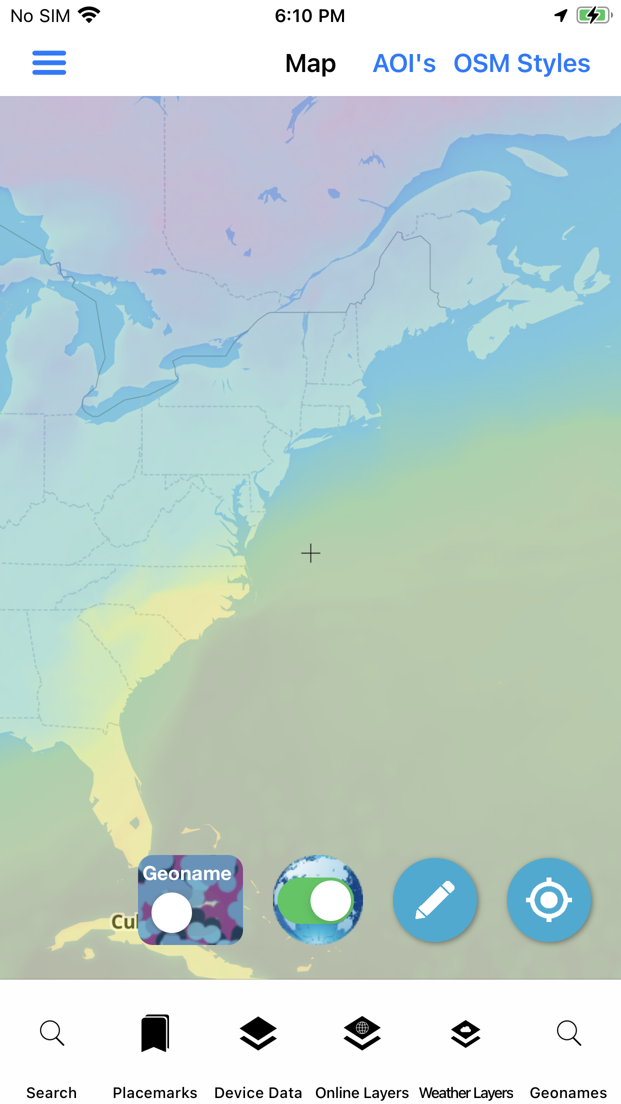
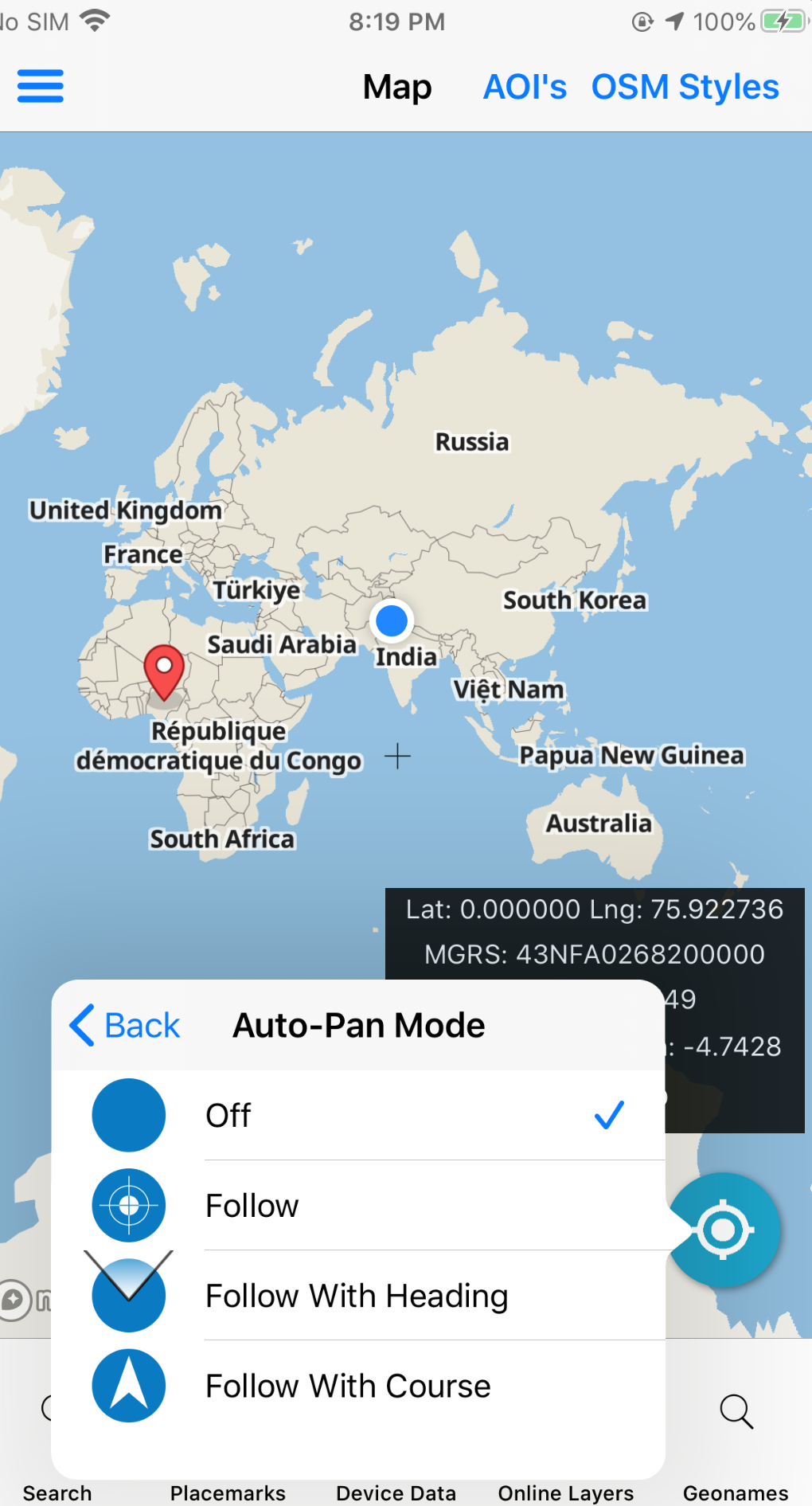
GeoNames Map Explorer helps travelers check weather conditions and forecast, sunrise and sunset, share geolocation quickly, collect field notes, and fold everything into the same offline map stack — alongside U.S. Government worldwide points of interest.
Coming soon: 3D terrain perspective. Same app operators already use for foreign GeoNames — useful when you are the one far from home.
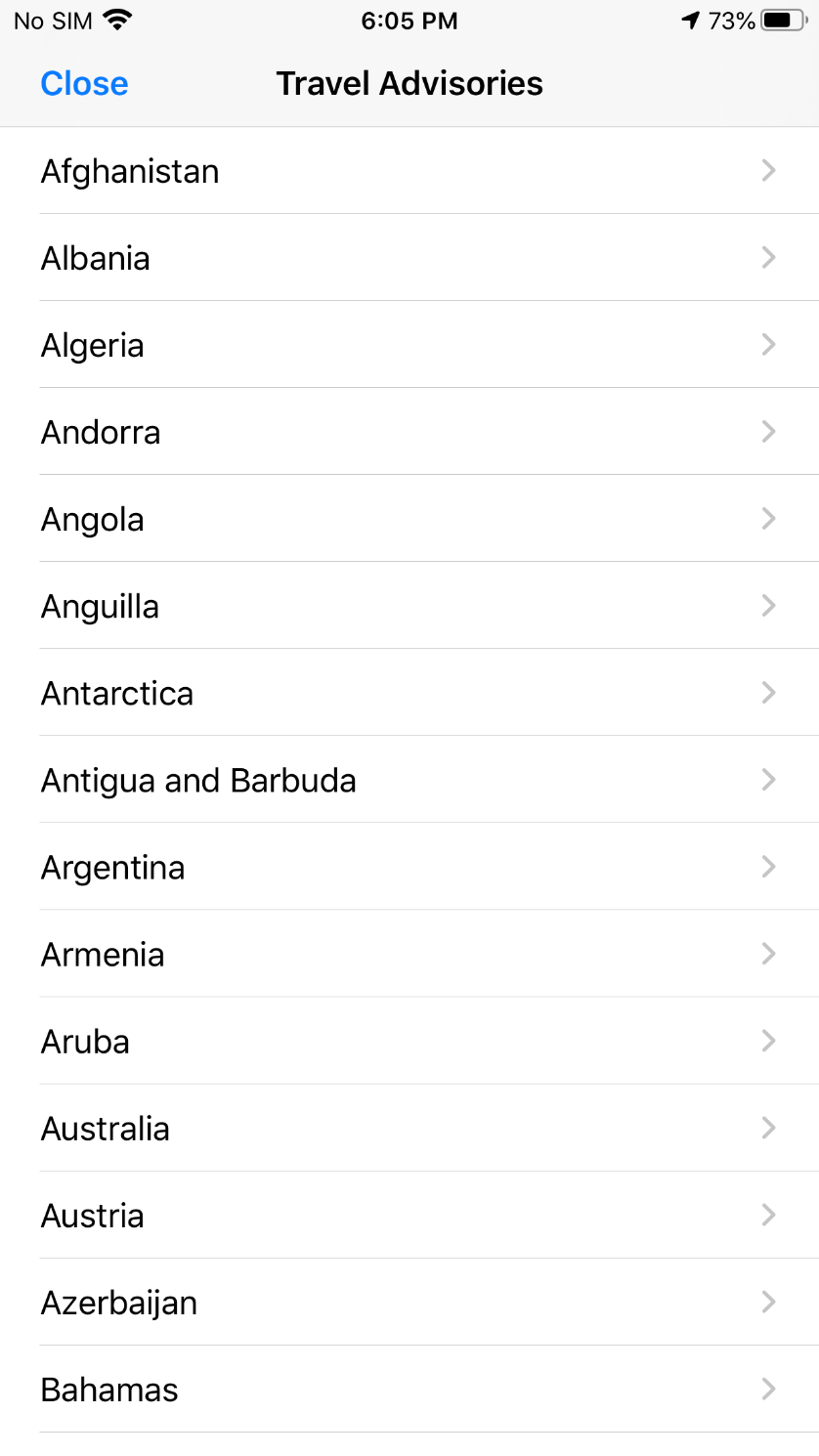
Traveler toolkit
The live product packages weather, advisories, embassies, currency, and geolocation next to the map — not as separate tourist apps.
Offline mapping
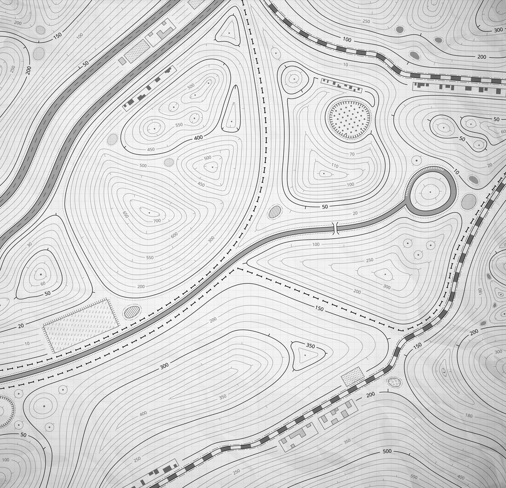
Vector-tile based topo maps with contour lines and hillshade, plus spot elevation when you need a height check. Pair AOI downloads with GeoNames POIs so the place names stay with you when the tower does not.
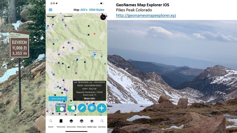
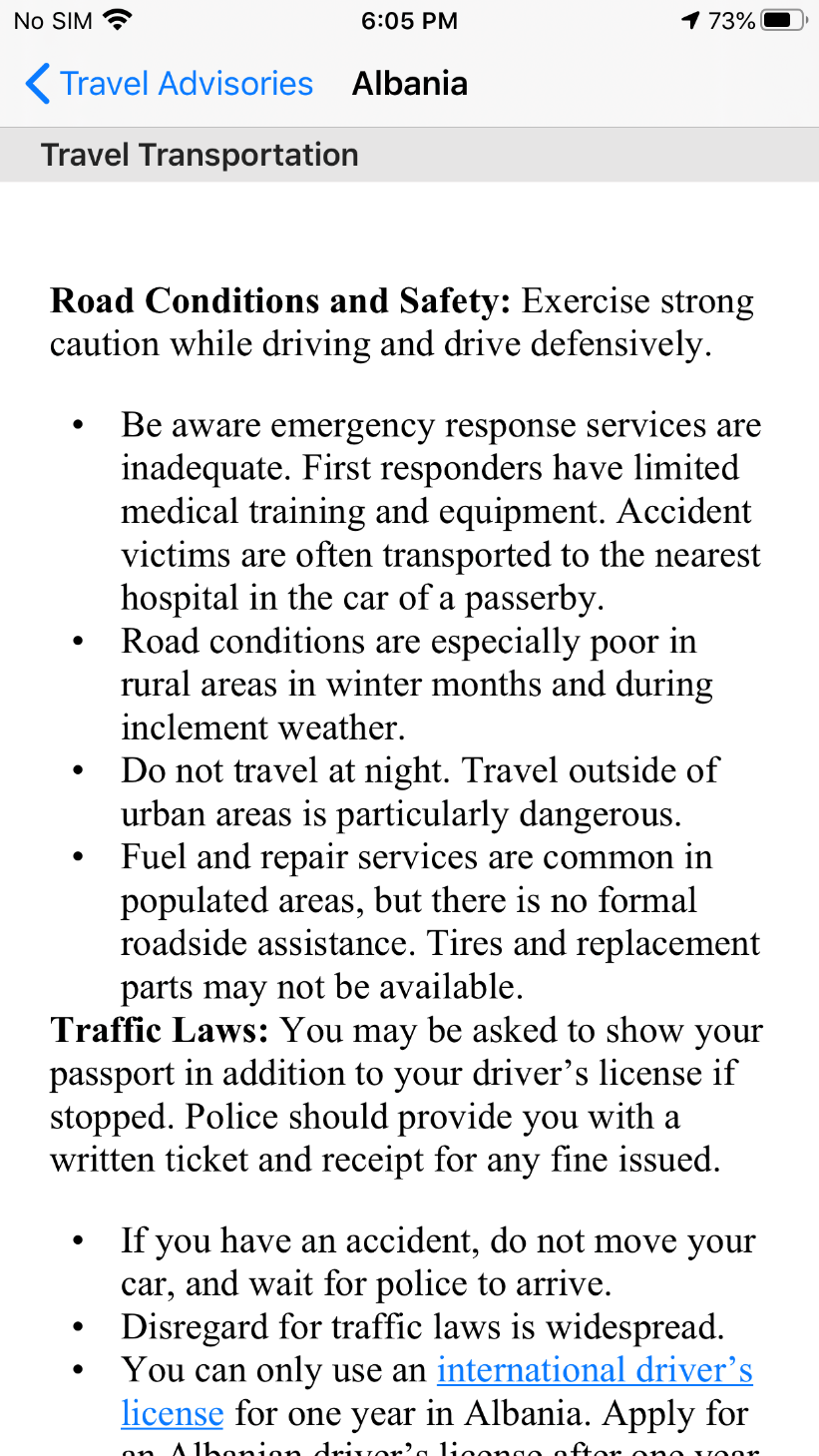
Before you go
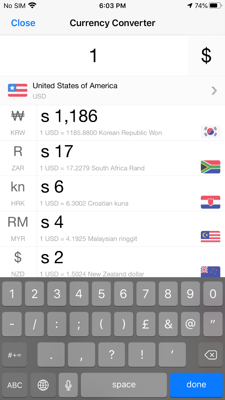
Pick a country, read transportation, health, local laws, safety and security, entry/exit requirements, and embassy / consulate notes. Convert currency when you need a number fast. Keep US embassy points on the map when plans change mid-trip.
In the field
Deploy
Evaluate on the App Store, or ask about custom builds for travel teams and field programs.
