Industries & markets

OHV

Offline maps, tracks, and waypoints for off-highway travel when the trail is the network.

OHV & trails

Download the trail country. Ride with a track.

OHV users need offline AOI packs, GPS tracking, geolocation, and placemarks for trailheads and junctions. Keep contours and hillshade available so the ride still has terrain context when the phone is offline.

  • Offline AOI downloads
  • GPS tracker for recorded routes
  • Geolocation and placemarks
  • Topo / hillshade map context
  • Compass, measure, and go-to-coordinates

Weather and sunrise/sunset help plan early starts; file manager and wifi share move packs between devices.

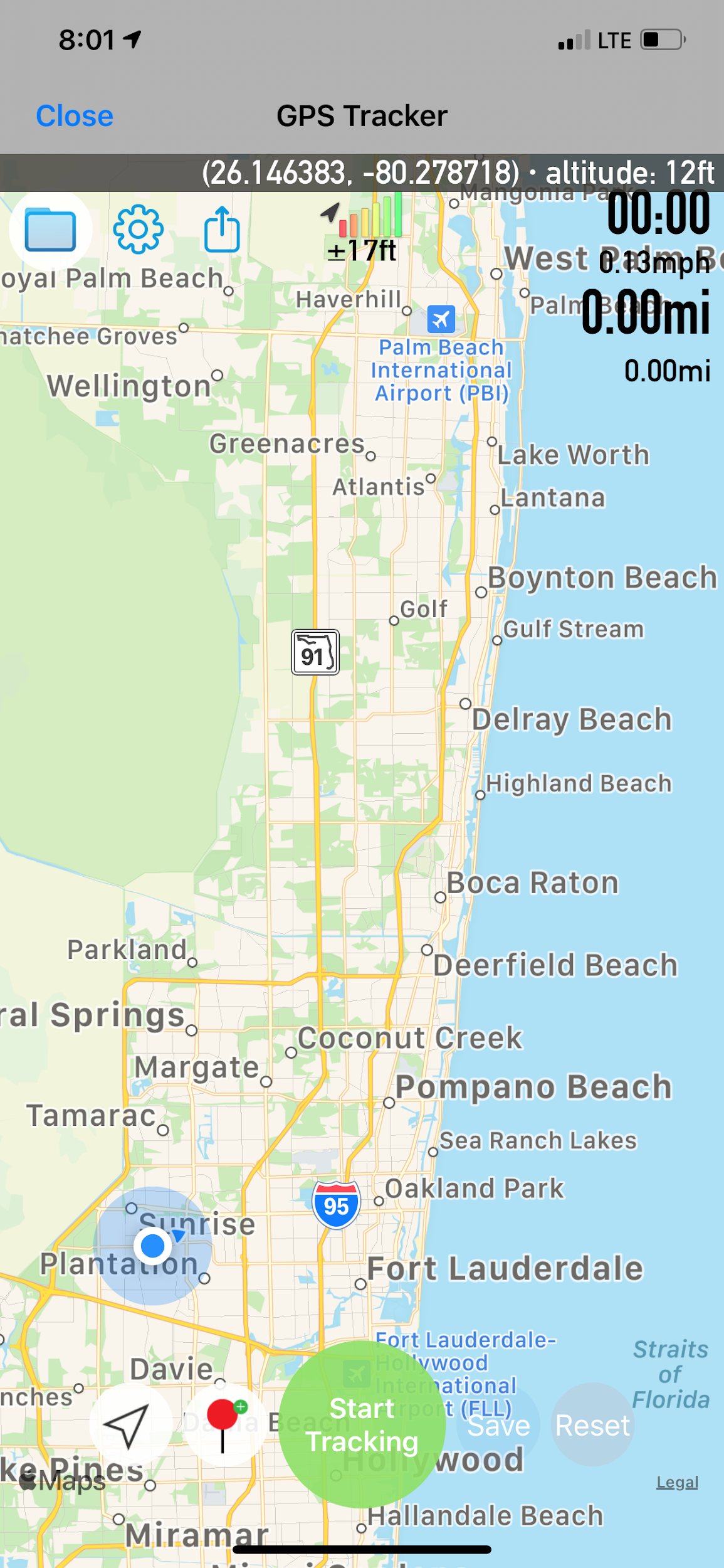
GPS tracker
GPS tracker · iPhone

Sector toolkit

Capabilities this market leans on.

Jump into the same feature pages operators already use — not empty Divi placeholders.

In practice

Trail packs that stay offline-ready.

Toggle online/offline basemaps, keep a compass handy, and export maps when you want a paper or PDF backup for the group.

  • Online / offline toggle
  • Compass & measure
  • Map export for group briefs
OHV and off-highway travel
OHV · market visual

Visuals

Screens and context for this sector.

Deploy

Evaluate the stack. Ask about custom builds.

App Store for evaluation, Pricing for unlocks, Contact for white-label and agency configurations.

Not affiliated with the U.S. Government (NGA or USGS). Source: OHV market.