Industries & markets

Marine / Nautical Users

Weather, bearing, and location tools for waterborne work — with offline packs when the coast is thin on coverage.

Marine & nautical

Read the sky. Hold the bearing.

Marine and nautical users lean on weather, compass, geolocation, and clear measure tools. Pair those with offline AOI downloads and place-name context so coastal and harbor operations stay oriented when connectivity fades.

  • Weather forecast, conditions, and map layers
  • Compass, measure, distance & bearing
  • Geolocation and go-to-coordinates
  • Offline AOI packs for coastal zones
  • Placemarks for harbors, waypoints, and notes

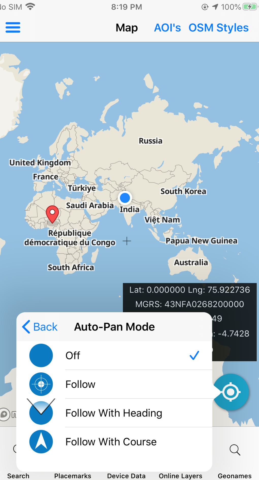
Magnetic declination and inset map support orientation when you need a second view of the AOI.

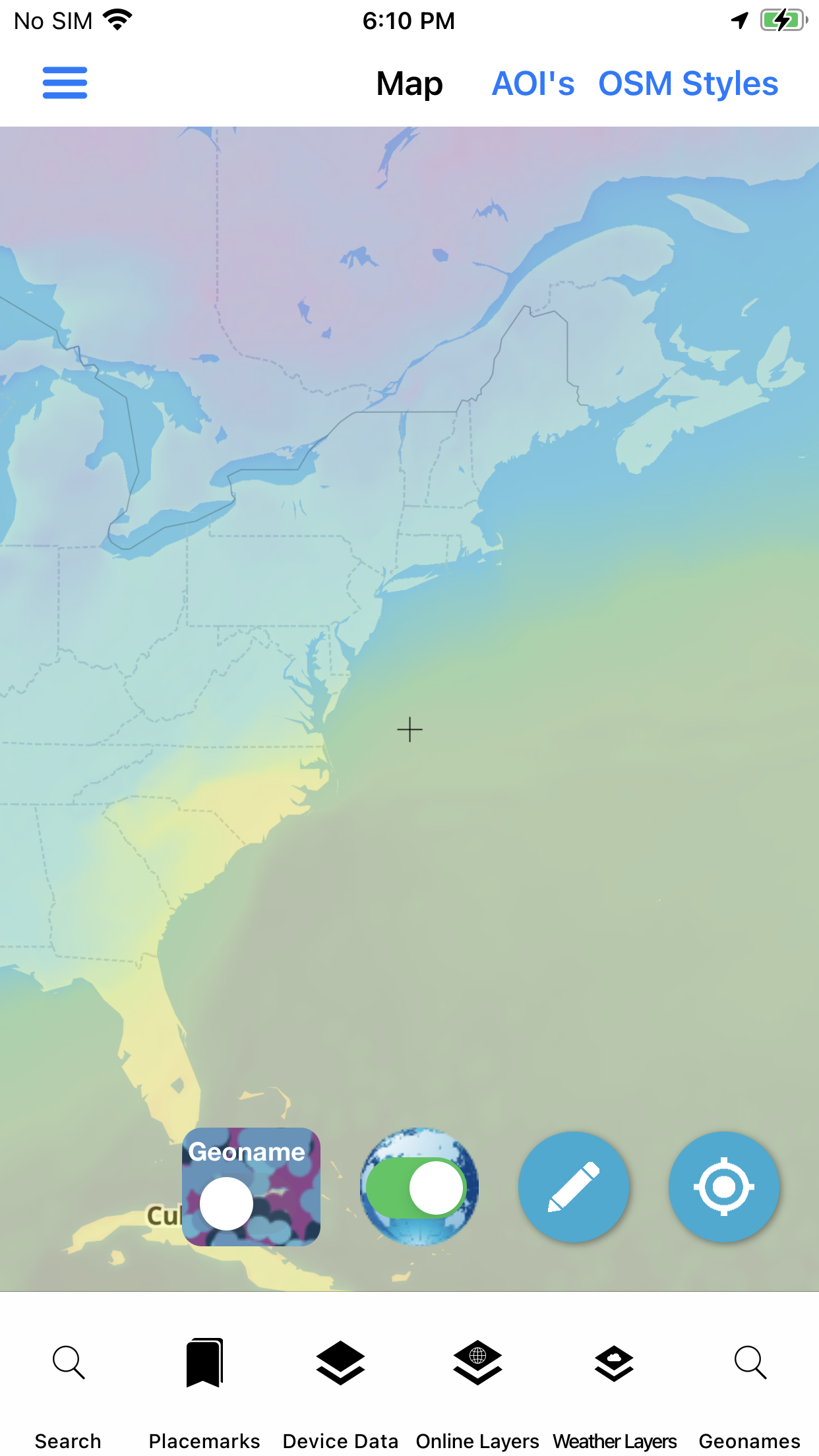
Weather layers on map
Weather · on the map

Sector toolkit

Capabilities this market leans on.

Jump into the same feature pages operators already use — not empty Divi placeholders.

In practice

Coastal packs that travel with you.

Download the AOI, keep weather nearby, and use placemarks plus geotagged photos when you need a record of what you saw on the water.

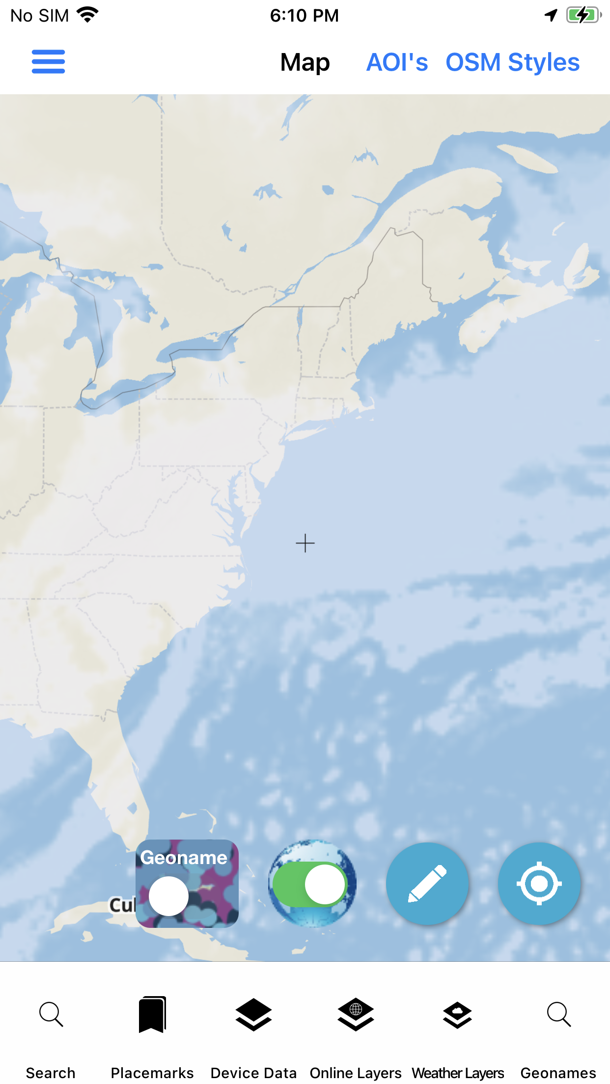
  • Online / offline basemap toggle
  • Map export for crew briefs
  • Forms for structured field notes
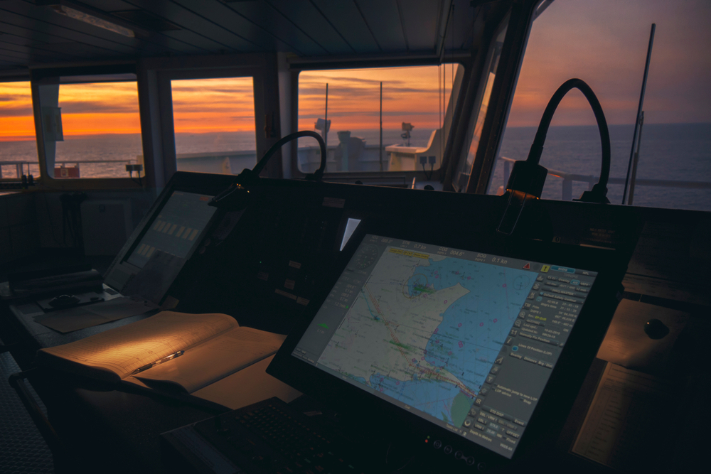
Marine and nautical navigation
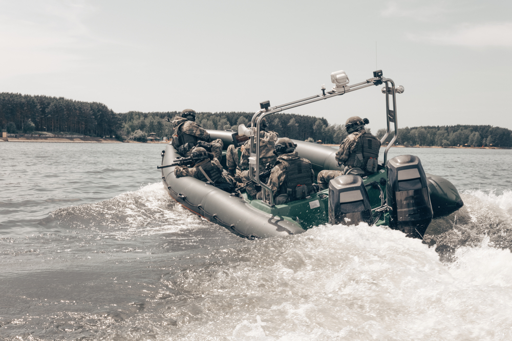
Marine sector · market visual

Visuals

Screens and context for this sector.

Deploy

Evaluate the stack. Ask about custom builds.

App Store for evaluation, Pricing for unlocks, Contact for white-label and agency configurations.

Not affiliated with the U.S. Government (NGA or USGS). Source: Marine / Nautical Users market.