Field & backcountry
Carry the terrain. Keep the names.
Hunters and backcountry users need contours, hillshade, spot elevation, and offline AOI packs — plus geolocation when you mark a stand, camp, or trail junction. GeoNames Map Explorer brings that stack to iOS without a separate tourist app.
- Vector-tile topo with contours & hillshade
- Spot elevation checks
- Offline AOI downloads before you go
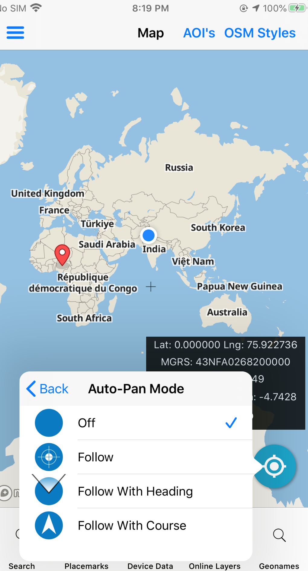
- Geolocation, compass, measure tools
- Placemarks for camps, stands, and waypoints
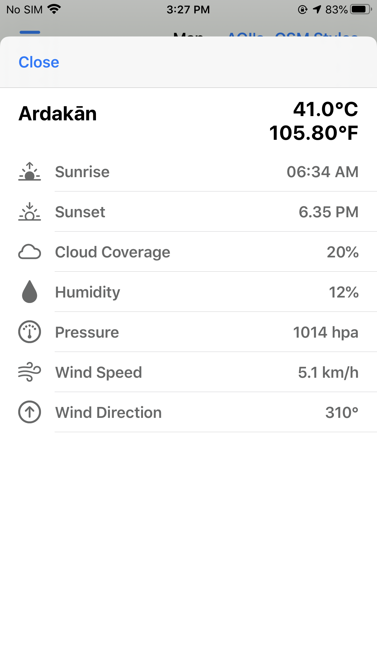
Weather forecast and sunrise/sunset help plan the day; 3D terrain perspective is coming soon.