Industries & markets

Customs & Border Protection

Place context, rings, and offline packs for teams working the line — when coverage and time both matter.

Border operations

Hold the picture at the edge.

Customs and border protection workflows need fast geolocation, clear distance/range rings, placemarks for points of interest, and AOI downloads that stay usable when the cell tower does not. GeoNames Map Explorer keeps those tools next to authoritative place names.

  • Geolocation + go-to-coordinates
  • Radius / range / distance rings
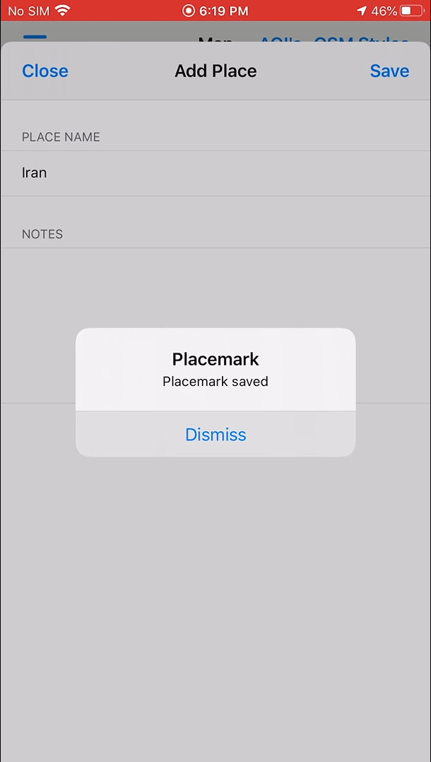
  • Placemarks and geotagged photos
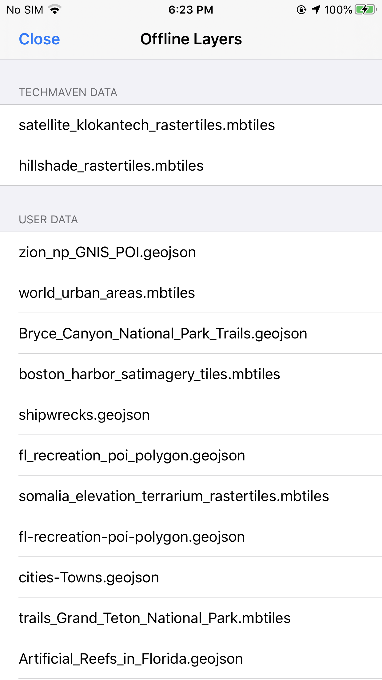
  • Offline AOI + local vector/raster tiles
  • Forms for field notes without a server

Use weather and live location when conditions or team positions change during a shift.

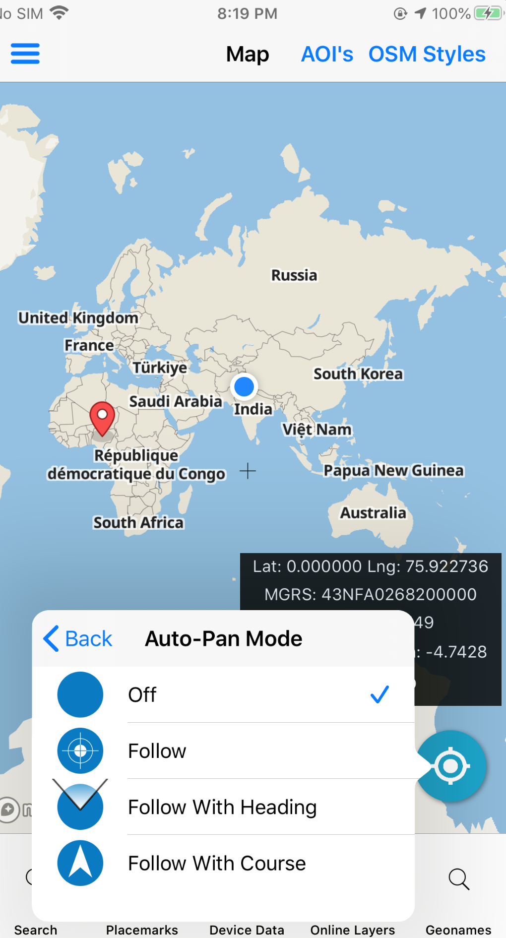
Geolocation tools
Geolocation · iPhone

Sector toolkit

Capabilities this market leans on.

Jump into the same feature pages operators already use — not empty Divi placeholders.

In practice

From rings to records — same map.

Build situational awareness with measure tools, compass, and online/offline toggle, then capture what happened with forms and geotagged photos that stay with the package.

  • Measure, distance & bearing
  • Online / offline basemap control
  • Map export for briefs and handoff
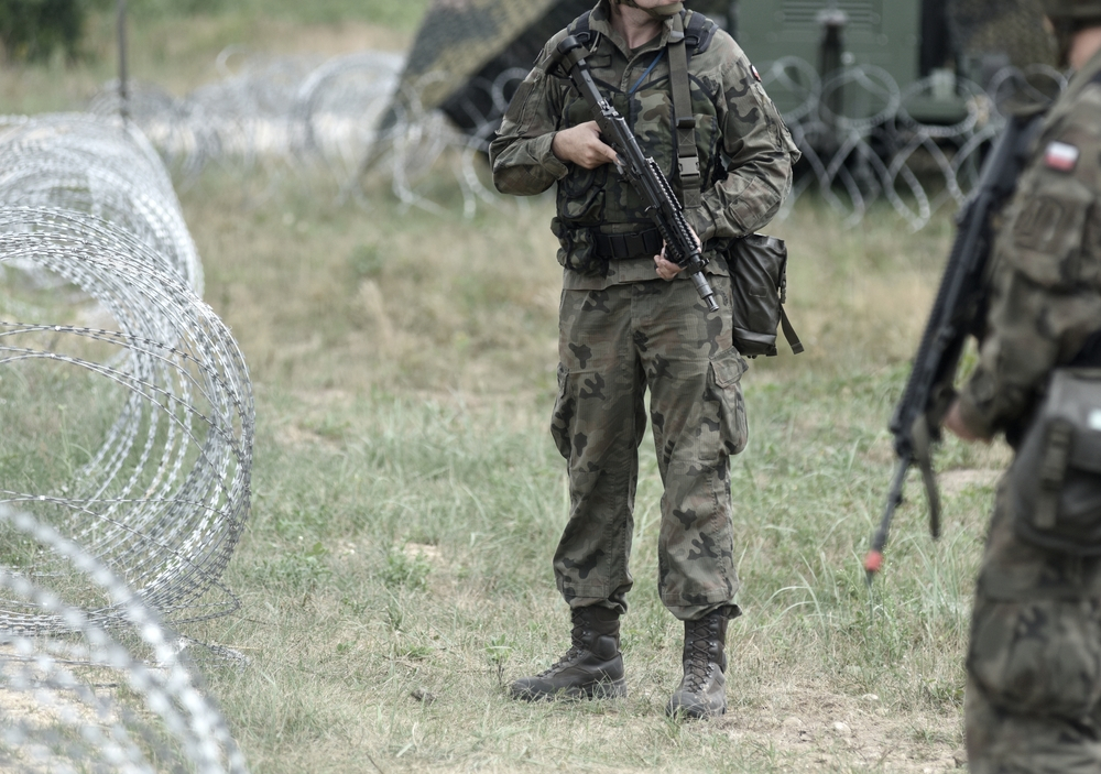
Border protection operations
Border sector · market visual

Visuals

Screens and context for this sector.

Deploy

Evaluate the stack. Ask about custom builds.

App Store for evaluation, Pricing for unlocks, Contact for white-label and agency configurations.

Not affiliated with the U.S. Government (NGA or USGS). Source: Customs & Border Protection market.