Screens
From the product gallery
User vectors
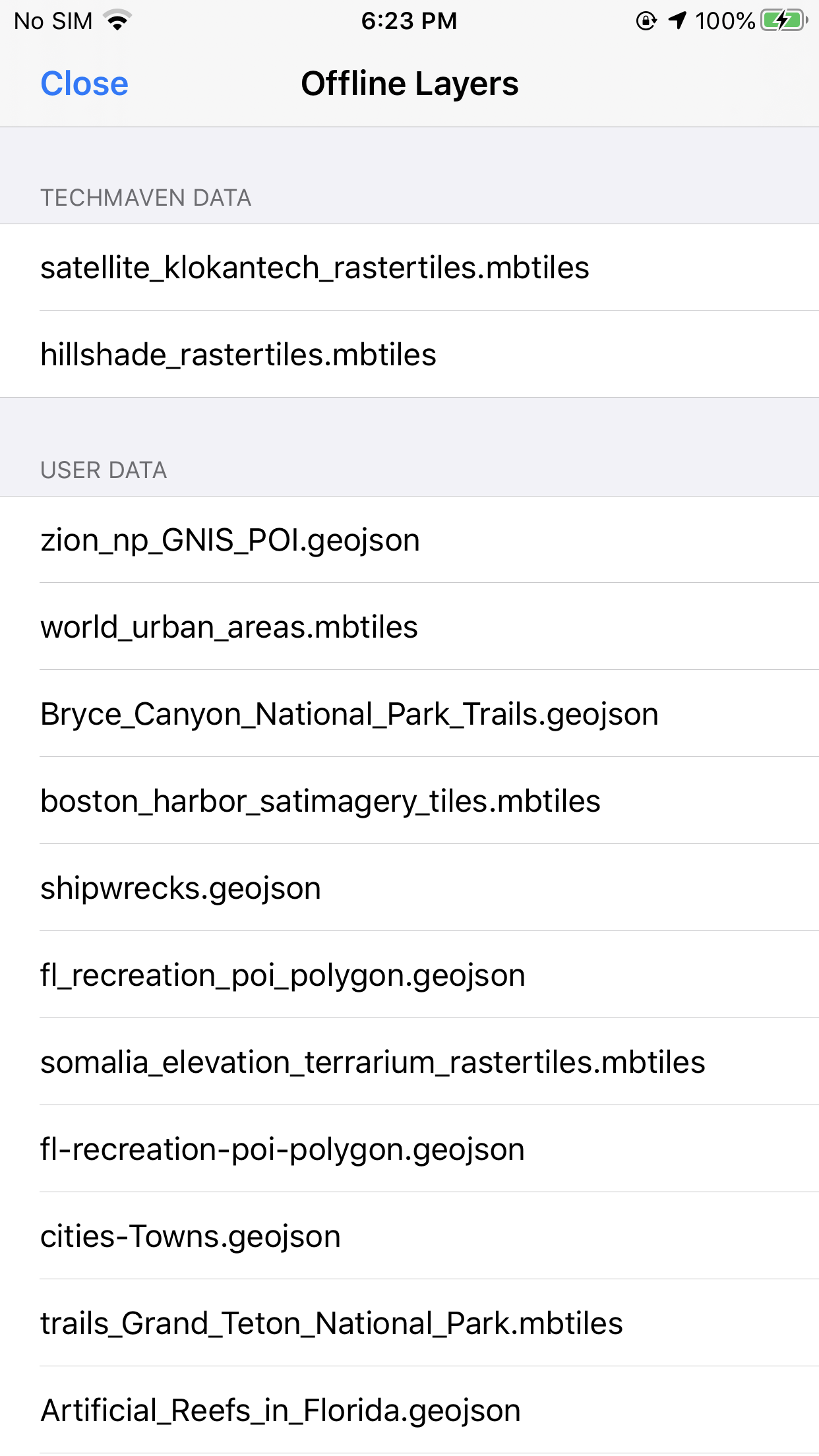
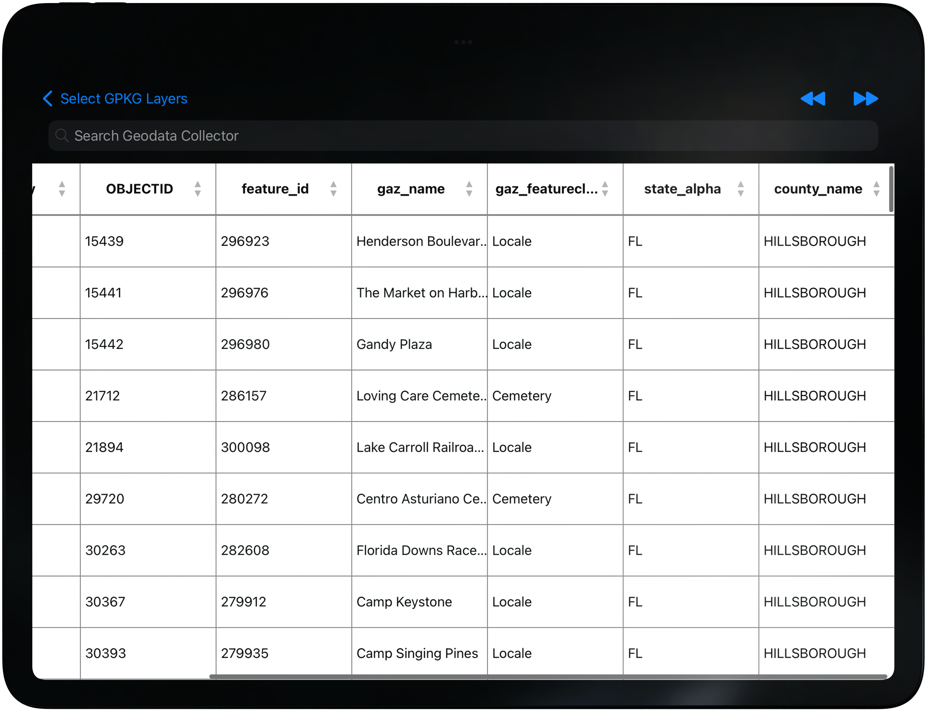
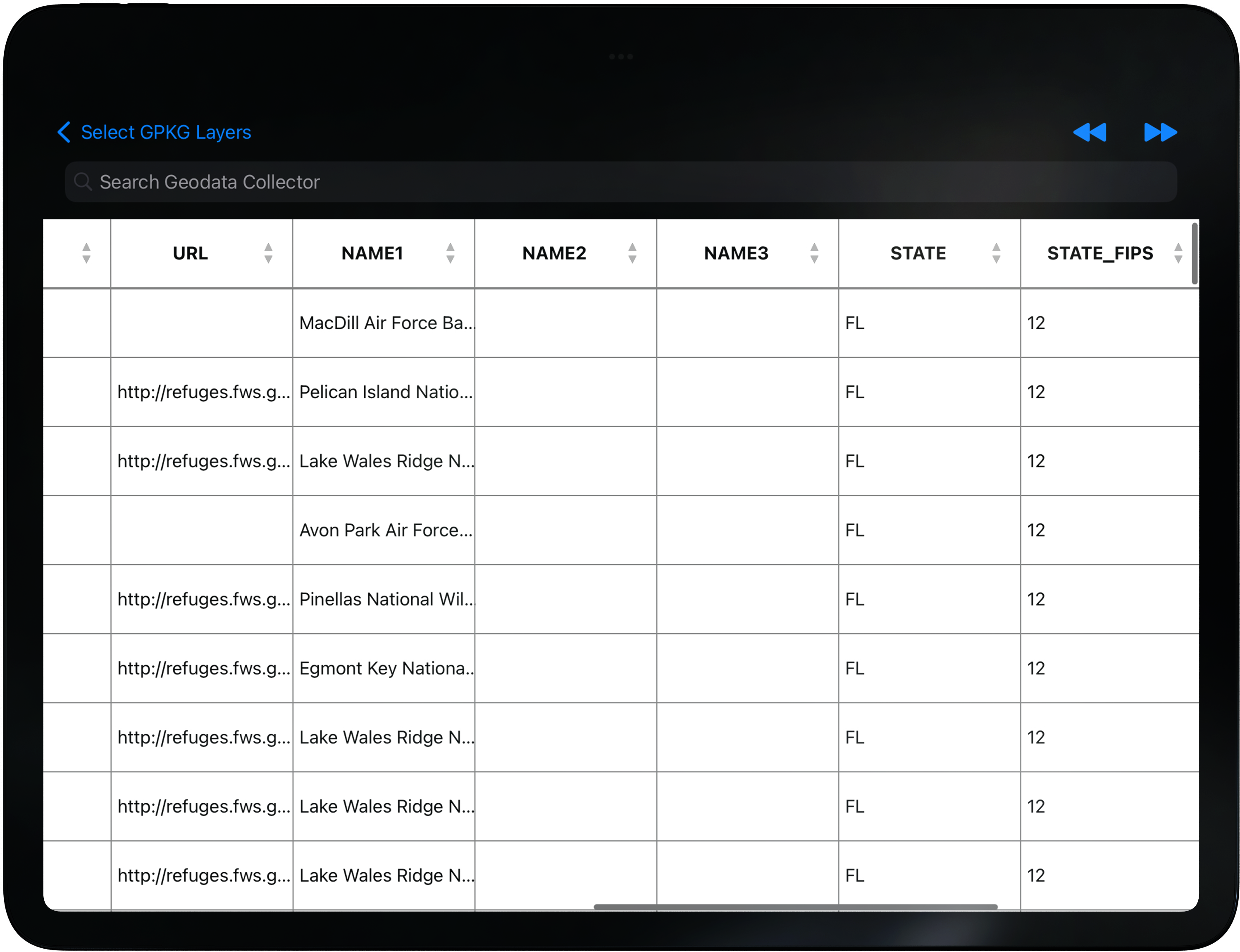
Load GeoJSON and GeoPackage vector layers on the map — style fill, opacity, and labels, then inspect attributes in the grid.
Device Data lets operators bring their own vectors. Style layers for brief clarity, toggle visibility, and open the attribute table when you need field-level detail.
Related: Attribute Grid · Vector Converter
In the field
Load GeoJSON and GeoPackage vector layers on the map — style fill, opacity, and labels, then inspect attributes in the grid.
Screens